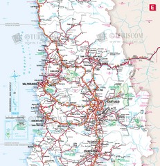
Central Chile Tourist Map
Provinces in Chile
811 miles away
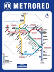
Santiago Chile Subway Map
Metro Red map for the Santiago, Chile Subway.
811 miles away
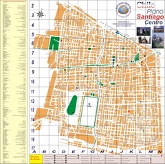
Santiago Center Map
Street map of city center
811 miles away
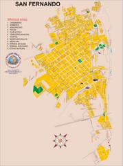
San Fernando Tourist Map
Tourist street map of city
813 miles away
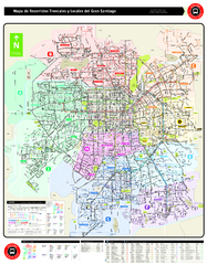
Santiago Bus and Metro Map
Shows bus routes and metro routes in Santiago, Chile. Shows the 10 areas of service in Santiago.
813 miles away
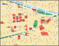
Central Santiago Street Map
Map of central Santiago, Chile
815 miles away
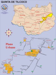
Quinta de Tilcoco Map
Street map of town
815 miles away
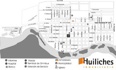
Junin de los Andes Map
Tourist street map of city
818 miles away
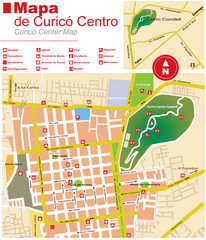
Curico Center Tourist Map
Tourist map of town center
821 miles away
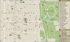
San Miguel de Tucuman Tourist Map
Tourist street map of downtown
828 miles away
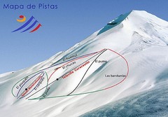
Corralco Ski Trail Map
Trail map from Corralco. It has 2 lifts servicing 9 runs. This ski area has its own website.
828 miles away
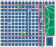
San Miguel de Tucuman City Map
Street map of downtown
829 miles away
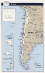
Chile Tourist Map
830 miles away

Santa Cruz South Map
Street map of city
833 miles away

Santa Cruz North Map
Street map of city
833 miles away
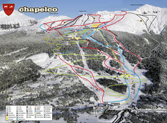
Chapelco Ski Trail Map
Trail map from Chapelco. This ski area has its own website.
834 miles away
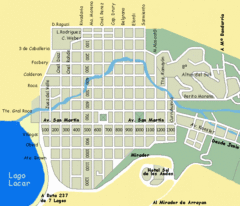
San Martin de los Andes Map
Street map of city
836 miles away

Bariloche Trail Map
Ski trail map
849 miles away

