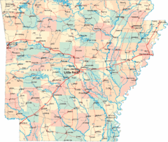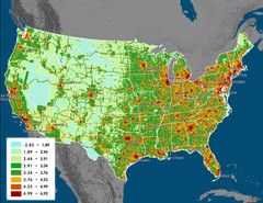
US Carbon Footprint Map
Shows the complete Vulcan Project CO2 emissions (all sectors - those presented in the first three...
307 miles away
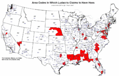
Ludacris' Hoes In Different Area Codes Map
Shows area codes in which rap star Ludacris claims to have hoes from his 2001 single "Area...
307 miles away
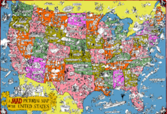
Mad Magazine USA Map
Detailed comedic drawings overlaid on a huge map of the US.
307 miles away
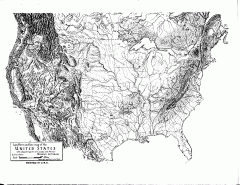
US Map - Landform Outline
Hand-drawn map of the US shows landforms (mountains and rivers) with amazing detail. Map created...
307 miles away
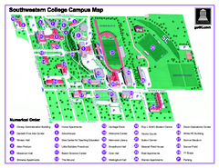
Southwestern College Campus Map
Southwestern College Campus Map. Shows all buildings.
307 miles away
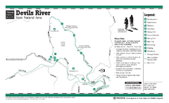
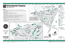
Devil's River, Texas State Park Facility and...
308 miles away
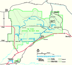
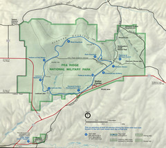
Pea Ridge National Military Park Official Map
Official NPS map of Pea Ridge National Military Park in Arkansas. The park is open year round 8-5...
308 miles away
Pea Ridge National Military Park Map
308 miles away
Government Canyon, Texas State Park Facility and...
309 miles away
Little Rock Map
309 miles away
Little Rock, Arkansas City Map
310 miles away
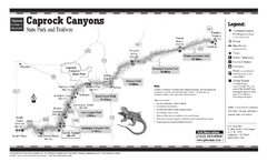
Caprock Canyon, Texas State Park Trail Map
310 miles away
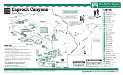
Caprock Canyon, Texas State Park Facility and...
310 miles away
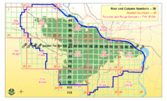
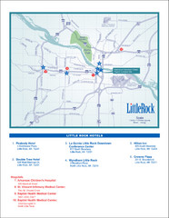
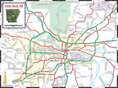
Little Rock City Map
City map of Little Rock, Arkansas with section designations
310 miles away
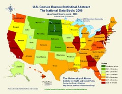
United States Travel Time to Work Statistical Map
311 miles away
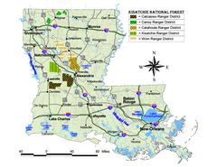
Kisatchie National Forest Map
Shows districts of Kisatchie National Forest in Louisiana
312 miles away
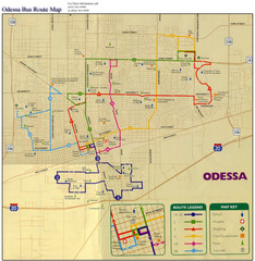
Odessa Bus Route Map
City of Odessa, Texas Bus Map with street level detail.
313 miles away
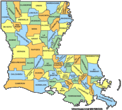
Louisiana Counties Map
313 miles away
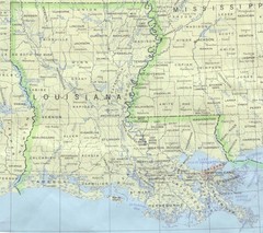
Louisiana Tourist Map
313 miles away
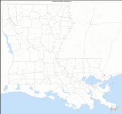
Louisiana Zip Code Map
Check out this Zip code map and every other state and county zip code map zipcodeguy.com.
313 miles away
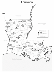
Louisiana Airports Map
313 miles away
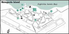
Matagorda Island State Park HQ Map
Shows park headquarters and facilities.
313 miles away

18th Century United States Map
313 miles away
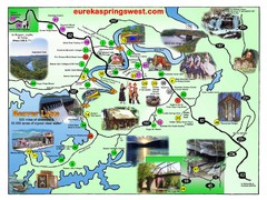
Eureka Springs West Tourist Map
Tourist map of Eureka Springs West on Beaver Lake in Eureka Springs, Arkansas. Shows points of...
313 miles away
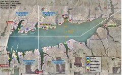
Winfield City Lake Map
Recreation map of Winfield City Lake in Winfield, Kansas. Named Timber Creek Lake. Shows camping...
315 miles away

Attractions in Amarillo, Texas Map
Tourist map of Amarillo, Texas. Shows museums, sports facilities, and other attractions.
316 miles away
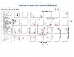
Walking tour of Historic Independence Map
Self-guided walking tour map of Historic Independence, Kansas. Shows historic housing in the...
316 miles away
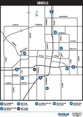
Amarillo Map
Map of main roads/highways in Amarillo
317 miles away
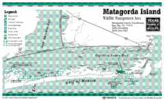
Matagorda Island State Park Map
318 miles away
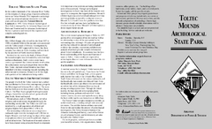
Toltec Mounds Archeological State Park Map
Map of the trails and earthworks sites of the Toltec Mounds Archeological State Park.
318 miles away
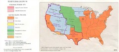
Territorial Expansion in Eastern United States...
320 miles away
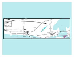
Goose Island, Texas State Park Map
324 miles away
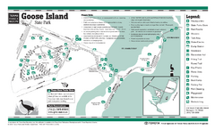
Goose Island, Texas State Park Facility and Trail...
324 miles away
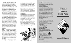
Woolly Hollow State Park Map
Map of Woolly Hollow State Park showing hiking trails and park amenities.
327 miles away
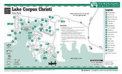
Lake Corpus Christi, Texas State Park Facility Map
327 miles away
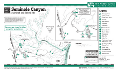
Seminole Canyon, Texas State Park Facility and...
327 miles away
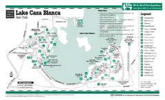
Lake Casa Blanca, Texas State Park Facility Map
328 miles away
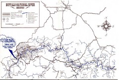
Buffalo National River Guide Map
330 miles away
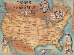
Tribes of the Indian Nation Map
Guide to the native tribes of North America
331 miles away

