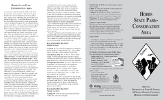
Hobbs State Park Map
Map of Hobbs State Park Conservation Area showing trail heads, roads, places of interests and...
296 miles away
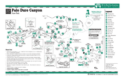
Palo Duro, Texas State Park Facility and Trail Map
299 miles away
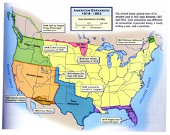
American Expansion 1818-1853 Map
Shows the four major steps through which the US gained most of it's western land between 1818...
301 miles away
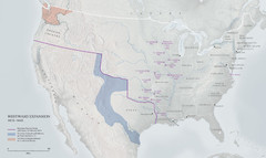
United States, Westward Expansion Map
302 miles away
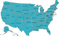
United States Map
302 miles away
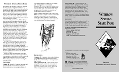
Withrow Springs State Park Map
Map for Withrow Springs State Park showing hiking trails and park amenities.
302 miles away
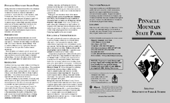
Pinnacle Mountain State Park Map
Map of the Pinnacle Mountain State Park including trails, park sites and amenities.
303 miles away
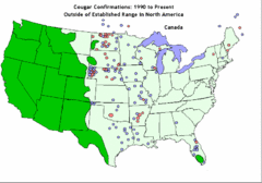
United States Cougar Territory and Eastern...
307 miles away
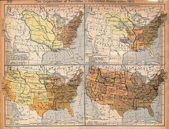
Expansion of United States Territory From 1803...
307 miles away
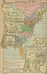
The United States - 1783-1803 Historical Map
307 miles away
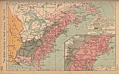
British Colonies - 1763-1776 Historical Map
307 miles away
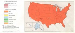
Territorial Expansion in United States - 1920...
307 miles away
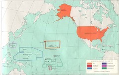
United States Territory - 1970 Historical Map
307 miles away
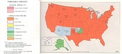
Territorial Expansion in Eastern United States...
307 miles away
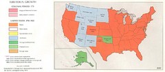
Territorial Expansion in Eastern United States...
307 miles away
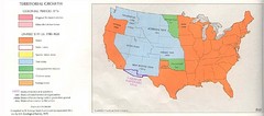
Territorial Expansion in Eastern United States...
307 miles away
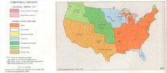
Territorial Expansion in Eastern United States...
307 miles away
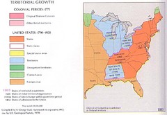
Territorial Expansion in Eastern United States...
307 miles away
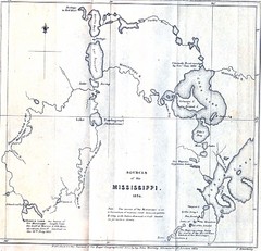
Sources of the Mississippi River - 1834...
307 miles away
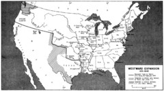
Westward Expansion in the United States 1815-1845...
307 miles away
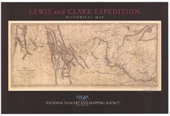
Historical Lewis & Clark Expedition...
307 miles away
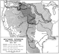
Westward Expansion in the United States 1803-1807...
307 miles away
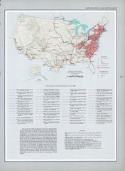
Exploration and Settlement in 1675 Historical...
307 miles away
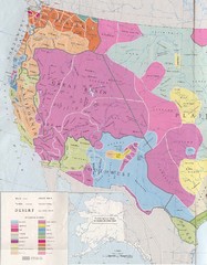
Early Native American Tribes in Western United...
307 miles away
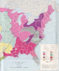
Early Native American Tribes in United States...
307 miles away
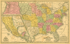
1839 United States Historical Map
307 miles away
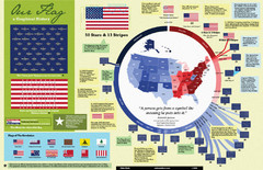
Our Flag: A Graphical Journey Map
A map/timeline that breaks down the visual history of the U.S. flag.
307 miles away
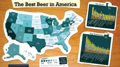
Best Beer in America 2008 Map
This map reveals the best, worst Great American Beer Festival medal winning states over 20 years of...
307 miles away
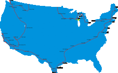
United States Select Cities Map
Approximately twenty cities in the United States.
307 miles away
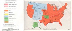
United States in 1870 Map
Map of the United States with territorities color coded and dated for statehood through 1920.
307 miles away
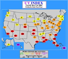
UV Index Map
UV forecast map for May 28, 2004 with exposure levels marked in color.
307 miles away
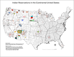
Indian Reservations in the Continental United...
Shows the location of Federal Indian Reservations in the continental United States
307 miles away
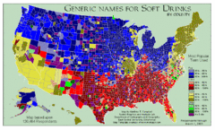
Pop vs Soda US Map
Shows most common names for soft drinks in the US by county. Based on 120,464 respondants.
307 miles away
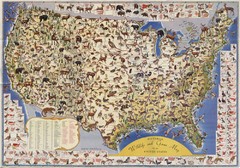
US Wildlife Map
Pictorial map of wildlife and game in the US.
307 miles away
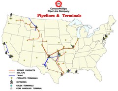
ConocoPhillips Pipelines & Terminals Map
Shows US pipelines & terminals for ConocoPhillips
307 miles away
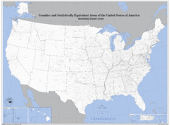
United States County Map
County map of the US
307 miles away
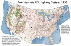
Pre-Interstate US Highway System Map
United States route and highway system pre-interstates, 1955
307 miles away
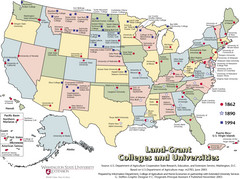
US College and University Land Grant Map
Shows land grants for US colleges and universities from 1862, 1890, and 1994
307 miles away
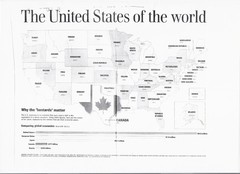
US GDP World Map
Labels each state in the US with the equivalent country in terms of GDP. Scanned.
307 miles away
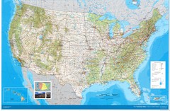
United States Map
Physical relief wall map of the United States.
307 miles away

