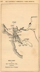
Antique map of San Francisco from 1901
"Milk Map of San Franciso, Cal., Showing Productive Area of Supply." From Report of the...
16 miles away

1895 San Francisco Bay Area Map
Guide to the San Francisco Bay Area in 1895
17 miles away
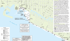
Crown Memorial State Beach Map
17 miles away
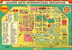
Golden Gate International Expo 1939 Map
Map of the 1939 Golden Gate International Expo.
17 miles away
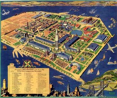
Golden Gate International Expo Cartograph 1939 Map
Bird's eye view of the Golden Gate International Expo in 1939 at Treasure Island in the San...
17 miles away
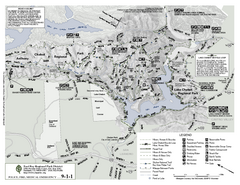
Anthony Chabot Regional Park Map - South
17 miles away
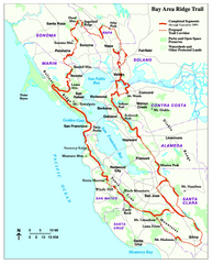
Bay Area Ridge Trail Map
Map of the Bay Area Ridge Trail. Shows completed segments through Sep 2009. "a 550+ mile...
18 miles away
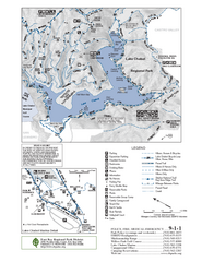
Lake Chabot Trail Map
18 miles away
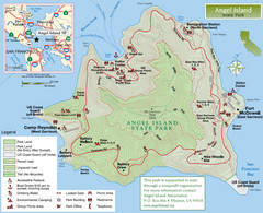
Angel Island State Park Map
Official map of Angel Island State Park in the San Francisco Bay. Shows paved and unpaved roads...
18 miles away
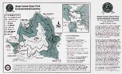
Angel Island State Park Map
Map of park with detail of trails and recreation zones
18 miles away
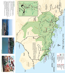
China Camp State Park Map
Trail map of China Camp State Park. Shows trails by use type and all park facilities.
19 miles away
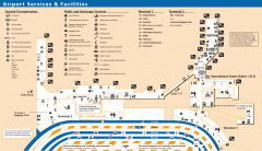
Oakland International Airport (OAK) Map
Terminal map. Shows all airport services and facilities
19 miles away
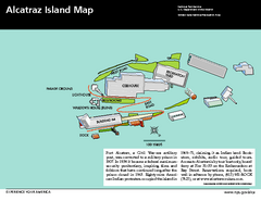
Alcatraz Island Map
Official NPS map of Alcatraz Island National Park in the San Francisco Bay, California
19 miles away
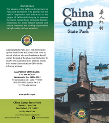
China Camp State Park Map
Map of park with detail of trails and recreation zones
19 miles away
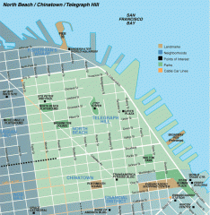
North Beach, Chinatown, Telegraph Hill map
Tourist map of North Beach, Chinatown, and Telegraph Hill in San Francisco
20 miles away
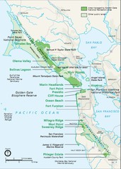
Golden Gate National Recreation Area Area Map
20 miles away
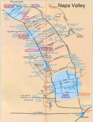
Napa Valley Tourist map
Tourist map of Napa Valley in California, showing wineries and museums in the area.
20 miles away
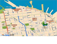
Downtown San Francisco: Fisherman's Wharf...
Tourist map of Fisherman's Wharf, North Beach, and Telegraph Hill area in downtown San...
20 miles away
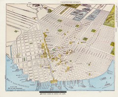
1896 San Francisco Perspective Map
Guide to historic San Francisco, in hand drawn perspective
20 miles away

1852 San Francisco Map
Guide to San Francisco, prior to 1852
20 miles away

Farwell’s Map of Chinatown in San Francisco...
This map of vice in San Francisco's Chinatown in 1885. A fascinating historical document, as...
20 miles away
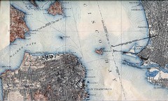
San Francisco Map 1915
20 miles away
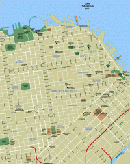
Downtown San Francisco tourist map
Tourist map of Downtown San Francisco spanning several neighborhoods, showing points of interest.
20 miles away
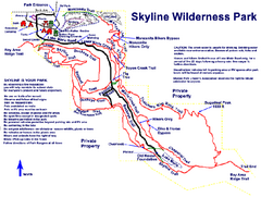
Skyline Wilderness Park Map
Trail map of Skyline Wilderness Park in Napa, California
20 miles away
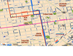
Downtown San Francisco: Union Square, Chinatown...
Tourist map of Union Square, Chinatown and Nob Hill in Downtown San Francisco, California. Public...
20 miles away
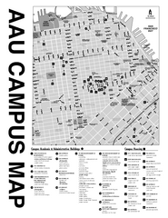
Academy of Art University San Francisco, CA Map
20 miles away
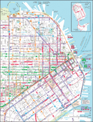
Downtown San Francisco Transit Map
Guide to area and transit in downtown San Francisco
20 miles away
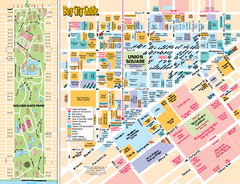
Union Square Tourist Map
Tourist map of Union Square district in San Francisco, California. Shows all venues and points of...
20 miles away
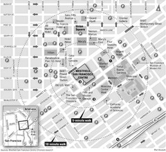
San Francisco City Center Map
20 miles away
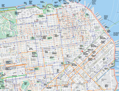
San Francisco Map
Road and Bike routes in San Francisco
20 miles away
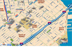
Downtown San Francisco: South of Market, Yerba...
Tourist map of South of Market (SOMA), Yerba Buena Center, and South Beach areas in downtown San...
20 miles away
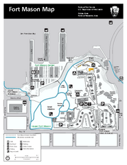
Fort Mason Map
Overview map of Fort Mason, San Francisco, California. Shows trails and points of interest.
20 miles away

San Francisco Historic Rail Map
Map of San Francisco historic rail lines
21 miles away

Santa Margarita Island, Santa Venetia Marsh, and...
Park map of Santa Margarita Island Open Space Preserve, Santa Venetia Marsh Open Space Preserve...
21 miles away
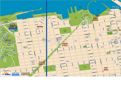
Downtown San Francisco: Fort Mason, the Marina...
Tourist map of Fort Mason, the Marina, and Pacific Heights area in downtown San Francisco...
21 miles away
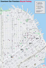
San Francisco Bike Parking Map
Multiple bike-parking points in San Francisco.
21 miles away
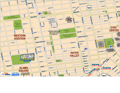
Hayes Valley, Fillmore, Western Addition, Alamo...
Tourist map of Hayes Valley, Fillmore, Western Addition, and Alamo Square in San Francisco.
21 miles away
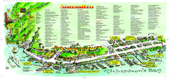
Sausalito Tourist Map
Visitor map of Sausalito, California. Shows restaurants, shopping, and other points of interest
21 miles away
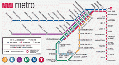
San Francisco Muni Metro map
Official SFMTA San Francisco MUNI Metro map. Shows overlapping BART stations and the Cal Train...
21 miles away
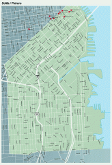
SoMa, Potrero Hill tourist map
Tourist map of SoMa and Potrero Hill in San Francisco
21 miles away

