Melbourne Tram Map
1088 miles away
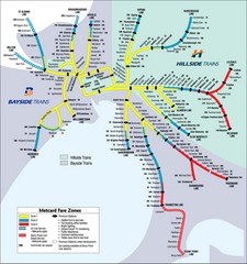
Melbourne Rail Map
Map of Melbourne rail system
1088 miles away
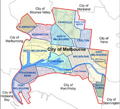
City of Melbourne Australia Boundary Map
Boundary map showing the suburbs of Melbourne, Australia. No street level detail.
1088 miles away
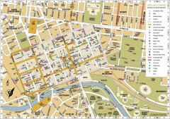
Melbourne Central District Tourist Map
Shows city of Melbourne Central District. Shows hotels, parking, trains stations, shopping/cafes...
1088 miles away
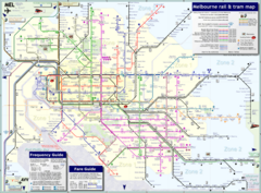
Melbourne Train & Tram Map
Map of Melbourne public transit
1088 miles away
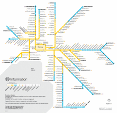
Melbourne Train Map
1088 miles away
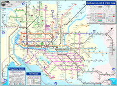
Melbourne Rail and Tram Map
Transportation in Melbourne
1088 miles away
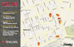
Downtown Melbourne Restaurant Map
1088 miles away
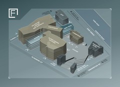
Federation Square Map
Map of Fed Square, Melbourne, Australia. Shows 3D views of buildings.
1088 miles away
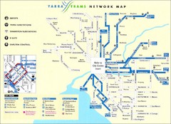
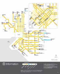
Melbourne Tram Map
Map of Melbourne tram system
1088 miles away
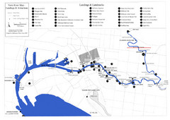
Yarra River Map
Map of Yarra River in Melbourne, Australia shows landings and landmarks.
1088 miles away
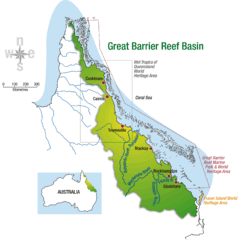
Great Barrier Reef Basin Map
1098 miles away
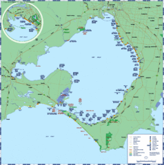
Port Phillip Bay Tourist Map
Tourist map of Port Phillip Bay. Shows points of interest.
1099 miles away
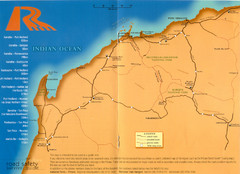
Karratha Road Map
Road Map shows all roads around Karratha, and the distances in Kilometers to other towns.
1102 miles away
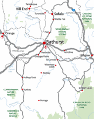
Bathurst District Map
Simple map marking the borders of Bathurst.
1106 miles away
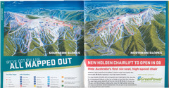
Mount Buller Ski Trail Map
Trail map from Mount Buller.
1110 miles away
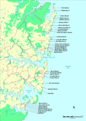
New South Wales, Australia Beach Tourist Map
1117 miles away
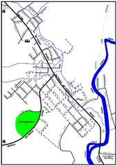
Mount Perry Tourist Map
Tourist map of town of Mount Perry, Australia
1117 miles away
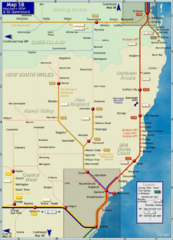
Northern New South Wales Map
Map of long-distance rail system throughout New South Wales and South East Queensland
1127 miles away
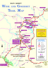
South Burnett Trail Map
Wine and gourmet trail map
1128 miles away
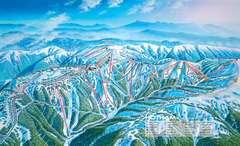
Mount Hotham Ski Trail Map
Trail map from Mount Hotham, which provides downhill, night, nordic, and terrain park skiing. It...
1130 miles away

Mount Hotham Ski Trail Map
Mount Hotham Alpine Resort ski trail map
1130 miles away
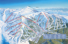
Falls Creek Ski Trail Map
Trail map from Falls Creek.
1130 miles away
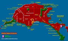
Phillip Island Tourist Map
Places of interest.
1133 miles away
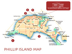
Phillip Island, Australia Beach Map
1136 miles away
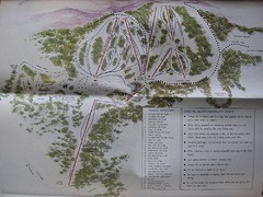
Mount Baw Baw Ski Trail Map
Trail map from Mount Baw Baw.
1137 miles away
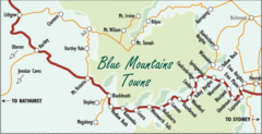
Blue Mountains' Towns Map
Simple map clearly marking each town in the Blue Mountain area.
1142 miles away
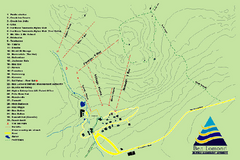
Ben Lomond Ski Trail Map
Trail map from Ben Lomond.
1142 miles away
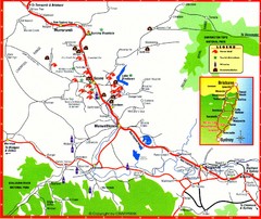
Upper Hunter Valley Tourist Map
Tourist map of Upper Hunter Valley around Muswellbrook, NSW, Australia. Shows horse studs, tourist...
1143 miles away
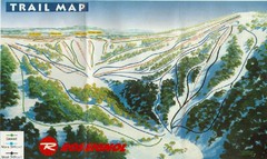
Selwyn Snowfields Ski Trail Map
Trail map from Selwyn snowfields.
1145 miles away
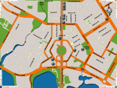
Canberra Hotels Map
1147 miles away
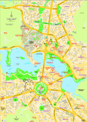
Canberra Street Map
1147 miles away
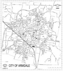
City Of Armidale Map
Large road map clearly marking streets throughout this wonderful city.
1151 miles away
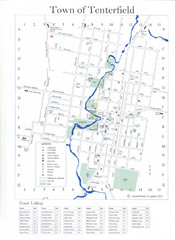
Tenterfield Town Map
1151 miles away
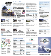
Charlotte Pass Ski Trail Map
Trail map from Charlotte Pass.
1156 miles away
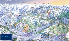
Perisher Ski Trail Map
Trail map from Perisher.
1158 miles away
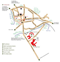
Killarney Tourist Map
1162 miles away
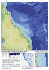
Great Barrier Reef and Coral Sea Bathymetry Map
High resolution depth and elevation map of the Great Barrier Reef, Coral Sea and neighbouring...
1164 miles away

