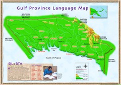
Gulf Province language Map
1844 miles away
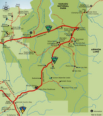
Kakadu National Park, Australia Map
1847 miles away
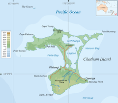
Chatham Island Map
1857 miles away
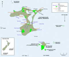
Chatham Island Map
1860 miles away
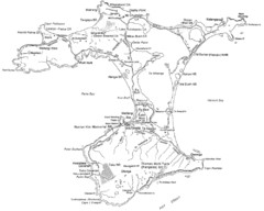
Chatham Island Map
1861 miles away
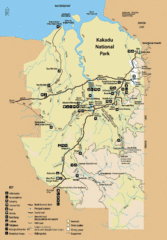
Kakadu National Park Map
Official map of Kakadu National Park, Australia. Shows all roads, trails, and facilities
1862 miles away
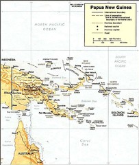
Papua New Guinea topographic Map
1872 miles away
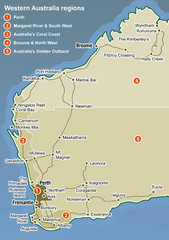
Western Australia Map
Map of Western Australia region with detail of districts
1884 miles away
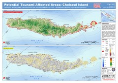
Tunami Affected Areas of Choiseul Island Map
The map illustrates the areas 10m and below potentially affected by the tsunami on the coast of...
1891 miles away
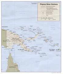
Papua New Guinea Map
1895 miles away
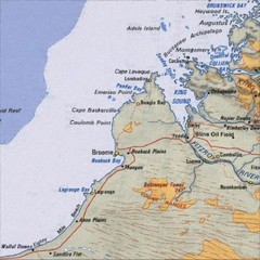
Central Western Australia Region Map
1897 miles away

Western Australia State Barrier Fence Map
Map shows the Rabbit barrier fence built in 1901 in Burracoppin and Merredin just east of Perth.
1906 miles away
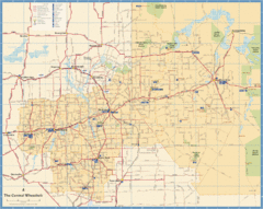
Wheatbelt Central Western Australia Map
Map of the central wheatbelt area near Merredin, Western Australia
1916 miles away

Bruce Rock Town Map
1917 miles away

Denmark, Western Australia East District Guide Map
The eastern district of Denmark, Western Australia
1924 miles away

Denmark, Western Australia Guide Map
Locations and areas in Denmark, Western Australia
1924 miles away
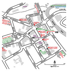
Denmark Western Australia Tourist Map
Tourist map of town of Denmark, Western Australia. Shows accommodations and restaurants.
1924 miles away
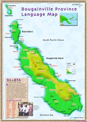
Bougainville Province language Map
1936 miles away
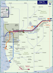
Western Australia Rail Map
Map of long-distance rail system throughout Western Australia
1953 miles away
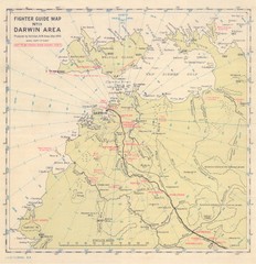
Darwin Area Fighter Guide Map
Fighter Guide Map of Airfields around Darwin
1955 miles away
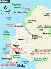
Darwin, Australia City Map
1959 miles away
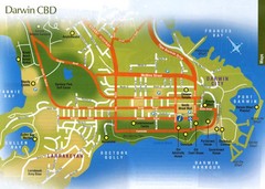
Darwin, Australia City Map
1959 miles away
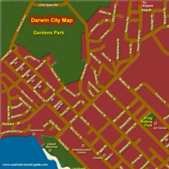
Inner Darwin, Australia City Map
1959 miles away
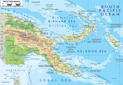
Papua New Guinea physical Map
1962 miles away
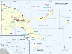
Papua New Guinea Map
1962 miles away
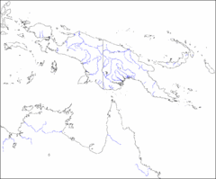
New Guinea Map
Regional Map of the Island of New
1962 miles away
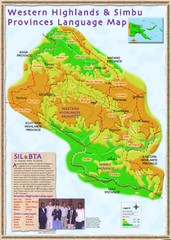
Western Highlands language Map
1963 miles away
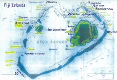
Beqa Island dive sites Map
1975 miles away
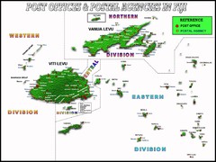
Fija Postal Locations Map
1992 miles away
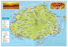
Viti Levu Fiji Tourist Map
1993 miles away
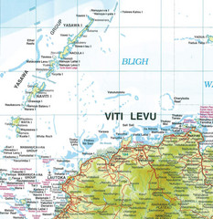
Yasawa Islands Map
Map showing the Yasawa Islands, a chain of 16 large volcanic islands located about 35km off the...
2001 miles away
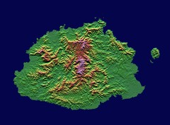
Fiji topographic Map
2004 miles away
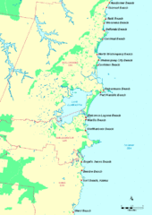
Illawarra, Australia Beach Tourist Map
2028 miles away
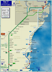
Illawarra Rail Map
Map of rail system throughout Illawarra, New South Wales South Coast, and Southern Highlands
2039 miles away
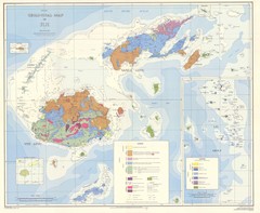
Fiji Geological Map
Geological map of Fiji islands. First edition.
2043 miles away
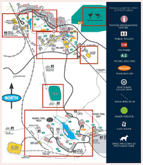
Whiteman Park Map
2044 miles away
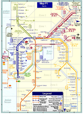
Perth Rail Map
Map of rail system throughout Perth and surrounding area
2046 miles away
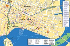
Perth Street Map
Tourist map of Perth, with detail of streets, hotels and tourist attractions
2046 miles away
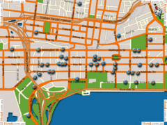
Perth Hotel Map
2047 miles away


