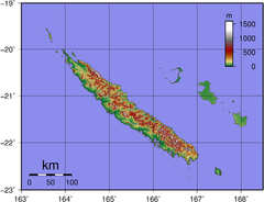
New Caldeonia Topographic Map
1331 miles away
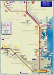
Hunter Valley Rail Map
Map of rail system throughout Hunter Valley, New South Wales Central Coast, and Blue Mountains
1342 miles away
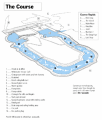
Penrith Whitewater Stadium Course Map
Whitewater rapids map of Penrith Whitewater Stadium, the competition venue for the canoe/kayak...
1350 miles away
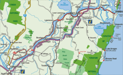
Clarence River Tourist Map
Clarence River in New South Wales, Australia shows cities, roads, tourist information and parks.
1360 miles away
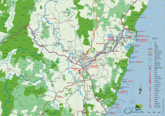
Clarence Valley Tourist Map
Detailed map of the Clarence Valley in New South Wales, Australia. Shows major and minor roads...
1365 miles away
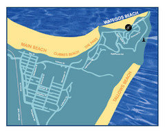
Wategos Beach, Australia Beach Map
1373 miles away
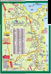
Byron Bay Tourist Map
1374 miles away
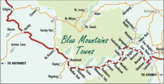
Blue Mountains' Towns Map
Simple map clearly marking each town in the Blue Mountain area.
1379 miles away
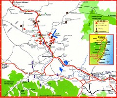
Upper Hunter Valley Tourist Map
Tourist map of Upper Hunter Valley around Muswellbrook, NSW, Australia. Shows horse studs, tourist...
1381 miles away
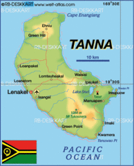
Tanna island Map
1385 miles away
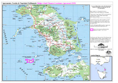
Flinders Island Map
Shows badger island financial assistance agreement 2000. Also shows Cape Barren Island
1386 miles away
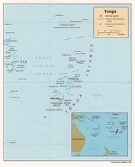
Tonga Islands Map
1388 miles away
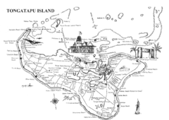
Tongatapu Island Map
1391 miles away
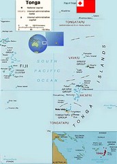
Tonga Islands Map
1391 miles away
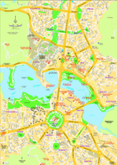
Canberra Street Map
1395 miles away
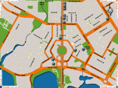
Canberra Hotels Map
1395 miles away
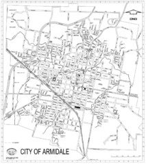
City Of Armidale Map
Large road map clearly marking streets throughout this wonderful city.
1397 miles away
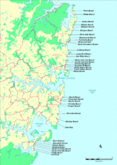
New South Wales, Australia Beach Tourist Map
1403 miles away
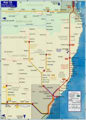
Northern New South Wales Map
Map of long-distance rail system throughout New South Wales and South East Queensland
1405 miles away
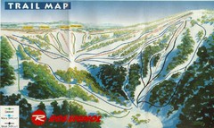
Selwyn Snowfields Ski Trail Map
Trail map from Selwyn snowfields.
1410 miles away
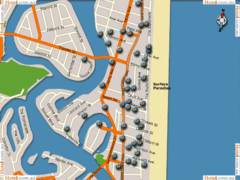
Surfers Paradise Hotel Map
1410 miles away
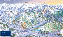
Perisher Ski Trail Map
Trail map from Perisher.
1411 miles away
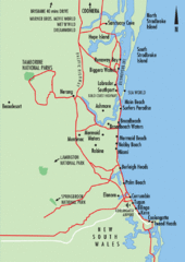
Gold Coast, Australia Beach Map
1413 miles away

Charlotte Pass Ski Trail Map
Trail map from Charlotte Pass.
1415 miles away
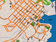
Hobart Hotel Map
1415 miles away
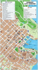
Hobart Tourist Map
Tourist map of the city center of Hobart, Tasmania. Shows tourist features and services.
1416 miles away
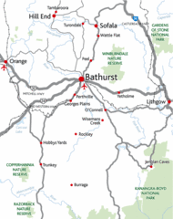
Bathurst District Map
Simple map marking the borders of Bathurst.
1416 miles away
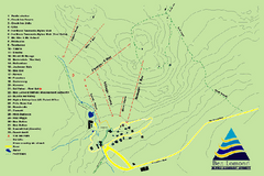
Ben Lomond Ski Trail Map
Trail map from Ben Lomond.
1417 miles away
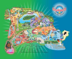
Dreamworld Visitor Map
Dreamworld amusement park visitor map.
1421 miles away
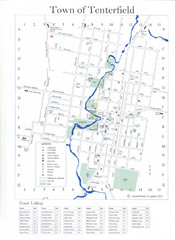
Tenterfield Town Map
1436 miles away
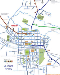
Mudgee Town Map
1439 miles away
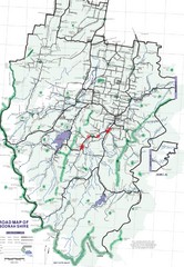
Boonah Shire Magpie Map
Road map of Boonah Shire, Australia. Shows locations of magpie encounters while road biking.
1444 miles away
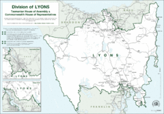
Lyons Political Divisions Map
1444 miles away
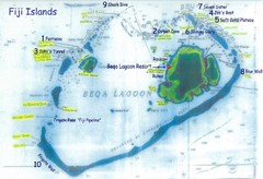
Beqa Island dive sites Map
1450 miles away
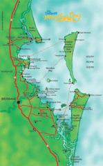
Moreton Bay, Australia Beach Map
1450 miles away
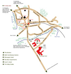
Killarney Tourist Map
1451 miles away
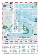
Downtown Brisbane Map
My Travel Maps: travel maps
1452 miles away
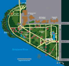
Brisbane City Botanic Gardens Map
Map of Brisbane City Botanic Gardens with suggested walking trail
1452 miles away

