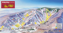
Holiday Valley Resort Ski Trail Map
Trail map from Holiday Valley Resort.
182 miles away
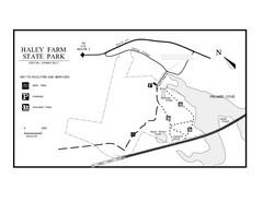
Haley Farm State Park map
Trail map of Haley Farm State Park in Connecticut.
182 miles away
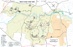
Ridley Creek State Park Map
Detailed recreation map for Ridley Creek State Park in Pennsylvania
182 miles away
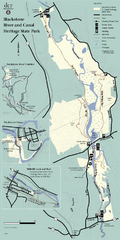
Heritage State Park Map
Clear state park map marking trails and facilities.
182 miles away
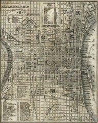
Antique map of Philadelphia from 1842
Antique map of "Philadelphia" from Tanner, H.S. The American Traveller; or Guide Through...
182 miles away
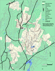
Upton State Forest trail map
Trail map for Upton State Forest in Massachusetts.
182 miles away
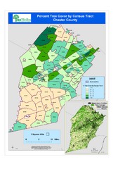
Chester County Tree Cover Map
Poster map of tree cover in Chester County, Pennsylvania
182 miles away
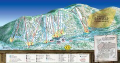
Holimont Ski Trail Map
Official ski trail map of Holimont ski area from the 2006-2007 season.
182 miles away
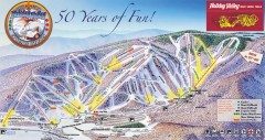
Holiday Valley Ski Trail Map
Official ski trail map of Holiday Valley ski area from the 2007-2008 season.
182 miles away
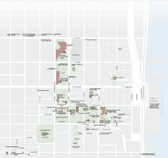
Independence National Historical Park Official Map
Official NPS map of Independence National Historical Park in Pennsylvania. Map shows all areas...
183 miles away
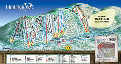
HoliMont Ski Trail Map
Trail map from HoliMont.
183 miles away
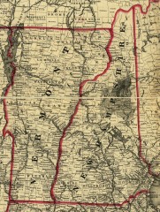
Map of New Hampshire and Vermont 1860
Map of New Hampshire and Vermont, 1860
183 miles away
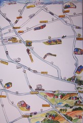
Handrawn Lancaster County Map
Guide to Amish country in Pennsylvania
183 miles away
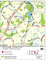
Delaney Conservation Land Map
183 miles away
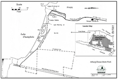
Alburg Dunes State Park map
Map of Alburg Dunes State Park in Vermont.
183 miles away
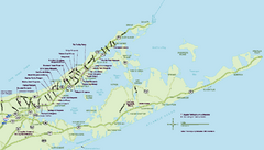
Long Island Wineries Map
Map of LIWC member wineries offering wine tastings to the public.
183 miles away
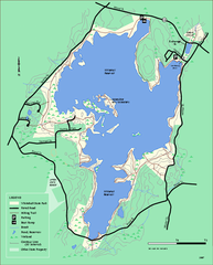
Whitehall State Park trail map
Trail map of Whitehall State Park in Massachusetts.
183 miles away
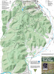
Ellicottville Area Trail Map
Shows mountain biking trails in the Holiday/Holimont/McCarty Hill/Rock City area south of...
183 miles away
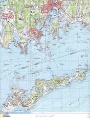
Fishers Island Map
In Long Island Sound
184 miles away
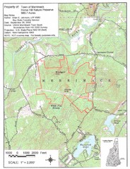
Merrimack Topo Map
A Topographical map Horse Hill Nature Preserve.
184 miles away
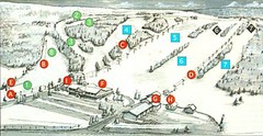
Tussey Mountain Ski Trail Map
Trail map from Tussey Mountain.
184 miles away

Penn-Roosevelt State Park map
Recreation map for Penn Roosevelt State Park in Pennsylvania
185 miles away
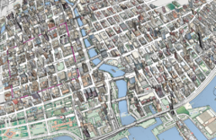
map a
185 miles away
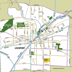
Lockport, New York Map
Map of downtown Lockport, New York, with parks, hospitals, and other points of interest shown.
185 miles away
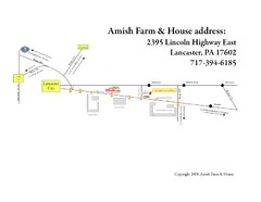
Amish Farm and House Route Map
Map showing directions to the Amish Farm and House with locations of key buildings and streets in...
185 miles away
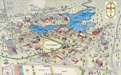
St. Paul's School Campus Map
Campus map of St. Paul's School
185 miles away
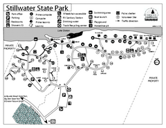
Stillwater State Park Campground Map
Campground map for Stillwater State Park in Vermont
185 miles away
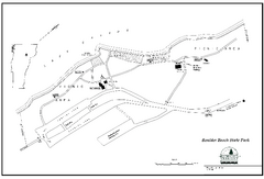
Boulder Beach State Park map
Map of Boulder Beach State Park on Lake Groton in Vermont.
185 miles away
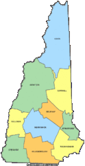
New Hampshire Counties Map
185 miles away
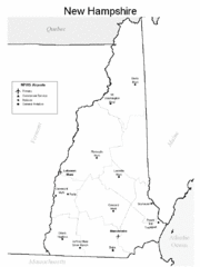
New Hampshire Airports Map
185 miles away
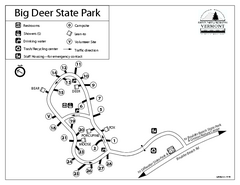
Big Deer State Park map
Campground map for Big Dear State Park in Vermont
185 miles away
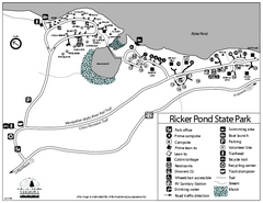
Ricker Pond State Park Campground Map
Campground map of Ricker Pond State Park in Vermont
186 miles away

Kinzua Bridge State Park Map
Detailed map of Kinzua Bridge State Park in Pennsylvania.
186 miles away
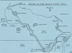
Mason Dixon Trail Map
Hand drawn map of the Mason-Dixon Trail. The 193 mile long Mason-Dixon Trail starts on the...
186 miles away
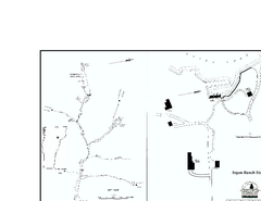
Seyon Lodge State Park Map
Campground map of Seyon Lodge State Park in Vermont
186 miles away
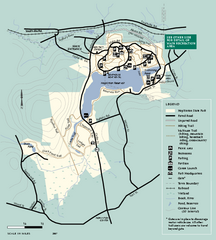
Hopkinton State Park trail map
Trail map of Hopkinton State Park in Massachusetts
186 miles away
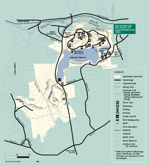
Hopkinton State Park trail map
Trail map of Hopkinton State Park in Massachusetts
186 miles away
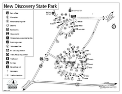
New Discovery State Park Campground Map
Campground map of New Discovery State Park in Vermont, including nearby Kettle Pond
186 miles away
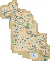
Blackstone Valley tourist map
Tourist map of the Blackston Valley in Rhode Island and Massachusetts. Shows hiking, biking, and...
187 miles away


