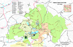
French Creek State Park map
Detailed recreation map for French Creek State Park in Pennsylvania
167 miles away
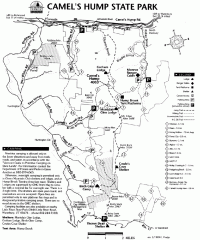
Camel's Hump State Park map
Map of Camel's Hump State Park, Vermont. Shows all hiking, snowmobile, and X-C ski trails...
167 miles away
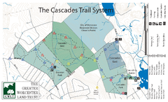
Cascades Park Map
167 miles away
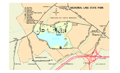
Memorial Lake State Park map
Detailed map of Memorial Lake State Park in Pennsylvania
167 miles away
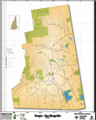
Temple NH Topo Map
Topographical map of Temple, NH area. Shows all roads and points of interest.
168 miles away
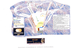
Arrowhead Arrowhead Ski Trail Map
Trail map from Arrowhead.
168 miles away
Appalachian National Scenic Trail Map
Scenic trail Maine to Georgia
168 miles away
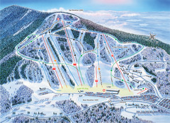
Crotched Mountain Ski Trail Map
Trail map from Crotched Mountain.
168 miles away
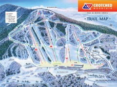
Crotched Mountain Ski Trail Map
Official ski trail map of Crotched Mountain ski area from the 2007-2008 season.
168 miles away
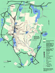
Leominster State Forest trail map
Trail map of Leominster State Forest in Massachusetts
168 miles away
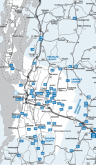
Chittenden County Map
168 miles away
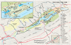
Bald Eagle State Park map
Detailed trail map of Bald Eagle State Park in Pennsylvania.
168 miles away
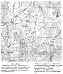
Trout Brook Conservation Area Map
168 miles away
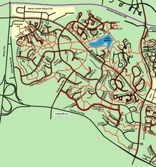
Burke Centre Area Trail Map
169 miles away
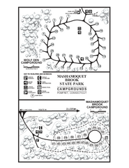
Mashamoquet Brook State Park campground map
Campground map of Mashamoquet Brook State Park in Connecticut.
169 miles away
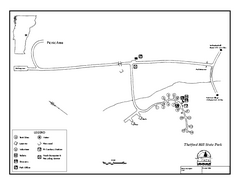
Thetford State Park Campground Map
Campground map for Thetford Hill State Park in Vermont
169 miles away
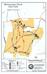
Mashamoquet Brook State Park trail map
Trail map of Mashamoquet Brook State Park in Connecticut.
169 miles away
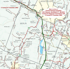
Berlin, Vermont Guide Map
169 miles away

Fort Washington State Park map
Map of Fort Washington State Park in Pennsylvania.
170 miles away
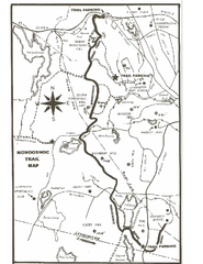
Monoosnoc Trail Map
170 miles away
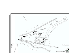
Sand Bar State Park Map
Campground map of Sand Bar State Park in Vermont
171 miles away
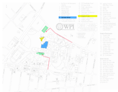
Worcester Polytechnic Institute Campus Map
Map of Worcester Polytechnic Institute. Includes all buildings, parking, streets, and location of...
171 miles away
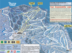
Bolton Valley Resort ski trail map
Official ski trail map of Bolton Valley ski area from the 2005-2006 season.
171 miles away
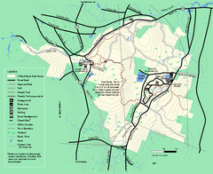
Willard Brook State Forest trail map
Trail map of Willard Brook State Forest in Massachusetts.
171 miles away
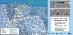
Bolton Valley Resort Ski Trail Map
Trail map from Bolton Valley Resort.
171 miles away

Poe Valley State Park map
Detailed recreation map for Poe Valley State Park in Pennsylvania
171 miles away
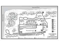
Salt Rock State Park campground map
Campground Map of Salt Rock State Campground in Connecticut.
171 miles away
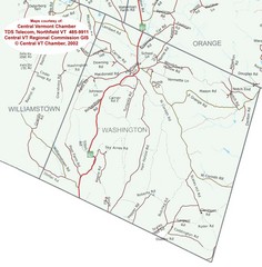
Washington, Vermont Map
172 miles away

Mine Brook Wildlife Management Area Map
172 miles away
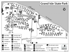
Grand Isle State Park Campground Map
Campground map for Grand Isle State Park in Vermont
172 miles away
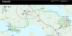
Colonial National Historical Park Official Map
Official NPS map of Colonial National Historical Park in Virginia. The Historic Jamestowne...
172 miles away

Six Flags Great Adventure Theme Park Map
Official park map of Six Flags Great Adventure, New Jersey.
173 miles away
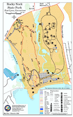
Rocky Neck State Park trail map
Trail map of Rocky Neck State Park in Connecticut.
173 miles away
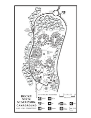
Rocky Neck State Park campground map
Campground map of Rocky Neck State Park in Connecticut.
173 miles away
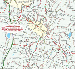
Barre, Vermont Guide Map
173 miles away
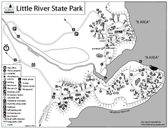
Little River State Park Campground Map
Campground map of Little River State Park in Vermont
173 miles away

Neshaminy State Park map
Detailed recreation map of Neshaminy State Park in Pennsylvania
174 miles away
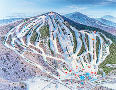
Pats Peak Ski Map
ski trail map of pats peak ski area
174 miles away
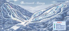
Dartmouth Skiway Trail Map
Official ski trail map of the Dartmouth Skiway. The Skiway is owned by Dartmouth College. Over...
174 miles away
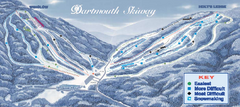
Dartmouth Skiway Ski Trail Map
Trail map from Dartmouth Skiway.
174 miles away

