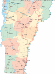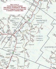
Waitsfield, Vermont City Map
161 miles away

Hammonasset Beach State Park campground map
Campground map of Hammonasset State Park in Connecticut.
161 miles away
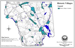
Historic Villages of Mansfield, Connecticut Map
Historical villages outlined on the map of the existing city.
161 miles away
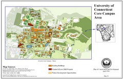
University of Connecticut Campus Map
Map shows current, funded projects and future development for UConn.
161 miles away
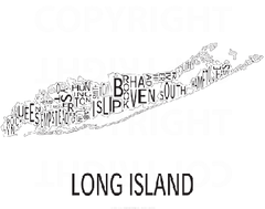
Urban Neighborhood Map: Long Island Map
This Urban Neighborhood Poster of Long Island is a modern twist on traditional maps. The typography...
161 miles away
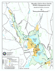
Mansfield Hollow State Park map
Map for Mansfield Hollow State Park and Wildlife Management Area in Connecticut.
161 miles away

Hammonasset Beach State Park map
Trail map for Hammonasset Beach State Park in Connecticut.
161 miles away
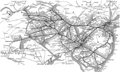
Reading Railroad System Map
Reading Railroad system map
161 miles away
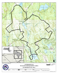
Hubbardston WMA Map
162 miles away
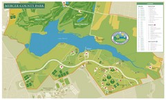
Mercer County Park Map
162 miles away
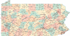
Pennsylvania Road Map
Pennsylvania detailed road map
163 miles away
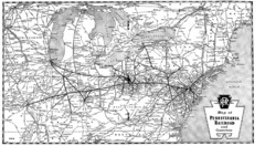
Pennsylvania Railroad System Map
Pennsylvania Railroad system map
163 miles away
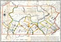
Pennsylvania Survey Map 1791
Survey Map 1791
163 miles away

Tyler State Park map
Detailed recreation map for Tyler State Park in Pennsylvania
163 miles away
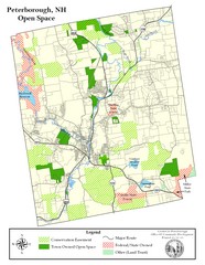
Peterborough Open Space Map
Map of open space lands in Peterborough, New Hampshire
163 miles away
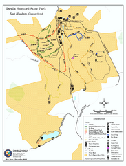
Devils Hophard State Park map
Trail and camprground map for Devils Hopyard State Park in Connecticut.
163 miles away
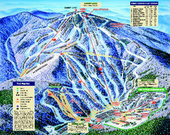
Mount Sunapee Ski Area Ski Trail Map
Trail map from Mount Sunapee Ski Area.
163 miles away
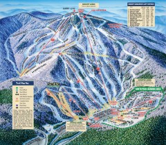
Mt. Sunapee Ski Trail Map
Official ski trail map of Mt. Sunapee ski area from the 2007-2008 season.
163 miles away
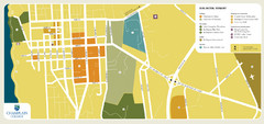
Burlington, Vermont City Tourist Map
The city of Burlington, Vermont
163 miles away
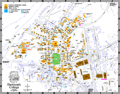
Dartmouth College campus map
Map of Dartmouth College. Shows all academic, administration, residential, and athletic buildings.
163 miles away
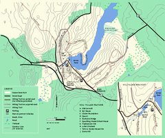
Moore State Park trail map
Trail map of Moore State Park in Massachusetts.
163 miles away
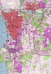
Burlington Vt 87 Map
Topographical map of the city of Burlington, Vt.
164 miles away
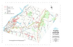
Hanover Trail Map
Recreation trails in Hanover
164 miles away
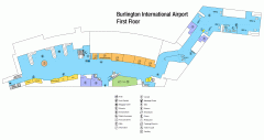
Burlington International Airport Terminal Map
Official Terminal Map of Burlington International Airport. All areas shown.
164 miles away
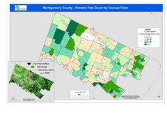
Montgomery County Tree Cover Map
Poster map of tree cover of Montgomery County, Pennsylvania
164 miles away
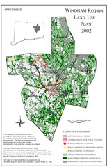
2002 Windham Region Land Use Map
Regional Land Use Guide Map for Planning Purposes
164 miles away
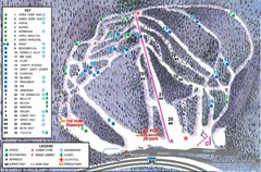
Whaleback Ski Trail Map
A Trail Map of Whaleback Ski Area
165 miles away
Mt. Watatic to Wachusett Mountain, Massachusetts...
165 miles away
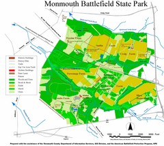
Monmouth Battlefield State Park Map
165 miles away

Kettle Creek State Park Map
Detailed map of Kettle Creek State Park in Pennsylvania.
165 miles away
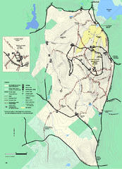
Wachusett Mountain State Reservation trail map
Trail map of Wachusett Mountain State Reservation in Massachusetts.
165 miles away
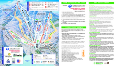
Wachusett Mountain Ski Trail Map
Trail map from Wachusett Mountain.
166 miles away
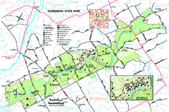
Evansburg State Park map
Detailed map of Evansburg State Park in Pennsylvania
166 miles away

Batawa Ski Trail Map
Trail map from Batawa, which provides downhill skiing. This ski area has its own website.
166 miles away
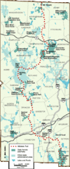
Midstate Trail Map
Map of the Midstate Trail, which runs from Ashburnham to the Rhode Island border. Shows state...
166 miles away

Map of Fire Island National Seashore
Official Map of Fire Island National Seashore in New York. Shows all towns and information.
166 miles away
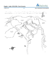
Eagle Lake Conservation Area Map
166 miles away
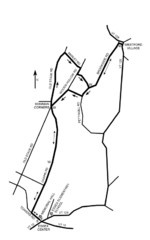
30K Race Course Map
Green Mountain Athletic Association Common to Common 30K Course Map in Essex Junction, VT
167 miles away
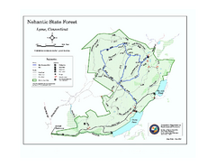
Nehantic State Forest map
Trail map of Nehantic State Forest in Connecticut.
167 miles away

