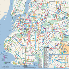
Brooklyn, New York Bus Map
Official MTA Bus Map of Brooklyn, New York. Shows all routes.
147 miles away
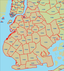
Brooklyn zip codes Map
147 miles away
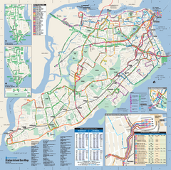
Staten Island Bus Map
Official Bus Map of Staten Island. Shows all routes.
147 miles away
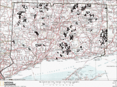
Connecticut State Forests Map
This is a map of all of the state forest boundaries in Connecticut. Follow the source web address...
147 miles away
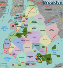
Brooklyn, Neighborhoods Map
147 miles away
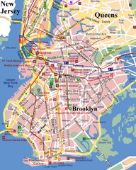
Brooklyn, Attractions Map
147 miles away

Ogdensburg, New York Historical Map
A wonderful highlight are the art reproductions of homes and buildings which surround the map...
148 miles away
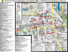
Huntington, New York Restaurant Map
148 miles away
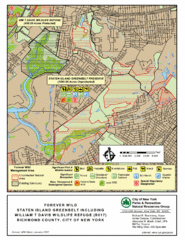
Staten Island Greenbelt Map
148 miles away
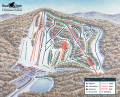
Bear Creek Ski & Recreation Area Ski Trail Map
Trail map from Bear Creek Ski & Recreation Area.
148 miles away
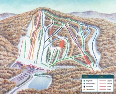
Bear Creek Ski Trail Map
Official ski trail map of Bear Creek ski area from the 2007-2008 season.
148 miles away
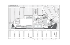
Brooklyn College Campus Map
Brooklyn College Campus Map. All buildings shown.
148 miles away
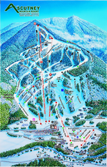
Ascutney Mountain Ski Trail Map 2006-07
Official ski trail map of Ascutney ski area from the 2006-2007 season.
148 miles away
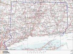
Connecticut State Parks Map
This is statewide map for Connecticut state parks. Go to the source website for detailed hiking...
148 miles away
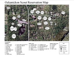
Camp Okanickon Scout Reservation Map
Location Map for Boy Scout Camp in Pennsylvania
148 miles away
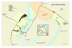
Ralph Stover State Park map
Detailed recreation map for Ralph Stover State Park in Pennsylvania
148 miles away
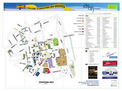
New Brunswick City Map
City map of New Brunswick, New Jersey with tourist information
148 miles away
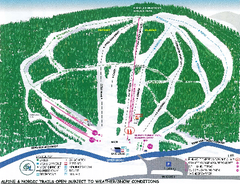
Granite Gorge Ski Trail Map
Trail map from Granite Gorge. This ski area opened in 2005.
149 miles away
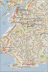
Brooklyn Attractions map
Map of attractions and points of interest in Brooklyn, New York.
149 miles away
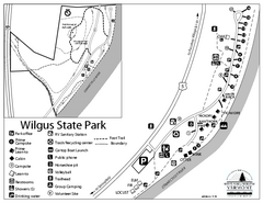
Wilgus State Park Campground Map
Campground map for Wilgus State Park in Vermont
149 miles away
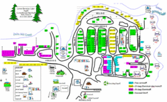
Lower Beverely Park Map
149 miles away
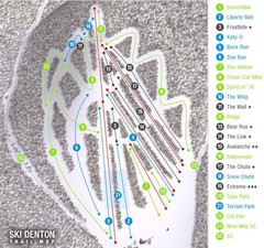
Ski Denton Ski Trail Map
Trail map from Ski Denton.
149 miles away
Ascutney State Park map
Campground map of Ascutney State Park in Vermont
149 miles away
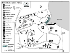
Silver Lake State Park Campground Map
Campground map of Silver Lake State Park in Vermont
150 miles away
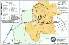
Gay City State Park trail map
Trail map of Gay City State Park in Connecticut.
150 miles away
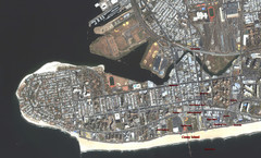
Coney Island Map
Aerial photo Coney Island map
151 miles away
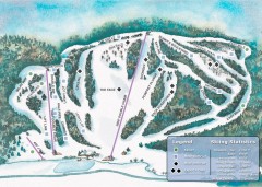
Suicide Six Ski Trail map
Ski trail map of Suicide Six ski area, owned by the Woodstock Inn in Woodstock, VT
151 miles away
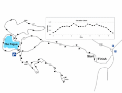
Mt. Tom road to the Pogue race course map
View Course Map and Elevations for the Mt. Tom road to the Pogue 6.1 mile run in Woodstock, VT.
151 miles away
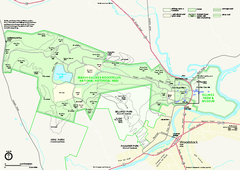
Marsh-Billings-Rockefeller National Historical...
Official NPS map of Marsh-Billings-Rockefeller National Historical Park in Vermont. Shows all areas...
151 miles away
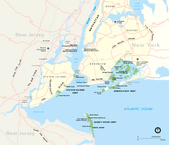
Gateway National Recreation Area Map
Park map of lands in the NPS Gateway National Recreation Area in New York and New Jersey. Shows...
151 miles away
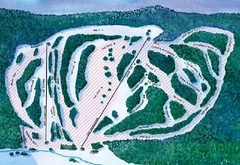
Suicide Six Ski Trail Map
Trail map from Suicide Six.
151 miles away
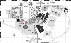
Nassau Community College Map
Campus Map
151 miles away

Ole Bull State Park Map
Detailed recreation map of Ole Bull State Park in Pennsylvania
151 miles away
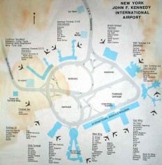
John F. Kennedy International Airport Map
Terminal and Road map of John F. Kennedy International Airport.
151 miles away
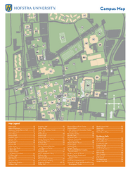
Hofstra University Campus Map
151 miles away
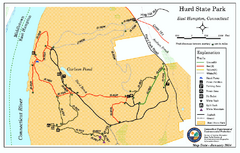
Hurd State Park trail map
Trail map for Hurd State Park in Connecticut.
152 miles away
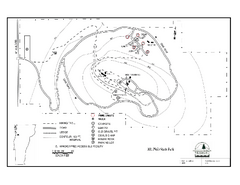
Mt. Philo State Park Campground Map
Campground map for Mt. Philo State Park in Vermont
152 miles away

R. B. Winter State Park map
Recreation map for R. B. Winter State Park in Pennsylvania
153 miles away
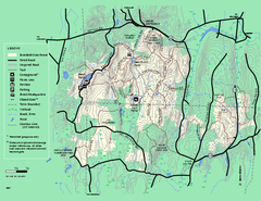
Brimfield State Forest trail map
Trail map of Brimfield State Forest in Massachusetts
154 miles away
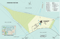
Hyner View State Park map
Detailed map of Hyner View State Park in Pennsylvania
154 miles away

