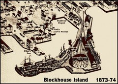
Blockhouse Island Map 1874
Bird’s Eye view map of Brockville created by artist Herman Brosius and the lithographers...
142 miles away
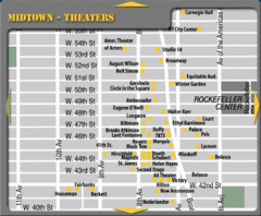
Broadway Theatre New York City Map
142 miles away
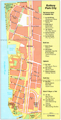
Battery Park City Map
City map of Battery Park City, an area of Manhattan, with art highlighted
142 miles away
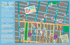
Deli Magazine's Lower East Side Music venues...
142 miles away

Manhattan Bus Map
142 miles away
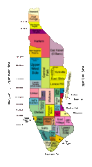
New York Neighborhoods Map
142 miles away
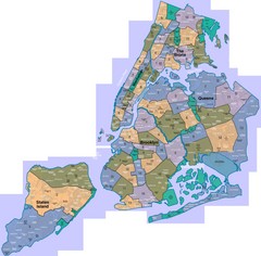
New York: A City of Neighborhoods Map
This is a map of NYC's Community Districts and neighborhoods. This map is pasted together from...
142 miles away

Sanitary & Topographical Map of the City and...
The 1865 Viele Map of Manhattan is still used today to locate springs and streams that have long...
142 miles away
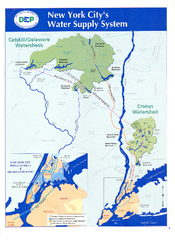
New York City's Water Supply System Map
Map of the reservoirs, aqueducts, and tunnels that supply water to NYC.
142 miles away
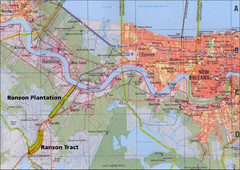
New Orleans Tourist Map
142 miles away
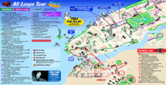
New York City Bus Tour Map
142 miles away

New York City Subway Map
142 miles away
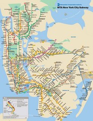
New York City Public Transportation Map
142 miles away
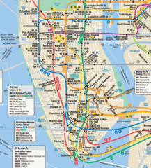
New York City Subway Map
142 miles away
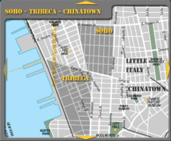
Chinatown New York City Tourist Map
142 miles away
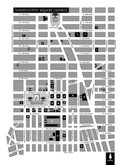
New York University Map
Campus map of New York University. All buildings included.
142 miles away
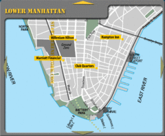
Lower Manhattan New York City Hotel Map
142 miles away
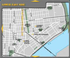
Lower Eastside New York City Tourist Map
142 miles away
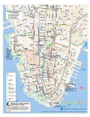
Lower Manhattan Public Transportation Map
Official MTA map of subway, bus, and ferry routes in Lower Manhattan.
142 miles away
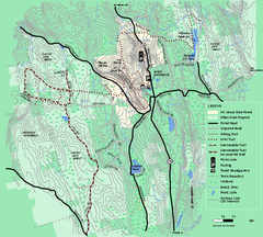
Mt. Grace State Forest trail map
Trail map of Mt. Grace State Forest near Warwick, Massachusetts.
142 miles away
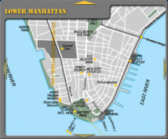
Lowe Manhattan New York City Tourist Map
142 miles away

Delaware Canal State Park map
Detailed map of Delaware Canal State Park in Pennsylvania. Long dimension.
142 miles away
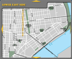
Lower Eastside New York City Hotel Map
142 miles away
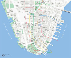
Lower Manhattan Map
142 miles away

Downtown Manhattan Tourist Map
Detailed tourist map of Downtown Manhattan showing points of interest and modes of transportation
142 miles away
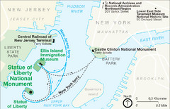
Statue of Liberty National Monument Map
Official NPS map of Statue of Liberty National Monument. Shows Statue of Liberty, Ellis Island, and...
142 miles away
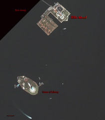
Ellis Island and Statue of Liberty Map
Aerial map of Ellis Island and the Statue of Liberty
142 miles away
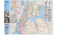
NYC Biking Route Map (Manhattan & Queens)
Official NYC biking map of Manhattan and Queens.
142 miles away
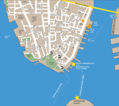
Lower Manhattan Area Map
142 miles away
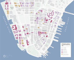
Lower Manhattan Map
142 miles away
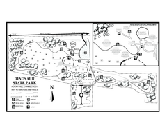
Dinosaur State Park map
Trail map of Dinosaur State Park in Connecticut.
142 miles away
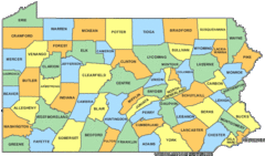
Pennsylvania Counties Map
143 miles away
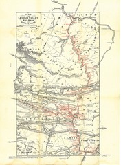
Lehigh Valley Railroad Historical Map
Built in 1846, this railroad was built primarily to haul coal. It was also known as the Route of...
143 miles away
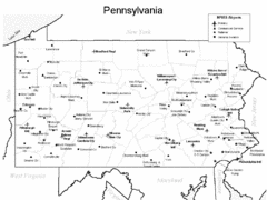
Pennsylvania Airports Map
143 miles away
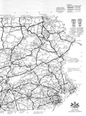
Eastern Pennsylvania Road Map
143 miles away
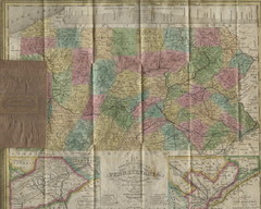
Pennsylvania Tourist Pocket Map
The map is dated 1820-31 by counties shown and comes from Anthony Finley's A New General Atlas...
143 miles away

Queens College Campus Map
3D map of Queens College campus. All buildings shown.
143 miles away
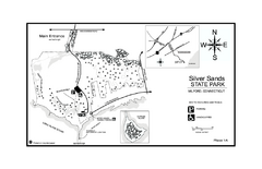
Silver Sands State Park map
Trail and campground map of Silver Sands State Park in Connecticut.
143 miles away
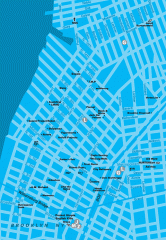
Williamsburg Art Gallery map
Map of Williamsburg and Greenpoint art galleries in Brooklyn, New York. Shows subway stops as well.
143 miles away
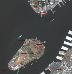
Governor's Island Map
Aerial photo view map of Governor's Island, New York
143 miles away

