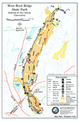
West Rock Ridge State Park map
Trail map of West Rock Ridge State Park in Connecticut.
140 miles away
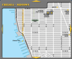
Chelsea Midtown New York City Map
140 miles away
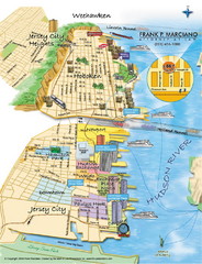
Jersey City, New Jersey City Map
Sketch of Jersey City and Hoboken, New Jersey
140 miles away
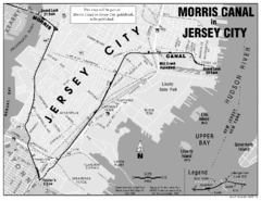
Jersey City Map
140 miles away
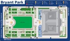
Map of Bryant Park
Map of Bryant Park in New York City
140 miles away
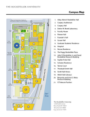
Rockefeller University Campus Map
Campus map of Rockefeller University in New York City.
140 miles away

Midtown East Side New York City Hotel Map
140 miles away
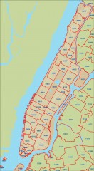
New York City zipcode map
Map of zipcodes in Manhattan and the outer boroughs of New York City.
140 miles away
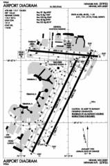
Newark Liberty International Airport Map
140 miles away

Milton State Park map
Detailed recreation map of Milton State Park in Pennsylvania
140 miles away
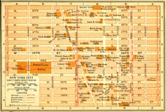
Antique map of Manhattan from 1916
"Thirty Fourth Street Section" from Rider's New York City, Henry Holt and Company...
140 miles away
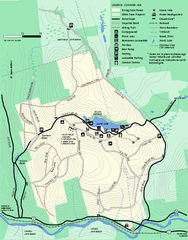
Erving Summer trail map
Summer use map of Erving State Park in Massachusetts.
140 miles away
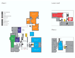
The Morgan Library Floor Plan, New York Map
The Morgan Library Floor Plan. Shows all floors and exhibits. Located at Madison Avenue and 36th...
140 miles away
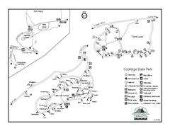
Coolidge State Park Campground Map
Campground map of Coolidge State Park in Vermont
140 miles away
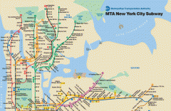
New York City Subway Map
Official MTA map of the NYC subway system... note not drawn to scale.
140 miles away
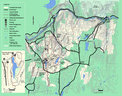
Wendell State Forest trail map
Trail map of Wendell State Forest in Massachusetts.
140 miles away
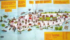
Manhattan Citysites Tour map
Map of the Citysites bus tour routes in Manhattan, New York.
140 miles away
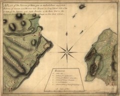
Oyster Bay and Huntington, Huntington Bay Map
A plan of the Narrows of Hells-gate in the East River, near which batteries of cannon and mortars...
140 miles away
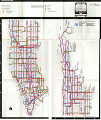
1974 Manhattan Bus Map
140 miles away
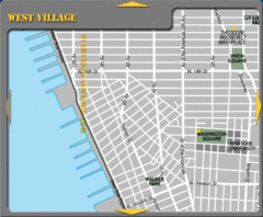
West Village New York City Tourist Map
140 miles away
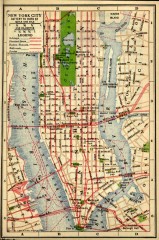
Antique map of Manhattan from 1916
"New York City Battery to 110th Street" from Rider's New York City, Henry Holt and...
140 miles away
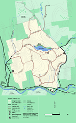
Erving State Park winter use map
Winter use map of the Erving State Park in Massachusetts
141 miles away
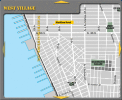
West Village New York City Hotel Map
141 miles away

Manhattan Neighborhood map
Excellent New York City neighborhood map created by graphic designer Alexander Cheek
141 miles away
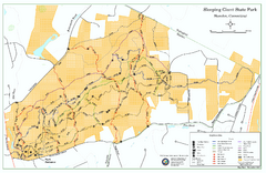
Sleeping Giant State Park map
Trail map for Sleeping Giant State Park in Connecticut.
141 miles away
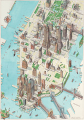
Manhattan New York Map
Aerial map of New York illustrated by UK illustrator Katherine Baxter.
141 miles away
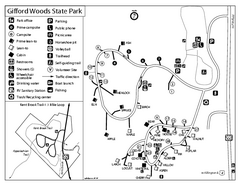
Gifford Woods State Park Campground Map
Campground map of Gifford Woods State Park in Vermont
141 miles away
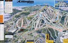
Killington Trail Map
Ski trail map
141 miles away
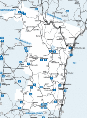
Windsor County Map
141 miles away
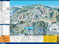
07-08 Killington Ski Trail Guide Map
Trail Map of Ski Area including lifts, runs and mountain elevation.
141 miles away
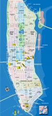
Manhattan Tourist Map
Tourist map of Manhattan, showing Museums, buildings of interest, and various neighborhoods.
141 miles away
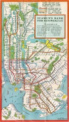
New York Subway Map, 1930
A New York City subway map from the 1930s
141 miles away
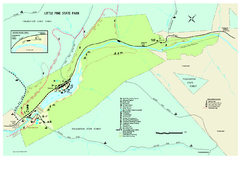
Little Pine State Park Map
Detailed recreation map for Little Pine State Park in Pennsylvania
141 miles away
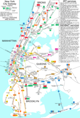
New York City Subway Map
Map of NYC subway transit system and stops
141 miles away

Battery Park City Map
141 miles away
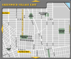
Greenhich Village New York City Hotel Map
141 miles away
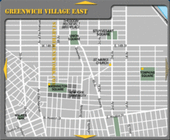
East Greenwich Village New York City Tourist Map
141 miles away
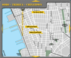
Chinatown New York City Hotel Map
141 miles away
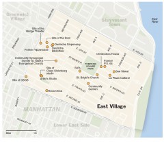
East Village walking tour map
Walking tour of the East Village in New York City, showing points of interest.
141 miles away
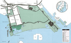
Liberty State Park Map
Map of Liberty State Park, New Jersey on the New York Harbor and next to Ellis Island. Shows...
141 miles away

