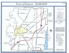
Geneseo Town Map
136 miles away
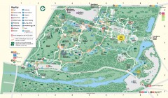
Bronx Zoo Map
Bronx Zoo. The Zoo is open 365 days a year. "Now through November 4, 2007, our hours are 10...
137 miles away

Broadway Elevation Map
Illustrative section of Broadway, from 125th Street to 134th Street, looking east
137 miles away
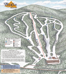
Bear Creek Mountain Club Ski Trail map
Official ski trail map of Bear Creek Mountain ski area.
137 miles away
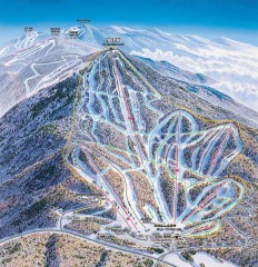
Pico Mountain Ski Trail Map
Ski trail map of Pico ski area, estimated 2002 map
137 miles away
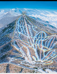
Pico Mountain Ski Trail Map
Trail map from Pico Mountain.
137 miles away
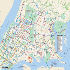
Bronx, New York Bus Map
Official MTA Bus Map of all of the Bronx, New York. Shows all routes.
137 miles away
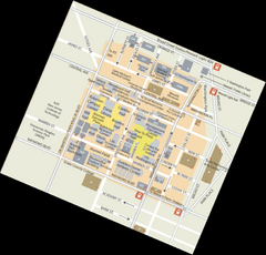
Rutgers University Map
137 miles away
Upper Riverside Park Map
Riverside Park Map, Visitor Information as well as streets, bus routes, places to jog and bike.
137 miles away
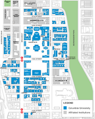
Columbia University Map
Campus map of Columbia University. All buildings shown.
137 miles away
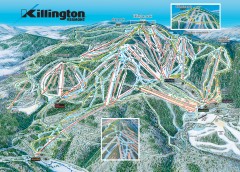
Killington Ski Trail Map
Official ski trail map of Killington ski area.
137 miles away
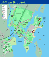
Pelham Bay Park NYC Map
Official detailed map of Pelham bay park, the largest park in New York City at 2,700 acres. Map...
137 miles away
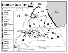
Branbury State Park map
Campground map of Branbury State Park in Vermont
137 miles away
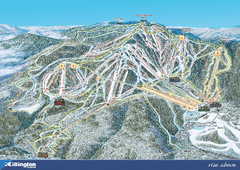
Killington Ski Trail Map 2008
Ski trail map of Killington ski area as of 2008
137 miles away
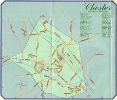
Chester Town Map
137 miles away

Killington Ski Trail Map
Guide to Killington area ski trails
137 miles away
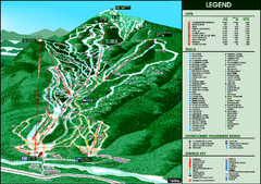
Whiteface Mountain—Lake Placid Ski Trail Map
Trail map from Whiteface Mountain—Lake Placid.
137 miles away
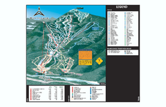
Whiteface Ski Trail Map
Official ski trail map of Whiteface 2006-2007 season.
137 miles away
Riverside Park Map
Map of Riverside Park, New York. Illustrates all recreational activities, trails, bus stops and...
138 miles away
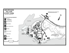
Sherwood Island State Park map
Trail and campground map of Sherwood Island State Park in Connecticut.
138 miles away
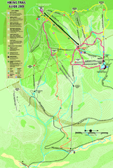
Killington Hiking Trail Map
Hiking trail map of Killington Ski Area summer trails. Shows life zones and geologic features.
138 miles away
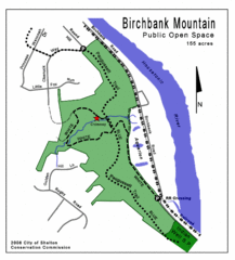
Birchbank Park Map
Several miles of moderately difficult trails along the Housatonic River bluff, including the...
138 miles away

Upper West Side Map
printable map of Upper West Side, with major landmarks noted
138 miles away

Upper West Side NYC Map 1879
Likely the first printed map of Manhattan's Upper West Side. Map is titled 'The West End...
138 miles away
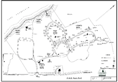
D.A.R. State Park map
Map of D.A.R. State park in Vermont
138 miles away
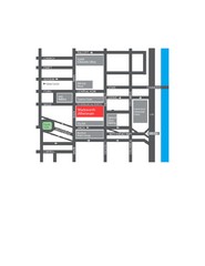
Wadsworth Athenium Museum Location Map
Wadsworth Athenium visitor location map with locations of major buildings, streets, parks, and...
138 miles away
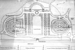
Central Park Conservatory Garden Map
Map of the Conservatory Garden in Central Park, New York City. Photo of outdoor map.
138 miles away
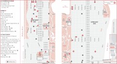
Uptown Manhattan, New York Map
Tourist map of uptown Manhattan in New York City, New York. Attractions, accommodations, and...
138 miles away
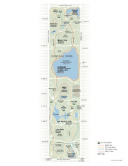
Central Park Fitness Map
Guide to fitness and training in Central Park, New York
139 miles away

Floor Plan of the Museum of Natural History, New...
Official Floor Plan of the Museum of Natural History in New York. All areas and exhibits shown.
139 miles away
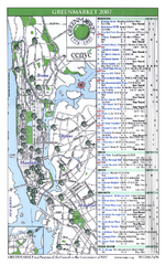
Green Markets in NYC Map
A map of all the green markets in the 5 boroughs of New York City.
139 miles away
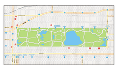
Central Park, New York Map
Central Park, New York map. A very detailed map with all roads, metro station and importand...
139 miles away
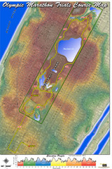
Olympic Trials Course Map
Elevation of the 2008 olympic trials marathon course in New York's Central Park.
139 miles away
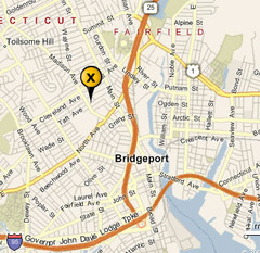
Bridgeport, Connecticut City Map
139 miles away
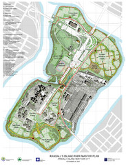
Randall's Island Park Map
Master plan for Randall's Island Park
139 miles away
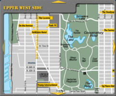
Upper West Side New York Hotel Map
139 miles away
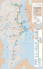
Hudson-Bergen Lightrail Map
Alternative transportation within the city.
139 miles away

City Island Street Map
Street map of City Island, New York
139 miles away

