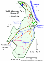
Webb Moutain Park Map
131 miles away
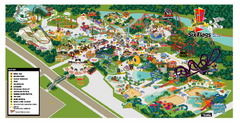
Six Flags New England Theme Park Map
Official Park Map of Six Flags New England in Massachusetts.
131 miles away
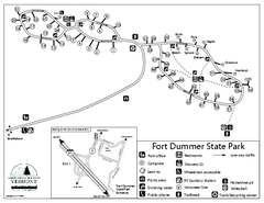
Fort Dummer State Park Campground Map
Campground map of Fort Dummer State Park in Vermont
132 miles away

Downtown Rochester, New York Map
Tourist map of downtown Rochester, New York. Various areas of interest, parking, and streets are...
132 miles away

Tuscarora State Park Map
Detailed recreation map for Tuscarora State Park in Pennsylvania
132 miles away

Rochester, New York City Map
132 miles away
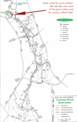
Loantaka Park Map
132 miles away
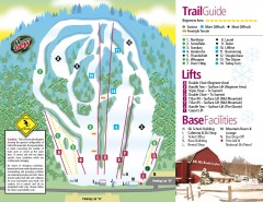
Mount Southington Ski Trail Map
Official ski trail map of Mount Southington ski area from the 2007-2008 season.
133 miles away
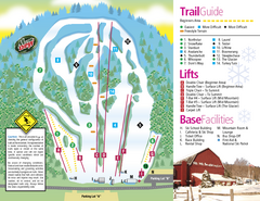
Mt. Southington Ski Area Ski Trail Map
Trail map from Mt. Southington Ski Area, which provides downhill, night, and terrain park skiing...
133 miles away
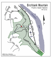
Birchbank Park Map
133 miles away
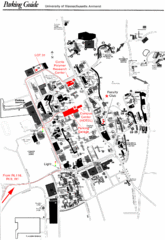
University of Massachusetts Amherst Parking Map
Map of the University of Massachusetts. Includes all buildings, streets, and parking information.
133 miles away
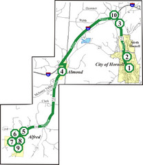
Alfred-Hornell Bus Route Map
133 miles away
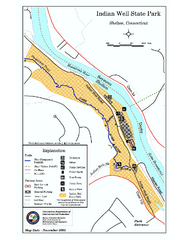
Indian Well State Park map
Trail map for Indian Well State Park in Connecticut.
134 miles away
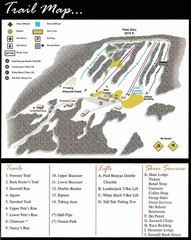
Ski Sawmill Ski Trail Map
Trail map from Ski Sawmill.
134 miles away
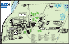
Rochester Institute of Technology Campus Map
Map of RIT campus.
134 miles away
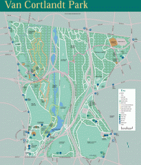
Van Cortlandt Park Trail Map
Trail map of Van Cortlandt Park in the Bronx. Covers 573 acres.
134 miles away
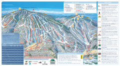
Okemo Ski Trail Map
Ski trail map of Okemo ski area. A James Niehues creation.
134 miles away
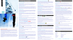
Okemo Mountain Resort Ski Trail Map
Trail map from Okemo Mountain Resort.
134 miles away
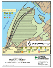
Inwood Hill Park Map
Park map of Inwood Hill Park in the Shorakapok Preserve, New York. 136 acres.
134 miles away
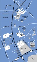
Downtown Amherst, Massachusetts Map
Tourist map of downtown Amherst, Massachusetts, showing attractions, government buildings, atms...
134 miles away
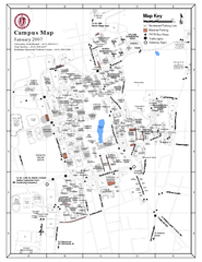
University of Massachusetts - Amherst Map
Campus Map of the University of Massachusetts - Amherst. All buildings shown.
134 miles away
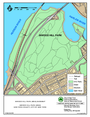
Inwood Hill Park Trail Map
Trail map of Inwood Hill Park located at the extreme northern tip of Manhattan. 136 acres.
134 miles away

Leonard Harrison State Park Map
Detailed map for Leonard Harrison State Park in Pennsylvania.
134 miles away
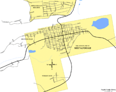
Shenandoah, Pennsylvania Map
134 miles away
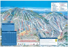
Okemo Mountain Resort ski trail map 2006-07
Official ski trail map of Okemo ski area for the 2006-2007 season. Slopes & Trails 624 acres...
134 miles away
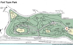
Fort Tyron Park Map
135 miles away
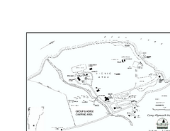
Camp Plymouth State Park map
Map of Camp Plymouth Park in Vermont.
135 miles away
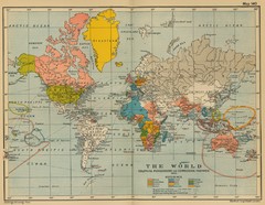
Colonial Posessions and Commercial Highways 1910...
Historical world map (1910) of various colonization and highway expansion
135 miles away
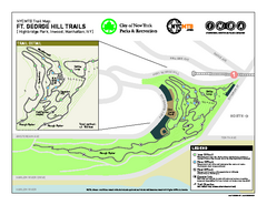
Highbridge Park mountain bike trail map
Mountain biking trail network opened in May 2007. Only mountain biking trails in Manhattan. 25...
135 miles away
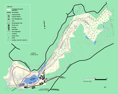
Chicopee State Park trail map
Chicopee State Park trail map
135 miles away

Locust Lake State Park map
Detailed map of Locust Lake State Park in Pennsylvania
135 miles away
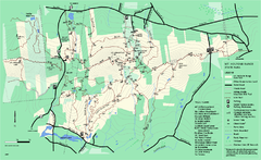
Mount Holyoke Range State Park Map
Trail map of Holyoke Range State Park.
135 miles away
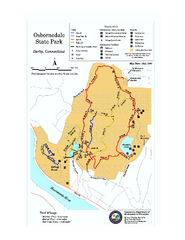
Osbornedale State Park map
Trail map of Osborndale State Park in Connecticut.
136 miles away
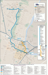
Newark Light Rail system Map
Newark Light rail system
136 miles away
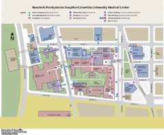
Columbia University Medical Center Map
136 miles away
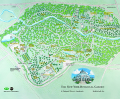
The New York Botanical Garden Map
Official Map of The New York Botanical Garden in New York. Shows all areas and different gardens.
136 miles away
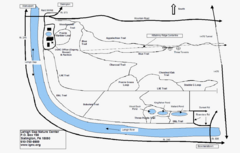
Trails Around Lehigh, PA Map
136 miles away
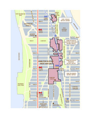
Hamilton Heights West Harlem Map
Hamilton Heights - West Harlem, New York City community map
136 miles away
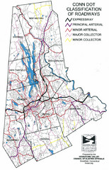
Connecticut Roadway Classification Map
136 miles away

