
Brantling Ski Slopes Ski Trail Map
Trail map from Brantling Ski Slopes.
106 miles away
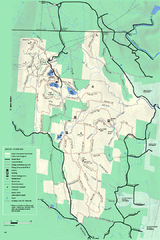
Savoy Mountain winter map
Winter use map of Savoy Mountain in Massachusetts.
106 miles away
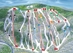
Jack Frost Ski Trail Map
Official ski trail map of Jack Frost ski area from the 2006-2007 season.
106 miles away
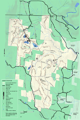
Savoy Mountail trail map
Trail map for Savoy Mountain in Massachusetts.
107 miles away
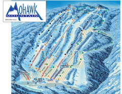
Mohawk Mountain Ski Trail Map
Ski trail map of Mohawk Mountain ski area
107 miles away
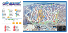
Camelback Ski Trail Map
Ski trail map of Camelback ski area
107 miles away
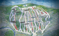
Jack Frost Ski Area Ski Trail Map
Trail map from Jack Frost Ski Area.
107 miles away

North Mohawk Mountain State Forest (Summer Trails...
Summer trail map of the North section of Mohawk Mountain State Forest in Connecticut.
107 miles away

North Mohawk Mountain State Forest (Winter Trails...
Winter trail map for North Mohawk Mountain State Forest in Connecticut.
107 miles away
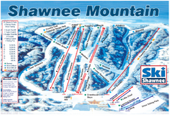
Shawnee Mountain Ski Trail Map
Trail map from Shawnee Mountain.
108 miles away

Big Pocono State Park map
Detailed map for Big Pocono State Park in Pennsylvania.
108 miles away
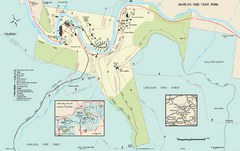
Worlds End State Park map
Detailed recreation map for Worlds End State Park in Pennsylvania
108 miles away
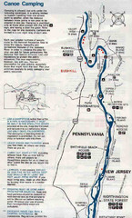
Deleware River Boat Map
108 miles away
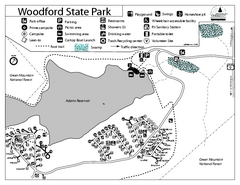
Woodford State Park Campground Map
Campground map for Woodford State Park in Vermont
108 miles away
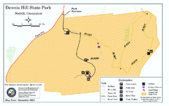
Dennis Hill State Park map
Trail map of Dennis Hill State Park in Connecticut.
108 miles away
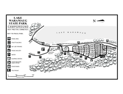
Lake Waramaug State Park campground map
Campground map of Lake Waramaug State Park.
109 miles away
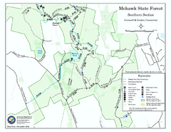
South Mohawk Mountain State Forest (Summer Trails...
Summer trails for South Mohawk State Forest in Connecticut.
109 miles away

South Mohawk Mountain State Forest (Winter Trails...
Winter trial map for the Southern Section of Mohawk Mountain State Forest in Connecticut.
109 miles away
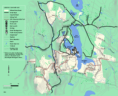
Tolland State Forest summer trail map
Summer use map for Tolland State Forest in Massachusetts.
109 miles away
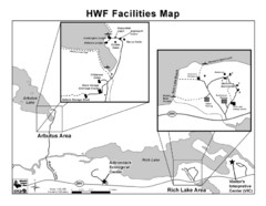
Adirondack Map
Map of Adirondack Park Reserve. Shows Rich Lake Area, Arbutus Area, and the location of the...
109 miles away
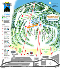
Thunder Ridge Ski Trail Map
Trail map from Thunder Ridge.
109 miles away
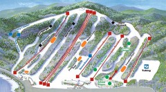
Big Boulder SKi Trail Map
Official ski trail map of Big Boulder ski area from the 2006-2007 season.
109 miles away
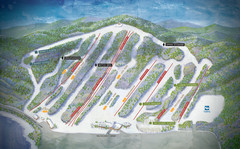
Big Boulder Ski Area Ski Trail Map
Trail map from Big Boulder Ski Area.
109 miles away
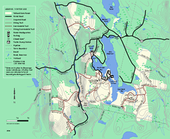
Tolland State Forest winter trail map
Winter usage trail map of the Tolland State Forest area in Massachusetts.
110 miles away
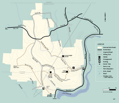
Monroe State Forest trail map
Trail map of Monroe State Forest in Massachusetts.
110 miles away
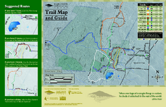
Equinox Preservation Trail map
Trail map of the Equinox Preservation Trust in Manchester, VT. The Equinox Preservation is over...
110 miles away
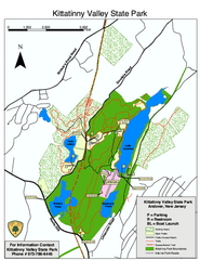
Kittatinny Valley State Park trail map
Trail map of Kittatinny Valley State Park in New Jersey. Shows hunting areas and trails.
110 miles away
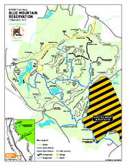
Blue Mountain Reservation Mountain Bike Trail Map
Mountain biking map of the Blue Mountain Reservation from the Westchester Mountain Biking...
111 miles away

Hickory Run State Park Map
Detailed map of Hickory Run State Park in Pennsylvania.
112 miles away
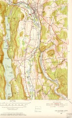
New Milford, Connecticut Map
New Milford, Connecticut topo map with roads, streets and buildings identified
112 miles away
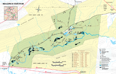
Nescopeck State Park map
Detailed recreation map of Nescopeck State Park in Pennsylvania.
113 miles away
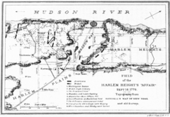
Harlem Hieghts Affair Map
Topography of the field during the battle on Sept 16 1776
113 miles away
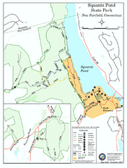
Squantz Pond State Park map
Trail and campground map for Squantz Pond State Park in Connecticut.
113 miles away
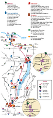
Canadaigua Wine Trail Map
Map of the Canadaigua Wine Map in Canadaigua, New York. Shows all wineries and vineyards in the...
113 miles away
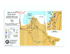
Mount Tom State Park trail map
Trail map of Mt. Tom State Park in Connecticut.
113 miles away
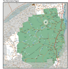
Adirondacks Lakes Map
Guide to lakes and waterways in the Adirondacks Park Preserve
114 miles away
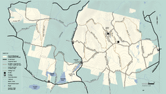
Kenneth Dubuque Memorial State Park trail map
Trail map of the Kenneth Dubuque state park conservation area in Massachusetts.
114 miles away
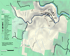
Mohawk Trail State Forest map
Map of the Mohawk Trail State Forest in Charlemont, Massachusetts.
115 miles away
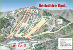
Berkshire East Ski Area Ski Trail Map
Trail map from Berkshire East Ski Area.
115 miles away
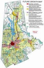
Danbury Regional Growth Map
Guide to future growth of Danbury, CT and surrounds
115 miles away

