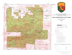
Latour State Forest Map
Countour map of the Latour Demonstration Forest.
87 miles away
California Delta Maps Map
FISH "N" MAP of the California Delta. Navigation Map with GPS Locations. Printed on...
87 miles away
California Delta Maps Map
The "BEST" Navigational Maps of the California Delta. Franko's California...
87 miles away
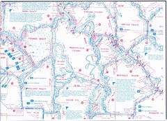
California Delta Maps/Fish "N" Map
The Delta including Suisun Bay, Sacramento & San Joaquin Rivers 10 Foot Underwater Depth...
87 miles away
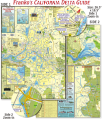
California Delta Maps Map
The "BEST" California Delta Boating, Navigation & Visitors Maps. Printed on Rip-Proof...
87 miles away
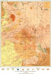
Lassen Peak District Geological Map
Geologic map of the Lassen Peak area in Lassen National Park, California. Shows sedimentary rock...
88 miles away
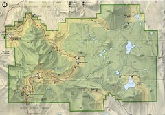
Lassen Volcanic National Park Map
89 miles away
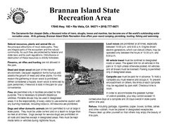
Brannan Island Campground Map
Map of park with detail of trails and recreation zones
90 miles away
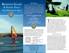
Brannan Island & Franks Tract State...
Map of park with detail of trails and recreation zones
90 miles away
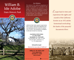
William B. Ide Adobe State Historic Park Map
Map of park with detail of trails and recreation zones
92 miles away
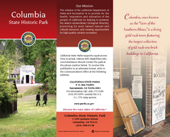
Columbia State Historic Park Map
Map of park with detail of trails and recreation zones
92 miles away
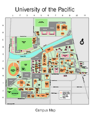
University of the Pacific Stockton Campus Map
Campus map of University of the Pacific, Stockton, California campus
92 miles away
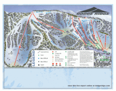
Dodge Ridge Ski Area Ski Trail Map
Trail map from Dodge Ridge Ski Area, which provides downhill, nordic, and terrain park skiing. It...
94 miles away
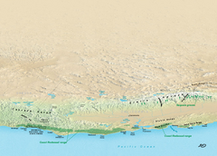
California Redwood Range Map
NPS prospective map of the coastal redwoord range in California, extending from Santa Cruz north to...
94 miles away
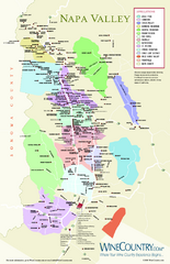
Napa Valley Wine Map
Wine map of Napa Valley, Napa, California. Shows all vineyards and shading by appellations from...
94 miles away
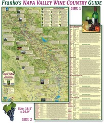
Napa Valley Wine Country Guide Map
Map of the Napa Valley Wine Country. With over 250 local Wineries listed. Printed on waterproof...
97 miles away

Geographic Subdivisions in California Map
97 miles away
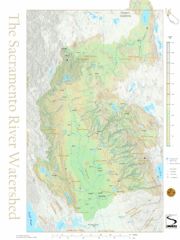
Sacramento River Watershed Map
The map shows, rivers, cities, counties, and roads surrounding the Sacramento River.
98 miles away
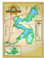
Lahontan State Recreation Area Map
Overview map of Lahontan State Recreation Area. Shows Lahontan Reservoir formed by Lahontan Dam...
98 miles away
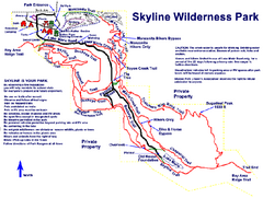
Skyline Wilderness Park Map
Trail map of Skyline Wilderness Park in Napa, California
98 miles away
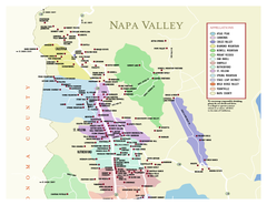
Napa County Wineries, California Map
Map of wineries in Napa County, California. Shows wineries and appellations.
99 miles away
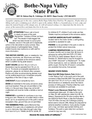
Bothe-Napa Valley State Park Map
Map of park with detail of of trails and recreation zones
99 miles away
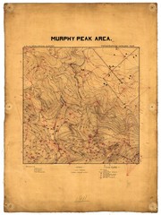
Murphy Peak Area Survey Map
Topographic geology map of Murphy Peak area, California. L.S.J.U. Geological Survey, 1911...
100 miles away
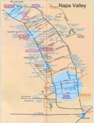
Napa Valley Tourist map
Tourist map of Napa Valley in California, showing wineries and museums in the area.
100 miles away
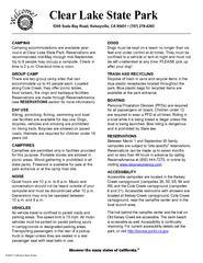
Clear Lake State Park Campground Map
Map of park with detail of trails and recreation zones
100 miles away
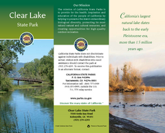
Clear Lake State Park Map
Map of park with detail of trails and recreation zones
100 miles away
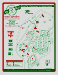
Jellystone Park at Glebrook Resort & Spa Map
101 miles away
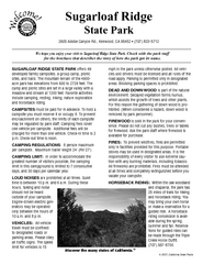
Sugarloaf Ridge State Park Campground Map
Map of park with detail of trails and recreation zones
101 miles away
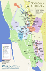
Sonoma Country Wine Map
Wine map of Sonoma, California area. Shows all vineyards.
101 miles away
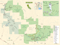
Sugarloaf Ridge State Park Map
Trail map of Sugarloaf Ridge State Park
102 miles away
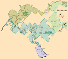
Hood Mountain Regional Park Map and Sugarloaf...
Park map of Hood Mountain Regional Park and Open Space Preserve and Sugarloaf Ridge State Park in...
102 miles away
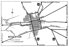
Stockton, California City Map
102 miles away
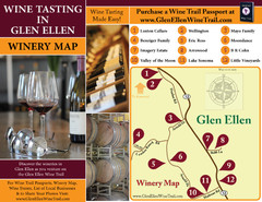
Glen Ellen Wine Tasting Map
104 miles away
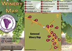
Kenwood Wine Tasting Map
104 miles away
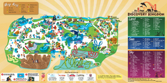
Six Flags Discovery Kingdom Park Map
Six Flags Discovery Kingdom theme park (formerly Marine World) in Vallejo, California. Experience...
105 miles away
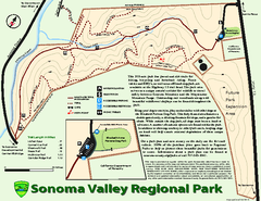
Sonoma Valley Regional Park Map
Trail map of 202 acre Sonoma Valley Regional Park.
105 miles away
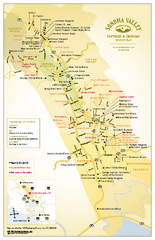
Sonoma Valley Winery Map
High quality map of Sonoma Valley wineries from the vinters and growers. Shows all key roads and...
106 miles away
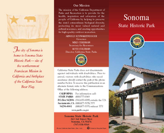
Sonoma State Historic Park Map
Map of park with detail of trails and recreation zones
106 miles away
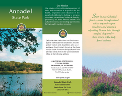
Annadel State Park Map
Map of park with detail of trails and recreation zones
107 miles away
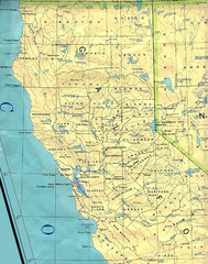
Northern California Map
Map of Northern California including cities, counties, and rivers
107 miles away

