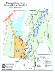
Nipmuck State Forest trail map
Trail map of Nipmuck State Forest and Bigelow Hollow State Park in Connecticut.
102 miles away
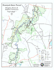
Trail map of Shenipsit State Forest
Trail map of Shenipsit State Forest in Connecticut.
102 miles away
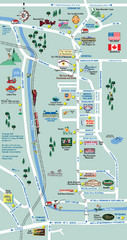
Mt. Washington Valley Restaurant Guide Map
Restaurants in Mt. Washington Valley, New Hampshire
103 miles away
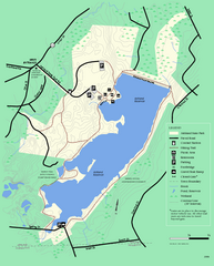
Ashland State Park Map
Clear map and legend marking trails, parking, facilities and more.
103 miles away
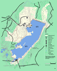
Ashland State Park Map
Map of Ashland State Park in Massachusetts.
103 miles away
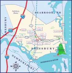
Salisbury Town Map
103 miles away
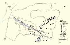
Purgatory Chasm State Reservation trail map
Trail map of Purgatory Chasm State Reservation in Massachusetts.
103 miles away
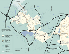
Willowdale State Forest map of Hood Pond
Trail map of the Hood Pond area of the Willowdale State Park in Massachusetts.
103 miles away
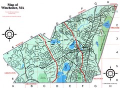
Winchester Town Map
103 miles away

Mine Brook Wildlife Management Area Map
104 miles away
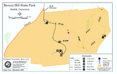
Dennis Hill State Park map
Trail map of Dennis Hill State Park in Connecticut.
104 miles away
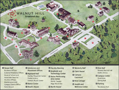
Walnut Hill School Map
Campus Map
104 miles away
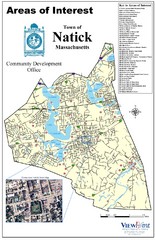
Natick Areas Of Interest Map
Shows points of interest in town of Natick, Massachusetts. Inset of downtown Natick.
105 miles away
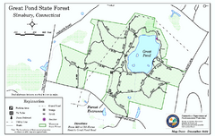
Great Pond State Park trail map
Trail map of Great Pond State Forest in Connecticut.
105 miles away
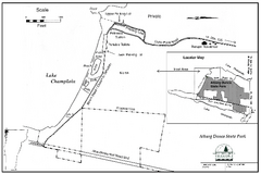
Alburg Dunes State Park map
Map of Alburg Dunes State Park in Vermont.
105 miles away
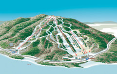
Shawnee Peak Ski Trail Map
Trail map from Shawnee Peak.
105 miles away
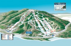
Shawnee Peak Ski Trail Map
Official ski trail map of Shawnee Peak ski area.
105 miles away
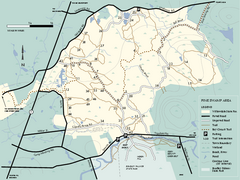
Willowdale State Forest map of Pine Swamp
Trail map of the Pine Swamp area of Willowdale State Park in Massachusetts.
105 miles away
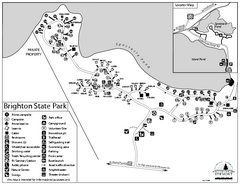
Brighton State Park map
Campground map of Brighton State Park in Vermont
105 miles away
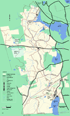
Douglas State Forest trail map
Trail map of the Douglas State Forest in Massachusetts
105 miles away
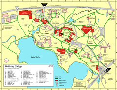
Wellesley College campus map
2008 Wellesley College campus map
105 miles away
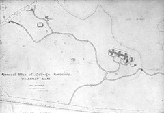
1870s Map of Wellesley College
General plan of college grounds, 1870s.
106 miles away
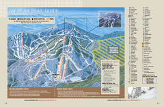
Jay Peak Ski Trail Guide Map
Official ski trail map of Jay Peak ski area from the 2006-207 season.
106 miles away
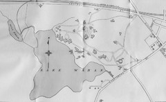
1899 Map of Wellesley College
After College Hall, the original site of Wellesley's faculty, students, classrooms, and...
106 miles away
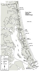
Parker River Map
Map of Parker River National Wildlife Refuge for birdlife
106 miles away
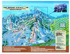
Jay Peak Ski Trail Map
Trail map from Jay Peak.
106 miles away
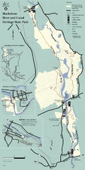
Heritage State Park Map
Clear state park map marking trails and facilities.
106 miles away
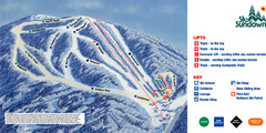
Ski Sundown Ski Trail Map
Trail map from Ski Sundown, which provides downhill and night skiing. It has 5 lifts servicing 15...
106 miles away
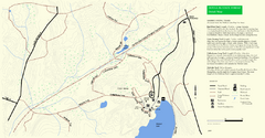
Douglas State Park Detail Map
106 miles away
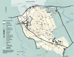
Bradley Palmer State Park summer map
Summer use map of Bradley Palmer State Park in Massachusetts
106 miles away
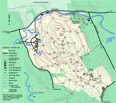
Bradley Palmer State Park winter map
Winter trail map of Bradley Palmer State Park.
106 miles away
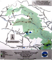
Northern Catskill Trail Map
Trail map shows hiking trails in the northern Catskills of New York. Shows trails in Windham High...
107 miles away
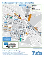
Medford Campus Map
Clear map indicating buildings and parking areas.
107 miles away
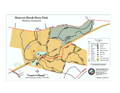
Stratton Brook State Park map
Trail map of Stratton Brook State Park in Connecticut.
107 miles away
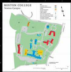
Boston College Newton Campus Map
campus map for Boston College Newton Campus
107 miles away
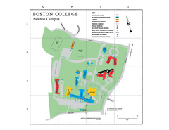
Boston College - Newton Campus Map
Boston College - Newton Campus Map. Shows all buildings.
107 miles away
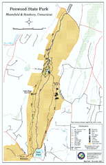
Penwood State Park map
Trail map of Penwood State Park in Connecticut.
107 miles away
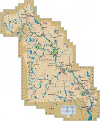
Blackstone Valley tourist map
Tourist map of the Blackston Valley in Rhode Island and Massachusetts. Shows hiking, biking, and...
108 miles away
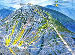
Sugarloaf Trail Map
Ski trail map of Sugarloaf mountain
108 miles away
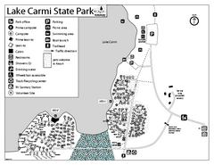
Lake Carmi State Park Campground Map
Capground of Lake Carmi State Park in Vermont
108 miles away

