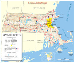
Massachusetts Road Map
97 miles away
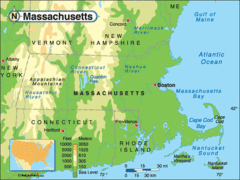
Massachusetts Rivers, Lakes, Mountains and...
97 miles away
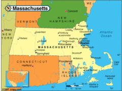
Massachusetts Cities Map
97 miles away
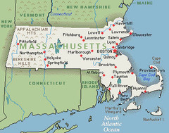
Massachusetts Cities and Mountains Map
97 miles away
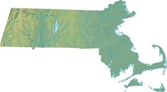
Maryland Relief Map
97 miles away
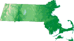
Massachusetts Elevations Map
97 miles away
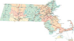
Massachusetts Road Map
97 miles away
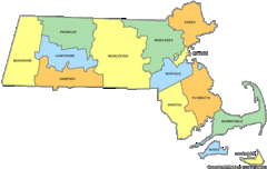
Massachusetts Counties Map
97 miles away
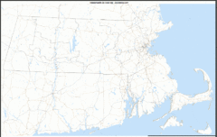
Massachusetts Zip Code Map
Check out this Zip code map and every other state and county zip code map zipcodeguy.com.
97 miles away
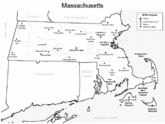
Massachusetts Airports Map
97 miles away
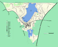
Walden Pond State Reservation trail map
Trail map of Walden Pond State Reservation
97 miles away
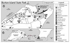
Burton Island State Park map
Campground map of Burton Island State Park in Vermont
97 miles away
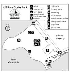
Kill Kare State Park map
Campground map of Kill Kare State park in Vermont
98 miles away
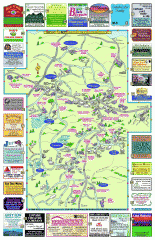
Columbia County - Boston Corners, Copake, Copake...
Tourist map of Columbia County, Mass. Includes towns of Boston Corners, Copake, Copake Falls...
98 miles away
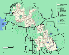
Callahan State Park trail map
Trail map of Callahan State Park in Massachusetts
98 miles away
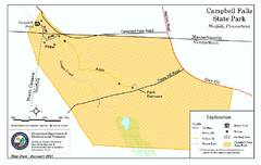
Cambell Falls State Park map
Trail map of Campbell Falls State Park Reserve in Connecticut
98 miles away
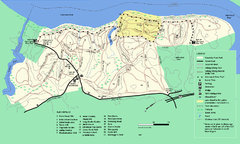
Maudslay State Park trail map
Trail Map of Maudslay State Park in Massachusetts.
99 miles away
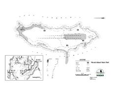
Woods Island State Park Campground Map
Campground map of Woods Island State Park in Vermont
99 miles away
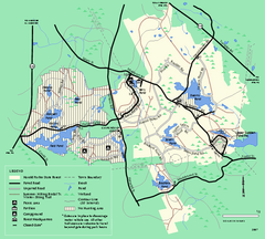
Harold Parker State Forest trail map
Trail map of Harold Parker State Forest in Massachusetts
99 miles away
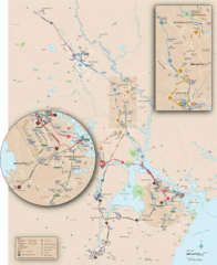
New Hampshire Transit Map
Guide to COAST and Wildcat Transit lines in New Hampshire
100 miles away
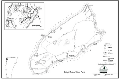
Knight Island State Park Campground Map
Map of Knight Island State Park in Vermont
100 miles away
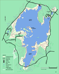
Whitehall State Park trail map
Trail map of Whitehall State Park in Massachusetts.
100 miles away
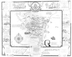
Hampton, New Hampshire Historical Map
Historical map of Hampton, New Hampshire. Illustrated map includes roads and historical buildings.
101 miles away
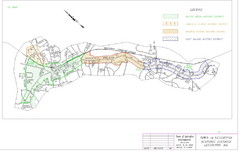
Town of Lexington Historic Districts Map
Identifies the 4 historical districts of Lexington, Massachusetts.
101 miles away
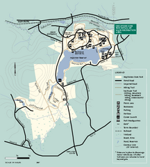
Hopkinton State Park trail map
Trail map of Hopkinton State Park in Massachusetts
101 miles away
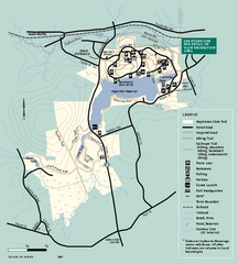
Hopkinton State Park trail map
Trail map of Hopkinton State Park in Massachusetts
101 miles away
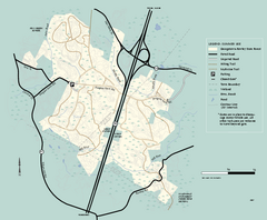
Georgetown-Rowley State Forest summer use map
Summer use map for Georgetown-Rowley State Forest.
101 miles away
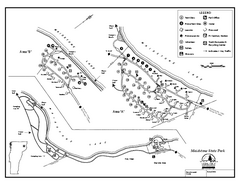
Maidstone State Park Campground Map
Campground map of Maidstone Lake State Park in Campground
101 miles away
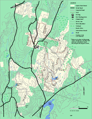
Upton State Forest trail map
Trail map for Upton State Forest in Massachusetts.
101 miles away
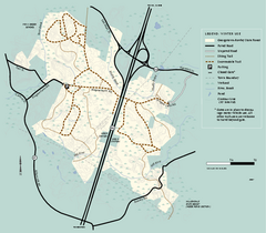
Georgetown-Rowley State Forest winter use map
Winter use map for the Georgetown-Rowley State Forest in Massachusetts.
101 miles away
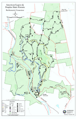
American Legion State Forest trail map
Trail map of American Legion and Peoples State Forests in Connecticut.
101 miles away
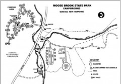
Moose Brook State Park map
Campground map of Moose Brook State Park in New Hampshire.
101 miles away
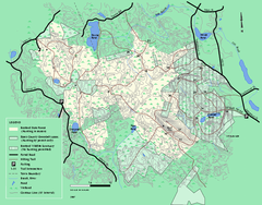
Boxford State Park trail map
Trail map of Boxford State Forest in Massachusetts
102 miles away
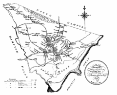
Hampton NH Map 1806
1806 map of Hampton, NH. Shows roads and settlements.
102 miles away
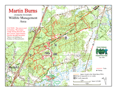
Downfall/Martin Burns WMA Map
102 miles away
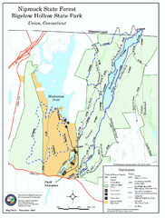
Bigelow Hollow State Park trail map
Trail map of Bigelow Hollow State Park in Connecticut.
102 miles away
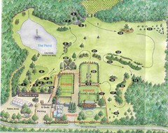
Newbury Perrenial Gardens Guide Map
102 miles away
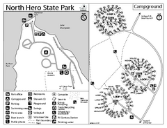
North Hero State Park Campground Map
Campground map of North Hero in Vermont
102 miles away
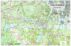
Ashland, MA - Topo Map
Map is provided by the town of Ashland, MA. See town's website for additional maps and...
102 miles away

