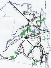
Nashua Parks Map
Map of Nashua, New Hampshire parks
78 miles away
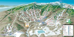
Stowe ski trail map 2006-07
Complete ski trail map of Stowe Mountain resort for 2006-2007 season.
78 miles away
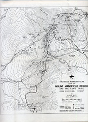
Mount Mansfield Map
Long Trail map for Green Mountains in Vermont
78 miles away
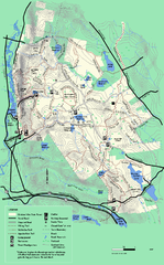
October Mountain State Forest trail map
Trail map of October Mountain State Forest in Massachusetts.
79 miles away
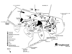
Tanglewood Map
Detailed map of the Tanglewood grounds that includes the location of the Box Office, Friends Office...
79 miles away
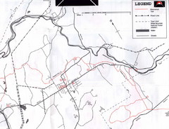
Bethlehem NH Snowmobile Trail Map
Snowmobile trail map of the Bethlehem, NH area along the Ammonoosuc River. Mount Agassiz Trail...
79 miles away
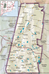
Berkshires Map
Overview map of the Berkshires region of Western Massachusetts
79 miles away
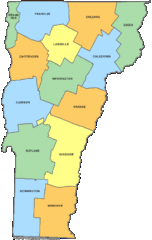
Vermont Counties Map
80 miles away
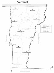
Vermont Airports Map
80 miles away
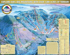
Smugglers' Notch Ski Trail map 2006-07
Official ski trail map of Smugglers' Notch (Smuggs) ski area from the 2006-2007 season.
80 miles away
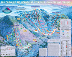
Smugglers’ Notch Resort Ski Trail Map
Trail map from Smugglers’ Notch Resort.
80 miles away
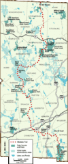
Midstate Trail Map
Map of the Midstate Trail, which runs from Ashburnham to the Rhode Island border. Shows state...
82 miles away
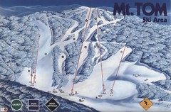
Mount Tom Ski Trail Map
Trail map from Mount Tom, which provides downhill skiing. This ski area opened in 1962.
83 miles away
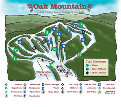
Oak Mountain Ski Center Ski Trail Map
Trail map from Oak Mountain Ski Center.
83 miles away
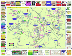
Columbia County - Austerlitz, Canaan, Chatham...
Tourist map of Columbia County including towns of Austerlitz, Canaan, Chatham, East Chatham Ghent...
83 miles away
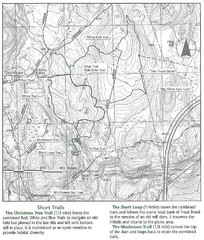
Trout Brook Conservation Area Map
83 miles away
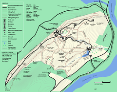
Mt. Tom State Reservation trail map
Trail map of Mt. Tom State Reservation
84 miles away
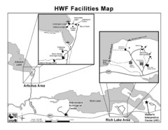
Adirondack Map
Map of Adirondack Park Reserve. Shows Rich Lake Area, Arbutus Area, and the location of the...
84 miles away
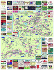
South County Berkshires map
Tourist map of Great Barrington, Housatonic, Sheffield, S. Egremont, N. Egremont Lenox, Stockbridge...
84 miles away
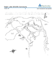
Eagle Lake Conservation Area Map
84 miles away
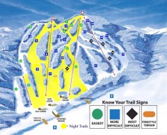
Blandford Ski Trail Map
Official ski trail map of Blandford ski area
85 miles away
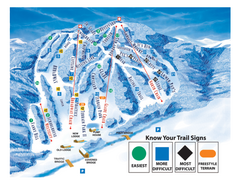
Blandford Ski Area Ski Trail Map
Trail map from Blandford Ski Area.
85 miles away
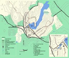
Moore State Park trail map
Trail map of Moore State Park in Massachusetts.
85 miles away
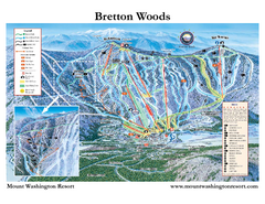
Bretton Woods Ski Area Ski Trail Map
Trail map from Bretton Woods Ski Area.
86 miles away
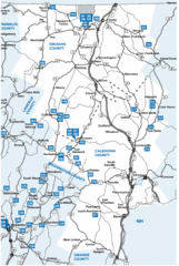
Caledonia County Map
86 miles away
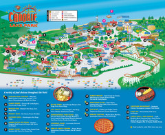
Canobie Lake Park Map
86 miles away
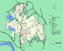
Lowell-Dracut-Tyngsboro State Forest trail map
Trail map for the Lowell-Dracut-Tyngsboro State Forest in Massachusetts
86 miles away
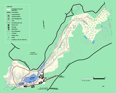
Chicopee State Park trail map
Chicopee State Park trail map
86 miles away
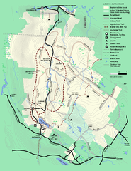
Beartown State Park Summer Map
Summer Map of Beartown State Park in Massachusetts.
86 miles away
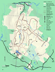
Beartown State Park Winter Map
Winter use map of Beartown State Park in Massachusetts
87 miles away
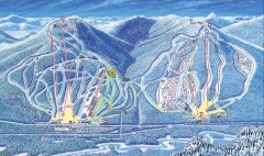
Attitash Bear Peak Ski Trail Map
Official ski trail map of Attitash and Bear Peak ski area from the 2006-2007 season.
87 miles away
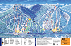
Attitash Ski Trail Map
Trail map from Attitash, which provides downhill skiing.
87 miles away
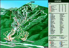
Whiteface Mountain—Lake Placid Ski Trail Map
Trail map from Whiteface Mountain—Lake Placid.
87 miles away
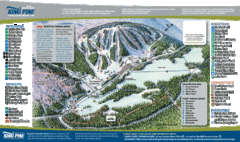
King Pine Ski Area Ski Trail Map
Trail map from King Pine Ski Area.
88 miles away
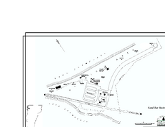
Sand Bar State Park Map
Campground map of Sand Bar State Park in Vermont
88 miles away
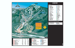
Whiteface Ski Trail Map
Official ski trail map of Whiteface 2006-2007 season.
88 miles away
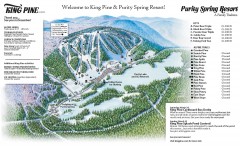
King Pine Ski trail Map
Official ski trail map of King Pine ski area from the 2006-2007 season.
88 miles away
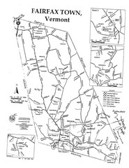
Fairfax Town Map
88 miles away
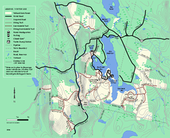
Tolland State Forest winter trail map
Winter usage trail map of the Tolland State Forest area in Massachusetts.
88 miles away
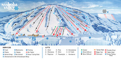
Nashoba Valley Ski Area Ski Trail Map
Trail map from Nashoba Valley Ski Area.
88 miles away

