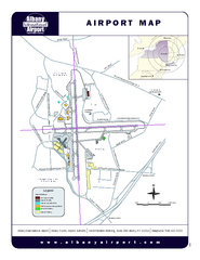
Albany International Airport Map
Official Map of the Albany International Airport in New York. Shows all terminals.
71 miles away
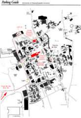
University of Massachusetts Amherst Parking Map
Map of the University of Massachusetts. Includes all buildings, streets, and parking information.
72 miles away
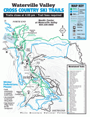
Waterville Valley Nordic Trail Map
Official nordic trail map. Over 70 kilometers (40 + miles) of groomed trails.
72 miles away
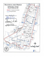
Pittsfield,, Massachusetts City Map
72 miles away
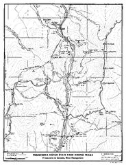
Franconia Notch Hiking Map
Map of hiking trails around Fanconia Notch State Park New Hampshire.
72 miles away
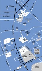
Downtown Amherst, Massachusetts Map
Tourist map of downtown Amherst, Massachusetts, showing attractions, government buildings, atms...
72 miles away
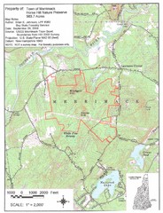
Merrimack Topo Map
A Topographical map Horse Hill Nature Preserve.
72 miles away
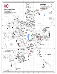
University of Massachusetts - Amherst Map
Campus Map of the University of Massachusetts - Amherst. All buildings shown.
73 miles away
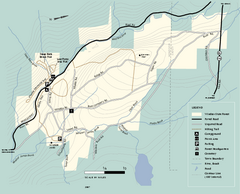
Windsor State Forest trail map
Trail map of Windsor State Forest in Massachusetts.
73 miles away
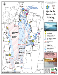
Quabbin Reservoir Fishing Map
Fishing access map of Quabbin Reservoir. Shows all ponds and submerged ponds.
73 miles away
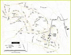
Trapp Ski Center Trail Map
Map of trails in the ski center at the Trapp Family Lodge
73 miles away
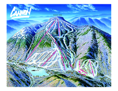
Cannon Mountain Ski Trail map
Ski trail map of Cannon ski area.
73 miles away
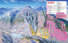
Cannon Mountain Ski Trail Map
Trail map from Cannon Mountain.
73 miles away
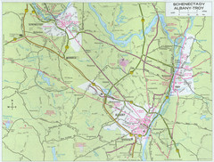
Albany, New York City Map
74 miles away
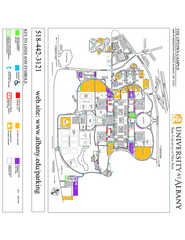
University at Albany Map
Campus Map of the University at Albany. All buildings shown.
74 miles away
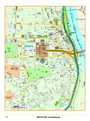
Albany downtown map
Road map of downtown Albany, NY. Shows city parks and New York State government buildings.
74 miles away
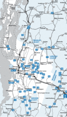
Chittenden County Map
74 miles away
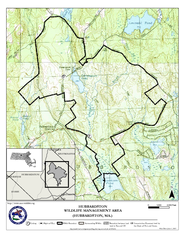
Hubbardston WMA Map
74 miles away
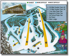
Bousquet Ski Area Ski Trail Map
Trail map from Bousquet Ski Area.
74 miles away
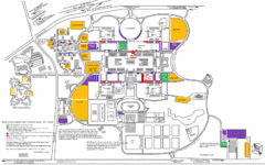
New York State University Uptown Campus Map
Map of the NYS University Campus, including all buildings, streets, and Visitors Parking...
75 miles away
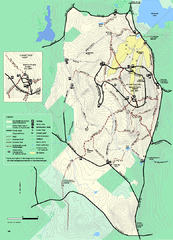
Wachusett Mountain State Reservation trail map
Trail map of Wachusett Mountain State Reservation in Massachusetts.
76 miles away
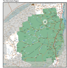
Adirondacks Lakes Map
Guide to lakes and waterways in the Adirondacks Park Preserve
76 miles away
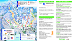
Wachusett Mountain Ski Trail Map
Trail map from Wachusett Mountain.
76 miles away
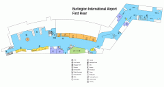
Burlington International Airport Terminal Map
Official Terminal Map of Burlington International Airport. All areas shown.
76 miles away
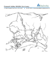
Pleasant Valley Wildlife Sanctuary Trail Map
Trail map of Pleasant Valley Wildlife Sanctuary
76 miles away
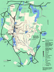
Leominster State Forest trail map
Trail map of Leominster State Forest in Massachusetts
77 miles away
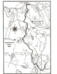
Monoosnoc Trail Map
77 miles away
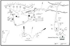
Underhill State Park Campground Map
Campground map for Underhill State Park in Vermont.
77 miles away
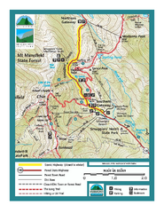
Smugglers Notch Trail Map
Trail map for Smugglers Notch State Park in Vermont
77 miles away
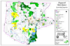
Pepperell Conservation Land and Open Spaces Map
Map showing conservation land and open spaces in Pepperell, MA.
77 miles away
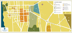
Burlington, Vermont City Tourist Map
The city of Burlington, Vermont
77 miles away
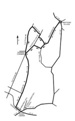
30K Race Course Map
Green Mountain Athletic Association Common to Common 30K Course Map in Essex Junction, VT
77 miles away
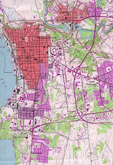
Burlington Vt 87 Map
Topographical map of the city of Burlington, Vt.
77 miles away
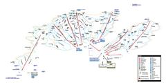
Stowe Mountain Resort Ski Trail Map
Trail map from Stowe Mountain Resort, which provides downhill, nordic, and terrain park skiing. It...
78 miles away
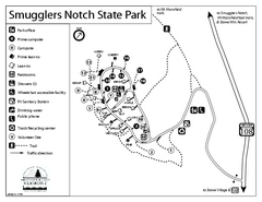
Smugglers Notch State Park Campground Map
Campground map of Smugglers Notch State Park in Vermont
78 miles away
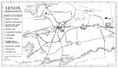
Lenox Town Map
Hand-drawn town map of Lenox, Mass. Bordered by Lenox Mountain and October Mountain. Shows points...
78 miles away
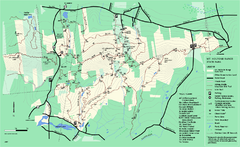
Mount Holyoke Range State Park Map
Trail map of Holyoke Range State Park.
78 miles away
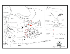
Elmore State Park map
Campground map of Elmore State Park in Vermont
78 miles away
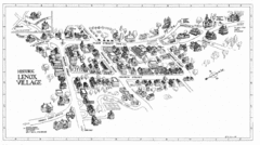
Lenox Village Map
Hand-drawn village map of historic center of Lenox, Massachusetts
78 miles away

