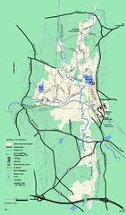
Otter River State Forest winter trail map
Winter usage trail map for Otter River State Park in Massachusetts.
63 miles away
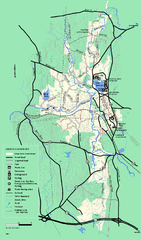
Otter River State Forest summer trail map
Summer trail map of the Otter River State Forest area in Massachusetts.
63 miles away
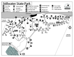
Stillwater State Park Campground Map
Campground map for Stillwater State Park in Vermont
63 miles away
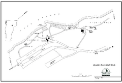
Boulder Beach State Park map
Map of Boulder Beach State Park on Lake Groton in Vermont.
64 miles away
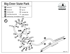
Big Deer State Park map
Campground map for Big Dear State Park in Vermont
64 miles away
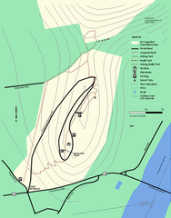
Mt. Sugarloaf State Reservation trail map
Trail map of Mount Sugarloaf State Reservation
65 miles away
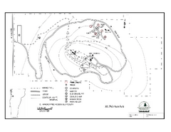
Mt. Philo State Park Campground Map
Campground map for Mt. Philo State Park in Vermont
65 miles away
Mt. Watatic to Wachusett Mountain, Massachusetts...
65 miles away
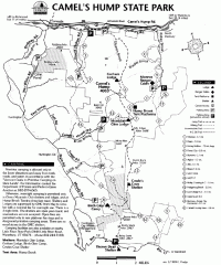
Camel's Hump State Park map
Map of Camel's Hump State Park, Vermont. Shows all hiking, snowmobile, and X-C ski trails...
65 miles away
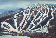
Brodie Ski Trail Map
Trail map from Brodie.
66 miles away
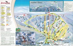
Jiminy Peak Ski Trail Map
Official ski trail map of Jiminy Peak ski area from the 2007-2008 season.
66 miles away
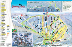
Jiminy Peak Resort Ski Trail Map
Trail map from Jiminy Peak Resort.
66 miles away
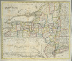
1831 Antique New York State map
The tourist's map of the state of New York : compiled from the latest authorities in the...
66 miles away
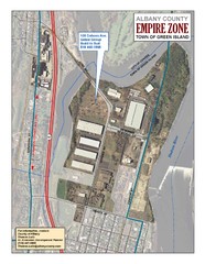
Green Island Map
Aerial town map of Green Island, New York on the Hudson River
67 miles away
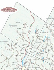
Worcester Town Map
Town map of Worcester, Vermont and surrounding areas
67 miles away
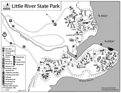
Little River State Park Campground Map
Campground map of Little River State Park in Vermont
67 miles away
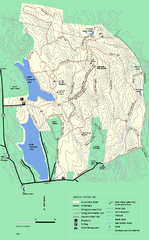
DAR State Forest winter map
Winter use map of the Daughters of the American Revolution State Forest.
67 miles away
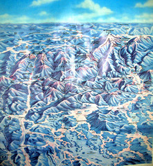
White Mountains New Hampshire Map
Old bird's eye view map of the White Mountain region of New Hampshire by Frank Thomas. Date of...
68 miles away
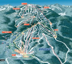
Gore Mountain Ski Trail Map
Official ski trail map of Gore Mountain ski area from the 2007-2008 season.
68 miles away
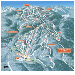
Gore Mountain Ski Trail Map
Trail map from Gore Mountain.
68 miles away
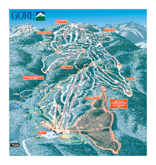
Gore Mountain Ski Trail Map
Trail map from Gore Mountain.
68 miles away
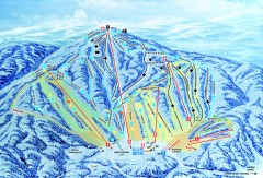
Gunstock Ski Trail Map
Ski trail map of Gunstock Mountain ski area
68 miles away
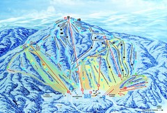
Gunstock Ski Area Ski Trail Map
Trail map from Gunstock Ski Area.
68 miles away
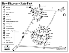
New Discovery State Park Campground Map
Campground map of New Discovery State Park in Vermont, including nearby Kettle Pond
69 miles away
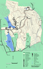
DAR State Forest summer map
Summer use map of the Daughters of the American Revolution state forest.
70 miles away
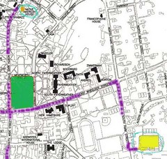
Manchester, New Hampshire City Map
70 miles away
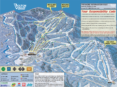
Bolton Valley Resort ski trail map
Official ski trail map of Bolton Valley ski area from the 2005-2006 season.
70 miles away
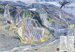
Loon Mountain Ski Trail Map
Official ski trail map of Loon Mountain ski area from the 2007-2008 season.
70 miles away
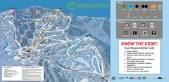
Bolton Valley Resort Ski Trail Map
Trail map from Bolton Valley Resort.
70 miles away
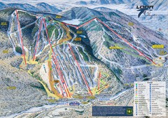
Loon Mountain Ski Trail Map
Trail map from Loon Mountain.
70 miles away
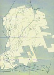
Bear Brook Trails Map
Bear Brook Park Trails and Park map in New Hampshire
70 miles away
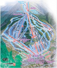
Waterville Valley Ski Trail Map
Official ski trail map of Waterville Valley ski area
70 miles away
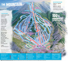
Waterville Valley Ski Trail Map
Trail map from Waterville Valley.
70 miles away
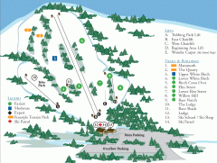
McIntyre Ski Trail Map
Official ski trail map of McIntyre ski area.
70 miles away
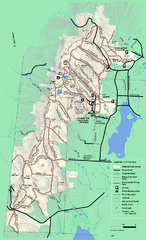
Pittsfield State Forest winter trail map
Winter use trail map of Pittsfield State Forest in Massachusetts.
71 miles away
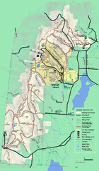
Pittsfield State Forest summer trail map
Summer use trail map of Pittsfield State Forest in Massachusetts.
71 miles away
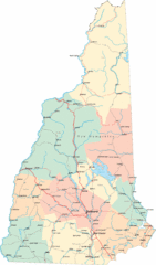
New Hampshire Road Map
Road map of New Hampshire
71 miles away
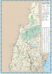
New Hampshire Boating and Fishing Public Access...
Shows public access boating and fishing sites and depth maps for state of New Hampshire
71 miles away
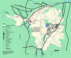
Willard Brook State Forest trail map
Trail map of Willard Brook State Forest in Massachusetts.
71 miles away
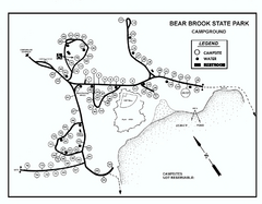
Bear Brook State Park Campground map
Campground map of Bear Brook State Park in New Hampshire
71 miles away

