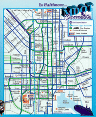
Baltimore, Maryland City Map
349 miles away
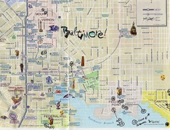
Baltimore Tourist Map
349 miles away
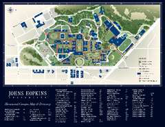
The Johns Hopkins University Map
The Johns Hopkins University Campus Map. All buildings shown.
349 miles away
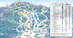
Mont Edouard Ski Trail Map
Trail map from Mont Edouard, which provides downhill skiing. This ski area has its own website.
349 miles away
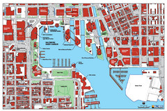
Baltimore Harbor Map
Guide to Baltimore, Maryland harbor
349 miles away
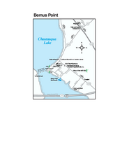
Bemus Point Map
Tourist map of Bemus Point, NY. Shows lodging, parks, shops, restaurants, and other points of...
349 miles away
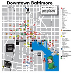
Downtown Baltimore Tourist Map
Map of Food, Hotels and Major Attractions surrouding the Baltimore Convention Center in Baltimore...
350 miles away

Canoe Creek State Park map
Detailed recreation map for Canoe Creek State Park in Pennsylvania
350 miles away
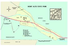
Mont Alto State Park Map
Detailed recreation map for Mont Alto State Park in Pennsylvania
351 miles away

Trough Creek State Park map
Detailed recreation map for Trough Creek State Park in Pennsylvania
351 miles away
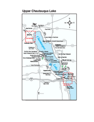
Upper Chautauqua Lake Map
Tourist map of upper Chautauqua Lake, New York. Shops, lodging, and other points of interest in the...
351 miles away
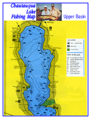
North Chautauqua Lake Fishing Map
Fishing map of northern Chautauqua Lake, New York. Shows marinas, boat ramps, state parks, and...
351 miles away
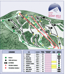
Mont-Bélu Ski Trail Map
Trail map from Mont-Bélu.
352 miles away
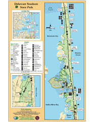
Deleware Seashore State Park Map
Park with perfect views and hiking routes.
352 miles away
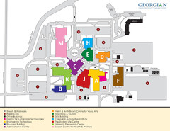
Georgian College Map
353 miles away
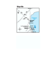
Downtown Mayville Map
Tourist map of Downtown Mayville, New York. Shows museums, restaurants, shops, government buildings...
353 miles away

Prince Gallitzin State Park Map
Detailed Recreation map of Prince Gallitzin State Park in Pennsylvania
354 miles away
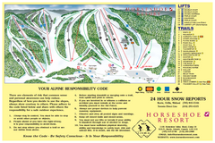
Horseshoe Resort Ski Trail Map
Trail map from Horseshoe Resort, which provides downhill and nordic skiing. This ski area has its...
355 miles away
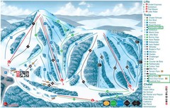
Heights of Horseshoe Ski Trail Map
Trail map from Heights of Horseshoe, which provides downhill skiing. This ski area has its own...
355 miles away
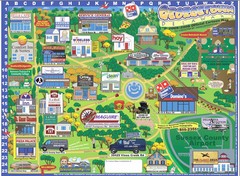
Georgetown Delaware Cartoon Map
355 miles away
Mont Fortin Ski Trail Map
Trail map from Mont Fortin. This ski area has its own website.
355 miles away
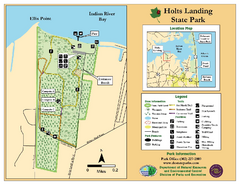
Hots Landing State Park Map
Clear map and legend.
355 miles away
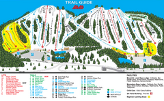
Mount St. Louis/ Moonstone Ski Trail Map
Trail map from Mount St. Louis/ Moonstone, which provides downhill skiing. This ski area has its...
355 miles away
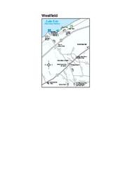
Westfield Map
Tourist map of Westfield, New York, and surrounding area. Shows shops, museums, boat ramps and...
355 miles away

Clear Creek State Park map
Detailed map of Clear Creek State Park in Pennsylvania
356 miles away
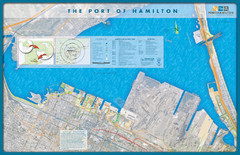
Port of Hamilton Map
Shows piers and tenants of Port of Hamilton, Ontario
357 miles away
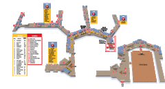
Baltimore Washington International Airport Map
357 miles away
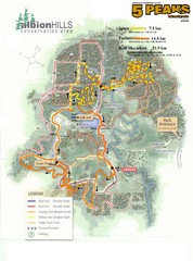
Albion Hills Running Course Map
Map shows the Enduro Course, Sport Course and Half Marathon Course for the 5 Peaks trail running...
357 miles away
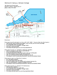
Mohawk College - Wentworth Campus Map
Mohawk College - Wentworth Campus Map. All buildings shown.
358 miles away
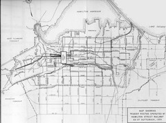
1959 Transit Routes of Hamilton Harbor Map
358 miles away
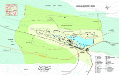
Cowans Gap State Park map
Detailed recreation map for Cowans Gap State Park in Pennsylvania
358 miles away
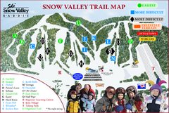
Ski Snow Valley Barrie Ski Trail Map
Trail map from Ski Snow Valley Barrie, which provides downhill skiing. This ski area has its own...
358 miles away

Rattlesnake Point Trail Map
358 miles away
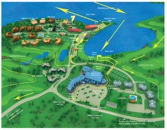
Subaru Ironman Full Resort Map
Overview of Staging areas for Ironman race,
358 miles away
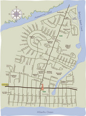
Bethany Beach Tourist Map
358 miles away
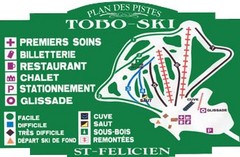
Toboski Ski Trail Map
Trail map from Toboski, which provides downhill and nordic skiing.
359 miles away
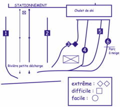
Mont Villa Saguenay Ski Trail Map
Trail map from Mont Villa Saguenay, which provides downhill skiing. This ski area has its own...
359 miles away
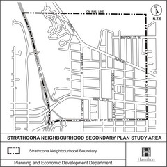
Strathcona Neighbourhood Map
360 miles away

Cook Forest State Park map
Detailed trail map of Cook Forest State Park in Pennsylvania
360 miles away
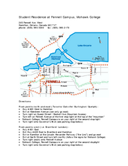
Mohawk College - Fennell Campus Student Residence...
Mohawk College - Fennell Campus Student Residence Halls Map Plan. All buildings shown.
361 miles away

