
Ole Bull State Park Map
Detailed recreation map of Ole Bull State Park in Pennsylvania
286 miles away
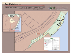
Fox Point State Park Map
Clear and simple state park map.
286 miles away
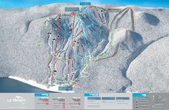
Le Massif Ski Trail Map
Trail map from Le Massif, which provides downhill and nordic skiing. This ski area has its own...
286 miles away
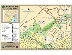
Alapocas Run State Park Map
Detailed map and clear legend for this nice state park.
287 miles away
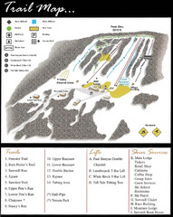
Ski Sawmill Family Resort Trail Map
Map shows trails, lifts and skier services.
287 miles away
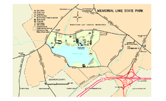
Memorial Lake State Park map
Detailed map of Memorial Lake State Park in Pennsylvania
287 miles away
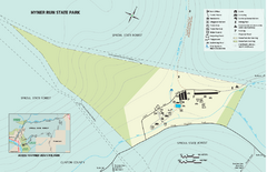
Hyner View State Park map
Detailed map of Hyner View State Park in Pennsylvania
288 miles away
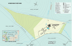
Hyner Run State Park map
Detailed recreation map for Hyner Run State Park in Pennsylvania
289 miles away
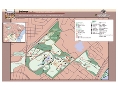
Bellevue State Park Map
Beautiful park with easy to read details.
289 miles away
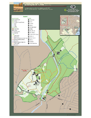
Brandywine Creek State Park Map
Easy to read map and legend of this beautiful state park.
289 miles away
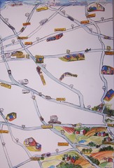
Handrawn Lancaster County Map
Guide to Amish country in Pennsylvania
291 miles away

Brighton-Township, Ontario Map
291 miles away
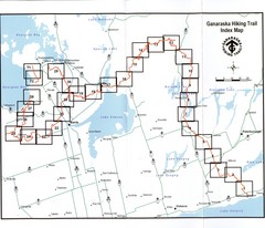
Ganaraska Hiking Trail Map
Map of the hiking trail at Ganaraska forest in Canada. Shows roads, surrounding lakes, towns and...
292 miles away
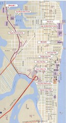
Atlantic City Tourist Map
293 miles away

Casinos in Atlantic City, New Jersey Map
Tourist map of Atlantic City, New Jersey, showing the locations of casinos, as well as shopping and...
294 miles away
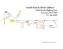
Amish Farm and House Route Map
Map showing directions to the Amish Farm and House with locations of key buildings and streets in...
295 miles away

Oshawa Ski Club Ski Trail Map
Trail map from Oshawa Ski Club, which provides downhill skiing. This ski area has its own website.
296 miles away
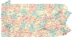
Pennsylvania Road Map
Pennsylvania detailed road map
296 miles away
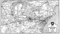
Pennsylvania Railroad System Map
Pennsylvania Railroad system map
296 miles away
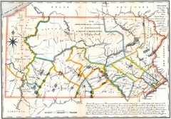
Pennsylvania Survey Map 1791
Survey Map 1791
296 miles away

Hershey Park Official Map
Official 2007 map of the Hershey Theme Park in Hershey, PA
296 miles away
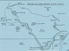
Mason Dixon Trail Map
Hand drawn map of the Mason-Dixon Trail. The 193 mile long Mason-Dixon Trail starts on the...
297 miles away
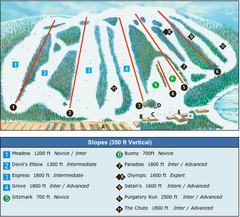
Devil’s Elbow Ski Trail Map
Trail map from Devil’s Elbow, which provides downhill skiing. This ski area has its own website.
297 miles away

White Clay Creek Preserve map
White Clay Creek Preserve State Park recreation and trail map
299 miles away
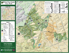
White Clay Creek State Park Map
Clear map and legend of this beautiful state park.
300 miles away

Kettle Creek State Park Map
Detailed map of Kettle Creek State Park in Pennsylvania.
300 miles away
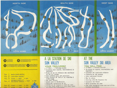
Sun Valley Credit to chris lundquist Ski Trail Map
Trail map from Sun Valley, which provides downhill skiing.
301 miles away
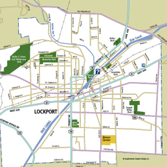
Lockport, New York Map
Map of downtown Lockport, New York, with parks, hospitals, and other points of interest shown.
301 miles away
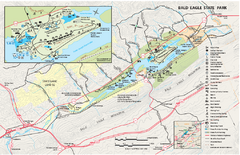
Bald Eagle State Park map
Detailed trail map of Bald Eagle State Park in Pennsylvania.
301 miles away

Oriel College Map
302 miles away

Poe Valley State Park map
Detailed recreation map for Poe Valley State Park in Pennsylvania
302 miles away

University of Delaware Map
University of Delaware Campus Map. All buildings shown.
302 miles away
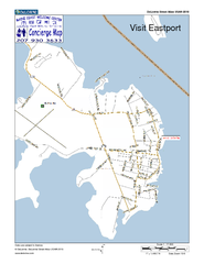
Eastport, Maine, USA Map
Maine Coast Welcome Center's local Map of Eastport, Me with recommended business locations.
303 miles away
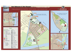
Fort Delaware State Park Map
Nice park on a beautiful island.
303 miles away

Boyd Big Tree Preserve Conservation Area map
Detailed map of Boyd Big Tree Preserve Conservation Area in Pennsylvania.
304 miles away
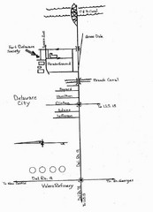
Delaware City Map
City map of Delaware City with Fort Delaware Society highlighted
304 miles away
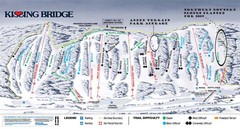
Kissing Bridge Ski Trail Map
Trail map from Kissing Bridge.
305 miles away
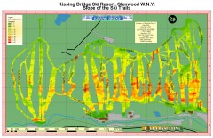
Kissing Bridge Ski Slope Map
Map of Kissing Bridge ski area; shows steepness of slopes with color-coding.
306 miles away
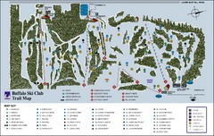
Buffalo Ski Club Trail Map
306 miles away

Reeds Gap State Park map
Detailed recreation map of Reeds Gap State Park in Pennsylvania
306 miles away

