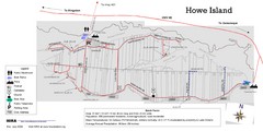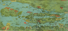
Wellesley Island Illustrated Map
Colorized illustration from "Thousand Islands" viewbook.
174 miles away

Syracuse University Map
Syracuse University Campus Map. All buildings shown.
174 miles away
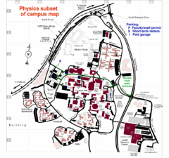
University of New York at Stony Brook Campus Map
175 miles away
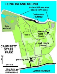
Caumsett State Park Map
Park map of Caumsett State Park on Long Island Sound, New York
176 miles away
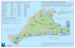
Martha's Vineyard Watershed Map
176 miles away
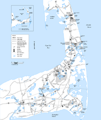
Cape Cod Rail Trail, Cape Cod, Massachusetts Map
Map of the Cape Cod Rail Trail bike path. Shows trails, restrooms, other roads and parking.
176 miles away
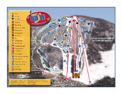
Mont Gleason Ski Trail Map
Trail map from Mont Gleason, which provides downhill skiing. This ski area has its own website.
178 miles away

Hidden Valley Ski Trail Map
Trail map from Hidden Valley.
178 miles away

Ski Big Bear Ski Trail Map
Trail map from Ski Big Bear.
179 miles away
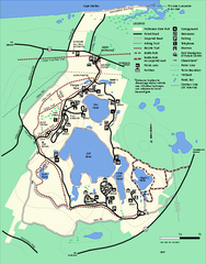
Nickerson State Park trail map
Trail map of Nickerson State Park in Massachusetts.
179 miles away

Mountain Creek South Ski Trail Map
Trail map from Mountain Creek.
179 miles away
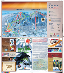
Mountain Creek North Ski Trail Map
Trail map from Mountain Creek.
179 miles away

Song Mountain Ski Trail Map
Trail map from Song Mountain.
179 miles away
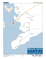
Port Clyde, Maine, USA Map
Maine Coast Welcome Center's local Map of Port Clyde, Me with recommended business locations.
180 miles away
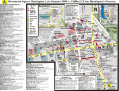
Huntington, New York Restaurant Map
180 miles away
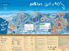
Mountain Creek Ski Trail Map
Official ski trail map of Mountain Creek ski area from the 2007-2008 season. (formerly Vernon...
180 miles away
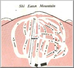
Eaton Mountain Ski Area Ski Trail Map
Trail map from Eaton Mountain Ski Area.
180 miles away
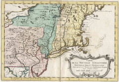
1773 New England Map
French map of New England
181 miles away
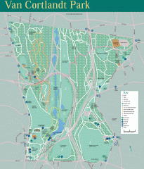
Van Cortlandt Park Trail Map
Trail map of Van Cortlandt Park in the Bronx. Covers 573 acres.
184 miles away
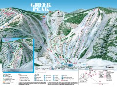
Greek Peak Ski Trail Map
Official ski trail map of Greek Peak ski area from the 2006-2007 season.
184 miles away

Greek Peak Ski Resort Ski Trail Map
Trail map from Greek Peak Ski Resort.
184 miles away
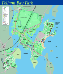
Pelham Bay Park NYC Map
Official detailed map of Pelham bay park, the largest park in New York City at 2,700 acres. Map...
184 miles away
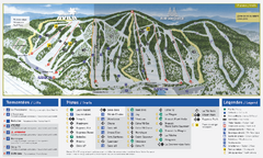
Mont Avila Ski Trail Map
Trail map from Mont Avila, which provides downhill skiing. This ski area has its own website.
185 miles away
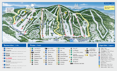
Mont Saint-Sauveur Ski Trail Map
Trail map from Mont Saint-Sauveur, which provides downhill skiing. This ski area has its own...
185 miles away
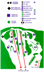
Mont Habitant Ski Trail Map
Trail map from Mont Habitant, which provides downhill skiing. This ski area has its own website.
185 miles away

City Island Street Map
Street map of City Island, New York
186 miles away

The New York Botanical Garden Map
Official Map of The New York Botanical Garden in New York. Shows all areas and different gardens.
186 miles away
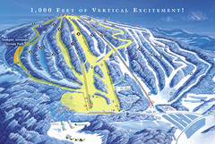
Elk Mountain Ski Trail Map
Trail map from Elk Mountain.
186 miles away
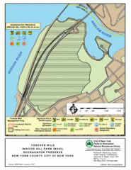
Inwood Hill Park Map
Park map of Inwood Hill Park in the Shorakapok Preserve, New York. 136 acres.
186 miles away
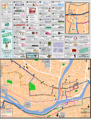
Binghampton Bus Route Map
186 miles away
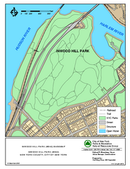
Inwood Hill Park Trail Map
Trail map of Inwood Hill Park located at the extreme northern tip of Manhattan. 136 acres.
186 miles away
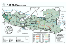
Stokes State Forest map
Trail map of Stokes State Park in New Jersey.
186 miles away
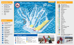
Mont Olympia Ski Trail Map
Trail map from Mont Olympia, which provides downhill skiing. This ski area has its own website.
186 miles away
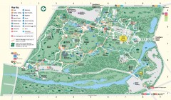
Bronx Zoo Map
Bronx Zoo. The Zoo is open 365 days a year. "Now through November 4, 2007, our hours are 10...
187 miles away
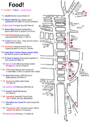
Rockland, Maine Restaurant Map
187 miles away
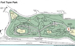
Fort Tyron Park Map
187 miles away

Tanglwood Ski Area Ski Trail Map
Trail map from Tanglwood Ski Area, which provides downhill, night, and terrain park skiing. It has...
187 miles away
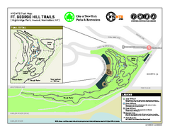
Highbridge Park mountain bike trail map
Mountain biking trail network opened in May 2007. Only mountain biking trails in Manhattan. 25...
187 miles away
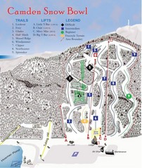
Camden Snow Bowl Ski Trail Map
Trail map from Camden Snow Bowl.
187 miles away

