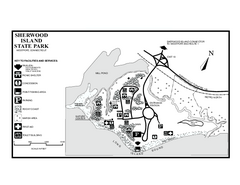
Sherwood Island State Park map
Trail and campground map of Sherwood Island State Park in Connecticut.
162 miles away

Montreal Metro Map
162 miles away

Dry Hill Ski Area Ski Trail Map
Trail map from Dry Hill Ski Area.
163 miles away
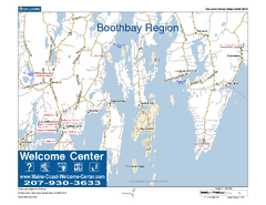
Boothbay Area, Maine, USA Map
Maine Coast Welcome Center's local Map of the Boothbay, Maine area with recommended business...
163 miles away
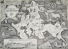
Shelter Island Map
Old Shelter Island map circa 1930s
163 miles away

Montreal Downtown pictorial Map
Pictorial illustration of Downtown Montreal
163 miles away
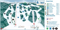
Ski Mont Rigaud Ski Trail Map
Trail map from Ski Mont Rigaud, which provides downhill skiing. This ski area has its own website.
163 miles away

Ogdensburg, New York Historical Map
A wonderful highlight are the art reproductions of homes and buildings which surround the map...
163 miles away
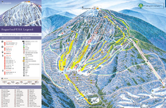
Sugarloaf Ski Trail Map
Trail map from Sugarloaf, which provides downhill, nordic, and terrain park skiing. It has 15 lifts...
164 miles away
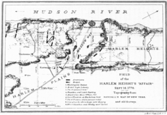
Harlem Hieghts Affair Map
Topography of the field during the battle on Sept 16 1776
164 miles away
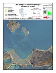
Penekese Island Eelgrass Map
165 miles away
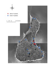
Native and Exotic Phragmites on Block Island Map
165 miles away
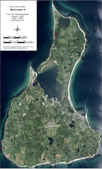
Block Island Aerial Map
Aerial map of Block Island, RI (New Shoreham, RI). True color orthophotography from August 2006.
165 miles away
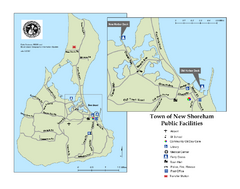
Block Island Road Map
Shows roads and major facilities on Block Island, RI (New Shoreham)
165 miles away
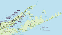
Long Island Wineries Map
Map of LIWC member wineries offering wine tastings to the public.
166 miles away
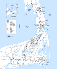
Cape Cod Rail Trail Map
Cape Cod Rail Trail map. The Cape Cod Rail Trail follows a former railroad right-of-way for 22...
166 miles away
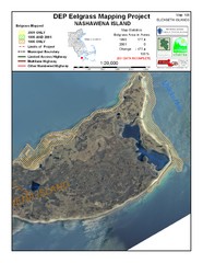
Nashawena Island Eelgrass Map
166 miles away

New York State Fairgrounds Map
167 miles away

Eastern Long Island Placemat map
Photo of a placemat map from Gosman's Dock Restaurant in Montauk, NY. Shows eastern Long...
167 miles away
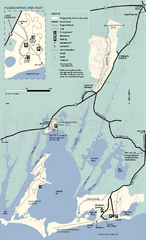
Waquoit Bay National Estuarine Research Preserve...
Trail map of Waquoit Bay National Estuarine Research Preserve in Massachusetts.
168 miles away
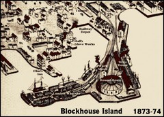
Blockhouse Island Map 1874
Bird’s Eye view map of Brockville created by artist Herman Brosius and the lithographers...
168 miles away

Tuxedo Ridge Ski Trail Map
Trail map from Tuxedo Ridge.
168 miles away
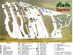
Toggenburg Ski Center Ski Trail Map
Trail map from Toggenburg Ski Center.
169 miles away
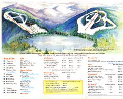
Mount Tone Ski Trail Map
Trail map from Mount Tone.
170 miles away
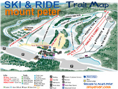
Mt. Peter Ski Area Ski Trail Map
Trail map from Mt. Peter Ski Area.
170 miles away
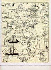
Wellfleet 1930s Tourist Map
A tourist map from the 1930s of Wellfeet, Massachusetts in Cape Cod. Courtesy of Cynthia Blakeley
170 miles away
Appalachian National Scenic Trail Map
Scenic trail Maine to Georgia
170 miles away
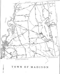
Madison Town Map
171 miles away
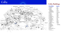
Colby College Campus Map
Official map of the Colby College campus. Colby's campus, on 714 acres overlooking the city...
172 miles away
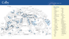
Colby College Campus Map
Official map of the Colby College campus. Colby's campus, on 714 acres overlooking the city of...
172 miles away
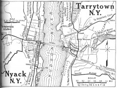
Antique map of Nyack and Tarrytown from 1917
Map of Nyack and Tarrytown, NY from Automobile Blue Book, 1917, Vol. 3
172 miles away
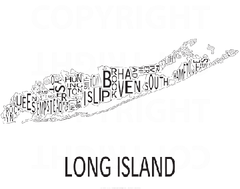
Urban Neighborhood Map: Long Island Map
This Urban Neighborhood Poster of Long Island is a modern twist on traditional maps. The typography...
173 miles away
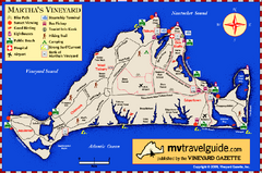
Martha's Vineyard Island Map
Tourist map of island of Martha's Vineyard, Massachusetts.
174 miles away
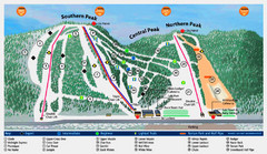
Labrador Mountain Ski Trail Map
Trail map from Labrador Mountain.
174 miles away

Syracuse University Campus Map
Map of the Syracuse University Campus. Includes buildings, parking, streets, and location of the...
174 miles away
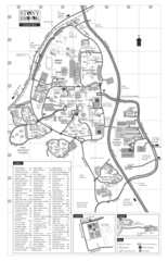
Stony Brook University Map
174 miles away
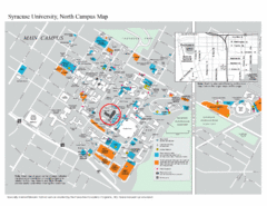
Syracuse University, North Campus Map
Campus map of Syracuse University, North Campus. Maxwell School of Executive Education is...
174 miles away
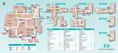
Cape Cod Hospital Map
Campus map of Cape Cod Hospital
174 miles away

Cape Cod Hospital Map
Map of external vicinity of Cape Cod Hospital
174 miles away


