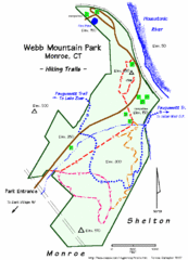
Webb Moutain Park Map
143 miles away
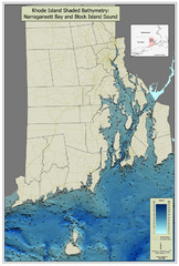
Rhode Island Shaded Bathymetry Map
Bathymetric map of Rhode Island with Narrangansett Bay and Rhode Island Sound. Graduated...
143 miles away
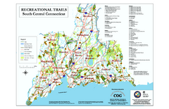
South Central Connecticut Recreational Trail Map
Map of South Central Connecticut showing all recreational trails and open spaces.
143 miles away
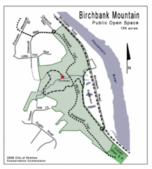
Birchbank Park Map
143 miles away
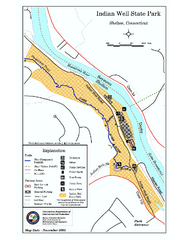
Indian Well State Park map
Trail map for Indian Well State Park in Connecticut.
144 miles away
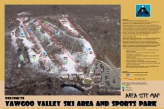
Yawgoo Valley Ski Trail map
Map of Yawgoo Valley Ski area in Exeter, Rhode Island. It is the only skiing resort in Rhode...
144 miles away
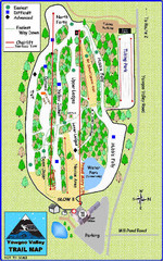
Yawgoo Valley Ski Area Ski Trail Map
Trail map from Yawgoo Valley Ski Area.
144 miles away
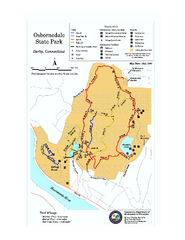
Osbornedale State Park map
Trail map of Osborndale State Park in Connecticut.
145 miles away
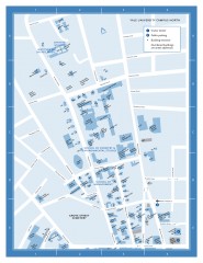
Yale University Campus North Map
Yale University Campus Map - North Campus, including School of Forestry & Environmental Studies...
145 miles away
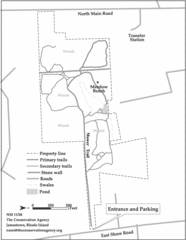
Parker Farm Trail Map
146 miles away
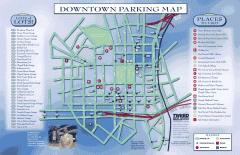
Downtown New Haven Parking Map
Shows locations of all town parking lots and also points of interest
146 miles away

Yale University Map
146 miles away
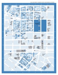
Yale University Campus South and Medical Center...
Yale University Campus South and Medical Center, including the Hewitt Quad, Cross Campus, Old Campus
146 miles away
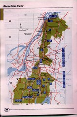
Richelieu River Guide Map
146 miles away
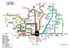
Guilford Bus Services Map
146 miles away
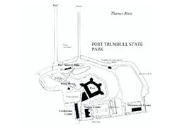
Fort Trumbull State Park map
Map of Fort Trumbull State Park in Connecticut.
146 miles away
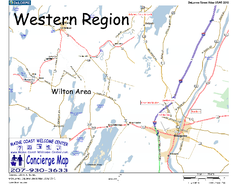
Western Maine, USA Map
Maine Coast Welcome Center's local Map of Western Maine with recommended business locations.
147 miles away
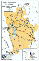
Collis P. Huntington State Park map
Trail map of Collis P. Huntington State Park in Connecticut
147 miles away
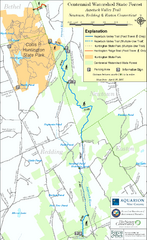
Centennial Watershed State Forest trail map
Trail map of Centennial Watershed State Forest in Connecticut
147 miles away
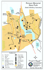
Putnam Memorial State Park map
Trail map for Putnal Memorial State Park in Connecticut,
147 miles away
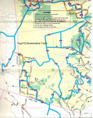
Tug Hill Trail Map
Tug Hill Area Snow Mobile Trail Map
147 miles away
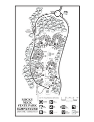
Rocky Neck State Park campground map
Campground map of Rocky Neck State Park in Connecticut.
147 miles away
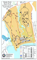
Rocky Neck State Park trail map
Trail map of Rocky Neck State Park in Connecticut.
147 miles away
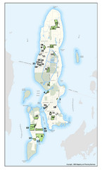
Conanicut Island Land Trust Map
Shows 430 acres of property on Conanicut Island, RI stewarded by the Conanicut Island Land Trust
148 miles away
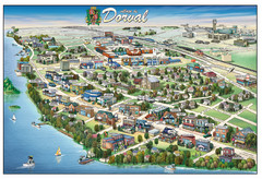
Pictorial map of Dorval
148 miles away
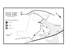
Haley Farm State Park map
Trail map of Haley Farm State Park in Connecticut.
148 miles away
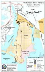
Bluff Point State Park map
Trail map for Bluff Point State Park and Coastal Reserve.
148 miles away
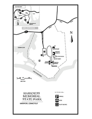
Harkness Memorial State Park map
Trail map of Harkness Memorial State Park in Connecticut.
149 miles away

Hammonasset Beach State Park map
Trail map for Hammonasset Beach State Park in Connecticut.
149 miles away
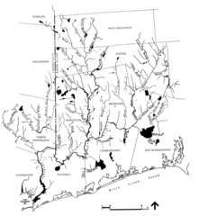
Rhode Island Coastal Watershed Map
Paddling Guide of Pawcatuck River Watershed
149 miles away

Hammonasset Beach State Park campground map
Campground map of Hammonasset State Park in Connecticut.
149 miles away
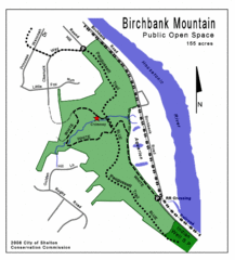
Birchbank Park Map
Several miles of moderately difficult trails along the Housatonic River bluff, including the...
149 miles away
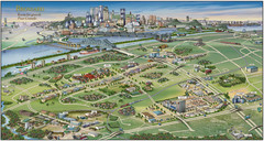
Pictorial map of Brossard
Brossard pictorial map
149 miles away
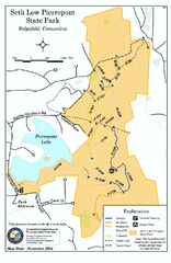
Seth Low Pierrepont State Park Reserve map
Trail map of Seth Low Pierreport State Park in Connecticut.
150 miles away
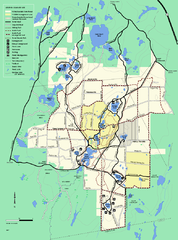
Myles Standish State Forest trail map
Summer trail map for Myles Standish State Forest.
150 miles away
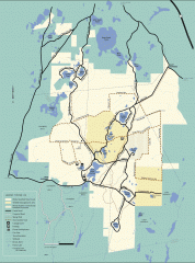
Myles Standish State Forest winter trail map
Winter activity map of all the trails and roads in Myles Standish State Park, MA. Cross country...
150 miles away
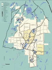
Myles Standish State Forest summer trail map
Map of all the trails and roads in Myles Standish State Park, MA. 15 miles of bicycle trails, 35...
150 miles away
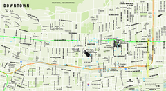
Downtown Montreal Map
Street map of central Montreal. Shows access to the metro and commuter train
150 miles away
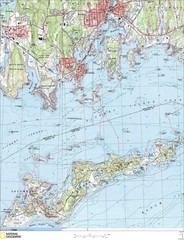
Fishers Island Map
In Long Island Sound
150 miles away
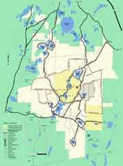
Myles Standish State Forest Winter trail map
Myles Standish State Forest winter use trail map.
150 miles away

