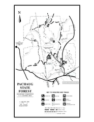
Pachaug State Forest map
Trail map of Pachaug State Forest in Connecticut.
133 miles away
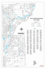
West Warwick Town Map
Street map of W. Warwick
134 miles away
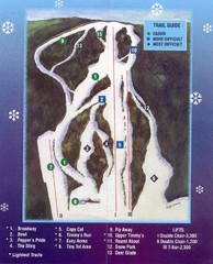
Woods Valley Ski Area Ski Trail Map
Trail map from Woods Valley Ski Area.
134 miles away
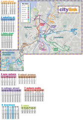
Citylink Route Map
Map of citylink bus routes throughout Auburn and Lewiston, Maine
134 miles away
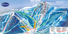
Mont Orford Ski Trail Map
Trail map from Mont Orford, which provides downhill and nordic skiing. This ski area has its own...
134 miles away
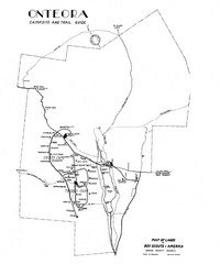
Onteora District Map
Boy Scouts Map of Onteora
134 miles away
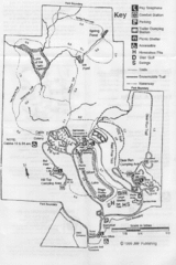
Gilbert Lake State Park Map
134 miles away
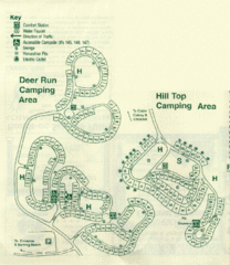
Gilbert Lake State Park Camping Map
135 miles away
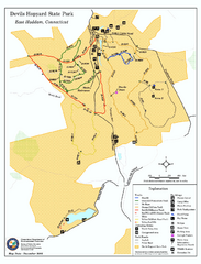
Devils Hophard State Park map
Trail and camprground map for Devils Hopyard State Park in Connecticut.
135 miles away

Cockaponset State Forest North Section trail map
Trail map for the north section of Cockaponset State Forest in Connecticut
135 miles away
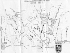
Arcadia Management Area State Map
Trail map for Arcadia Management Area in Rhode Island
136 miles away
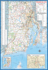
Rhode Island Road Map
Official Rhode Island state highway map. Insets show Newport and Providence.
136 miles away
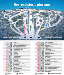
Ski Mont Shefford Ski Trail Map
Trail map from Ski Mont Shefford, which provides downhill skiing. This ski area has its own website.
136 miles away
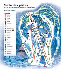
Montjoye Ski Trail Map
Trail map from Montjoye, which provides downhill skiing. This ski area has its own website.
137 miles away
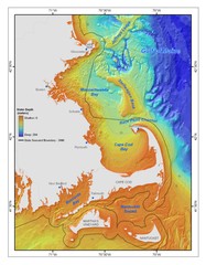
Massachusetts Bay sea floor Map
137 miles away
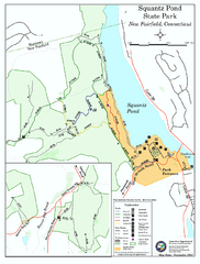
Squantz Pond State Park map
Trail and campground map for Squantz Pond State Park in Connecticut.
137 miles away
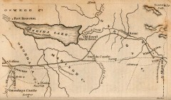
Antique map of Utica, NY from 1830
Map of Utica, NY from The Northern Traveller, and Northern Tour; with the Routes to The Springs...
137 miles away
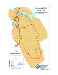
Southford Falls State Park map
Trail map for Southford Falls State Park in Connecticut.
137 miles away
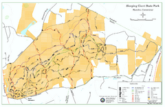
Sleeping Giant State Park map
Trail map for Sleeping Giant State Park in Connecticut.
137 miles away
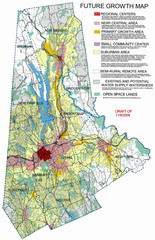
Danbury Regional Growth Map
Guide to future growth of Danbury, CT and surrounds
138 miles away

Cockaponset State Forest South Section trail map
Trail map for the South Section of Cockaponset State Forest in Connecticut.
138 miles away
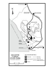
Gillette State Park trail map
Trail map of Gillette Castle State Park in Connecticut.
138 miles away
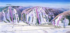
Snow Ridge Ski Trail Map
Trail map from Snow Ridge.
138 miles away
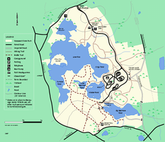
Massasoit State Park trail map
Trail map of Massasoit State Park in Massachusetts
138 miles away
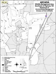
Arcadia Wildlife Management Area Map - Southeast
Reference map shows portion of Arcadia Wildlife Management Area, Rhode Island southeast of Highway...
139 miles away
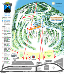
Thunder Ridge Ski Trail Map
Trail map from Thunder Ridge.
139 miles away
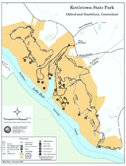
Kettletown State Park trail map
Trail map for Kettletown State Park in Connecticut.
140 miles away
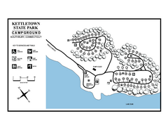
Kettletown State Park campground map
Campground map for Kettletown State Park in Connecticut.
140 miles away
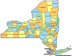
New York Counties Map
141 miles away
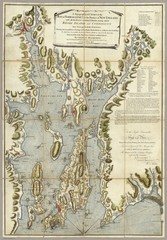
Narrangansett Bay Map 1777
"A Topographical CHART of the BAY of NARRAGANSET in the Province of NEW ENGLAND. with the...
141 miles away
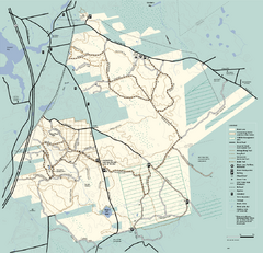
Freetown-Fall River State Forest trail map
Trail map of Freetown-Fall River State Forest in Massachusetts
141 miles away
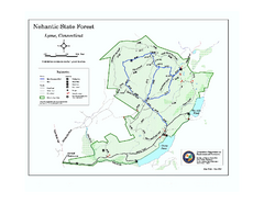
Nehantic State Forest map
Trail map of Nehantic State Forest in Connecticut.
141 miles away
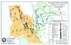
Chatfield Hollow State Park map
Trail map of Chatfield Hollow State Park
142 miles away
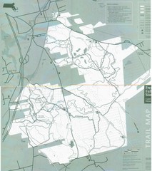
Freetown State Forest Map
Freetown State Forest Map showing mountain biking trails
142 miles away
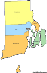
Rhode Island Counties Map
142 miles away
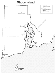
Rhode Island Airports Map
142 miles away
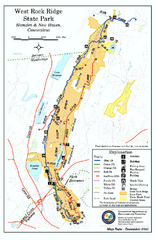
West Rock Ridge State Park map
Trail map of West Rock Ridge State Park in Connecticut.
142 miles away
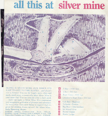
Silver Mine Credit to chris lundquist Ski Trail...
Trail map from Silver Mine, which provides downhill skiing.
142 miles away
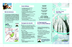
Mont-Bellevue and Nordic Ski Trail Map
Trail map from Mont-Bellevue.
142 miles away

