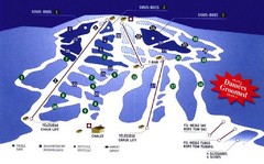
Mont Glen Ski Trail Map
Trail map from Mont Glen, which provides downhill skiing. This ski area has its own website.
125 miles away
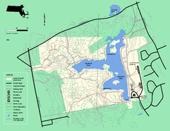
Ames Nowell State Park Map
Trail map of Ames Nowell State Park in Massachusetts
125 miles away
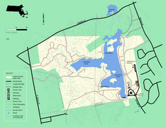
Ames Nowell State Park Map
Simple map of this beautiful state park. Visit and hike, bike, and shop!
126 miles away
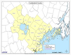
Cumberland County Map
Map showing all city divisions of Cumberland County, Maryland with specific location of the CPCOG.
126 miles away
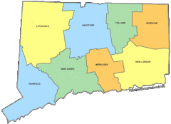
Connecticut Counties Map
126 miles away
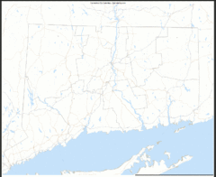
Connecticut Zip Code Map
Check out this Zip code map and every other state and county zip code map zipcodeguy.com.
126 miles away
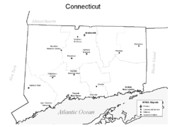
Conneticut Airports Map
126 miles away
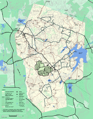
Wompatuck State Park trail map
Trail map of Wompatick State Park in Massachusetts.
127 miles away
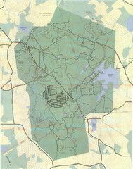
Wompatuck Park Trail Map
Map of Wompatuck Park including trails and roads and park features
127 miles away
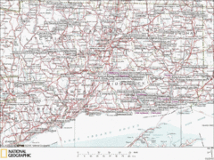
Connecticut Canoeing and Kayaking Lakes Map
A map of the lakes and ponds that are open for canoeing and kayaking in Connecticut. For detailed...
127 miles away
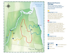
Black Creek Trail Preserve Map
Trail map of Black Creek Preserve on the Hudson River in New York. Shows Yellow Trail, Red Trail...
127 miles away
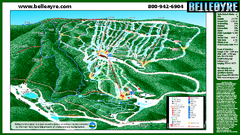
Belleayre Mountain Ski Trail Map
Trail map from Belleayre Mountain.
127 miles away
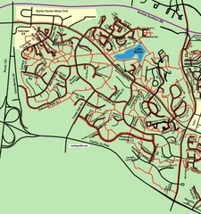
Burke Centre Area Trail Map
127 miles away
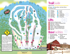
Mt. Southington Ski Area Ski Trail Map
Trail map from Mt. Southington Ski Area, which provides downhill, night, and terrain park skiing...
127 miles away
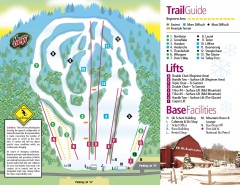
Mount Southington Ski Trail Map
Official ski trail map of Mount Southington ski area from the 2007-2008 season.
127 miles away
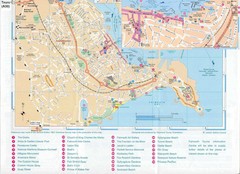
Falmouth Map
Map of Falmouth town and bay. Includes roads, parks, accommodations and attractions.
127 miles away
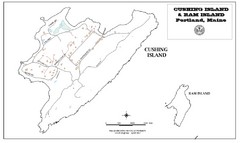
Cushing Island Map
Also shows Ram Island
127 miles away
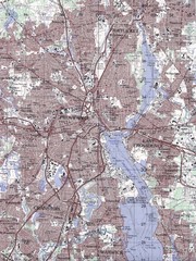
Providence Topo Map
Topo map of Providence, East Providence, Cranston, and Pawtucket, RI. Original scale 1:50,000
128 miles away
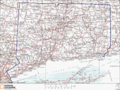
Connecticut State Parks Map
This is statewide map for Connecticut state parks. Go to the source website for detailed hiking...
128 miles away
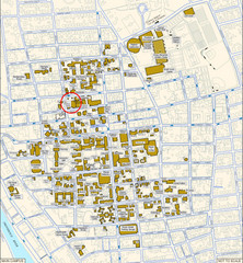
Providence, Rhode Island City Map
128 miles away
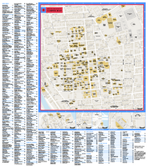
Brown University Campus Map
Official campus map of Brown University.
129 miles away
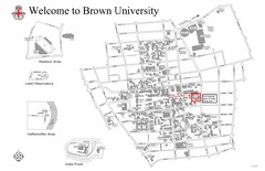
Brown University Map
129 miles away
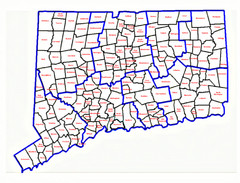
Connecticut Town Map
129 miles away
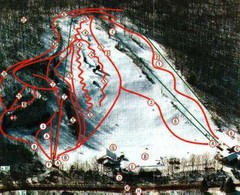
Woodbury Ski Area Ski Trail Map
Trail map from Woodbury Ski Area, which provides downhill, night, nordic, and terrain park skiing...
129 miles away

Salmon River State Forest trail map
Trail map for Salmon River State Forest in Connecticut.
129 miles away
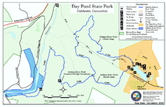
Daypond State Park map
Trail map for Day Pond State Park
129 miles away
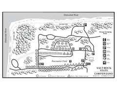
Salt Rock State Park campground map
Campground Map of Salt Rock State Campground in Connecticut.
129 miles away
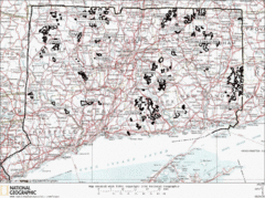
Connecticut State Forests Map
This is a map of all of the state forest boundaries in Connecticut. Follow the source web address...
129 miles away
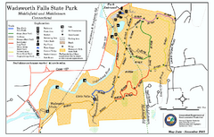
Wadsworth Falls State Park map
Trail map of Wadsworth Falls State Park in Connecticut.
130 miles away
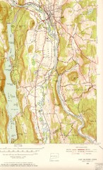
New Milford, Connecticut Map
New Milford, Connecticut topo map with roads, streets and buildings identified
131 miles away
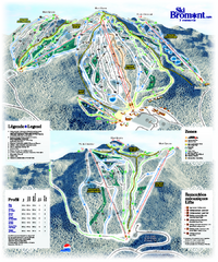
Ski Bromont Ski Trail Map
Trail map from Ski Bromont, which provides downhill skiing. This ski area has its own website.
131 miles away
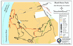
Hurd State Park trail map
Trail map for Hurd State Park in Connecticut.
131 miles away
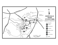
Hopeville Pond State Park trail map
Trail map for Hopevill Pond State Park in Connecticut
131 miles away
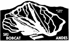
Bobcat Ski Center Ski Trail Map
Trail map from Bobcat Ski Center.
131 miles away
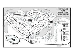
Hopeville Pond campground map
Campground map of Hopeville Pond State Park in Connecticut.
131 miles away
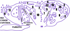
Lost Valley Ski Area Ski Trail Map
Trail map from Lost Valley Ski Area.
132 miles away
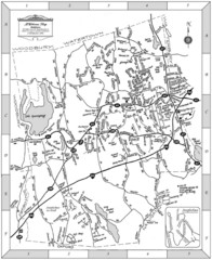
Middlebury, Connecticut Map
132 miles away
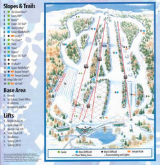
Powder Ridge Ski Area Ski Trail Map
Trail map from Powder Ridge Ski Area.
132 miles away
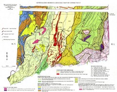
Connecticut Geologic Map
Geologic map of Connecticut bedrock. Shows shaded terranes, fault lines, and Mesozoic formations.
132 miles away
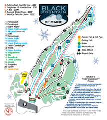
Black Mountain Ski Trail Map
Trail map from Black Mountain, which provides downhill, night, nordic, and terrain park skiing. It...
132 miles away

