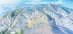
Sunday River Ski Resort Ski Trail Map
Trail map from Sunday River Ski Resort.
117 miles away
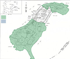
Thompson Island Easement Map
Map of Thompson Island easement. Includes roads, buildings, trails and attractions as well as the...
117 miles away
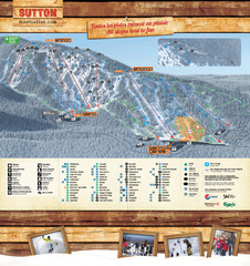
Mont Sutton Trail map
117 miles away
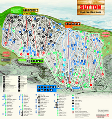
Mont Sutton Ski Trail Map
Trail map from Mont Sutton, which provides downhill skiing. This ski area has its own website.
117 miles away

Topsmead State Forest map
Trail map for Topsmead State Forest in Connecticut.
118 miles away
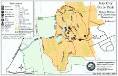
Gay City State Park trail map
Trail map of Gay City State Park in Connecticut.
118 miles away
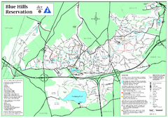
Blue Hills Reservation Trail Map
Trail map of the Blue Hills Reservation in Massachusetts
118 miles away
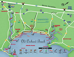
Old Orchard Beach Tourist Map
118 miles away
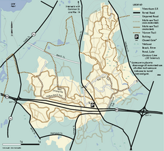
Wrentham State Forest trail map
Trail map of Wrentham State Forest in Massachusetts.
118 miles away
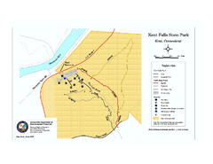
Kent Falls State Park trail map
Trail map of Kent Falls State Park in Connecticut.
119 miles away
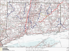
Connecticut Long Distance Trails Map
A map of long distance trails throughout Connecticut. Go to the website below for detailed trail...
119 miles away
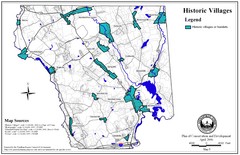
Historic Villages of Mansfield, Connecticut Map
Historical villages outlined on the map of the existing city.
119 miles away
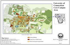
University of Connecticut Campus Map
Map shows current, funded projects and future development for UConn.
119 miles away
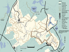
F. Gilbert Hills State Forest trail map
F. Gilbert Hills State Forest trail map in Massachusetts.
119 miles away
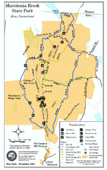
Macedonia Brook State Park trail map
Trail map of Macedonia Brook State Park in Connecticut.
120 miles away
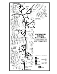
Macedonia Brook State Park campground map
Campground map for Macedonia Brook State Park in Connecticut.
120 miles away

Olympic Scenic Byway Map
Overview map showing the length of the Olympic Scenic Byway, which runs from Lake Ontario (Sackett...
120 miles away
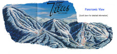
Titus Mountain Ski Trail Map
Trail map from Titus Mountain.
120 miles away
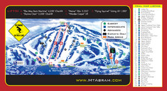
Mt. Abram Ski Resort Ski Trail Map
Trail map from Mt. Abram Ski Resort.
120 miles away
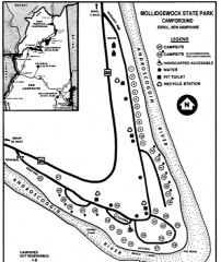
Mollidgewock State Park map
Campground map of Mollidgewock State Park in New Hampshire.
121 miles away
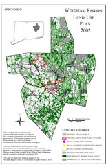
2002 Windham Region Land Use Map
Regional Land Use Guide Map for Planning Purposes
121 miles away
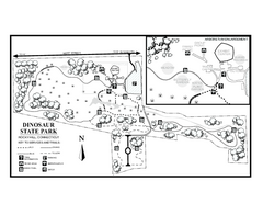
Dinosaur State Park map
Trail map of Dinosaur State Park in Connecticut.
122 miles away
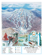
The Balsams—Wilderness Ski Trail Map
Trail map from The Balsams—Wilderness.
122 miles away
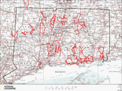
Connecticut Road Cycling Routes Map
A map of road cycling routes throughout Connecticut. Follow the link below for detailed route maps...
122 miles away
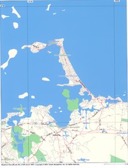
Hull Town Map
122 miles away
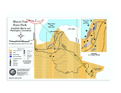
Mount Tom State Park trail map
Trail map of Mt. Tom State Park in Connecticut.
122 miles away
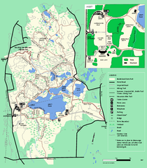
Borderland State Park trail map
Trail map of Borderland State Park in Massachusetts
122 miles away
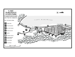
Lake Waramaug State Park campground map
Campground map of Lake Waramaug State Park.
123 miles away
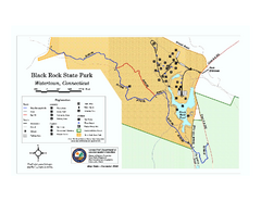
Black Rock State Park trail map
Trail map of Black Rock State Park in Connecticut.
123 miles away
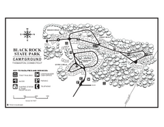
Black Rock Campground map
Map of the Campgrounds in Black Rock State Park.
123 miles away
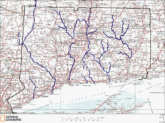
Connecticut Rivers and Coastal Paddling Map
This is a map of paddling areas for rivers and coastal kayaking. Follow the link below for...
123 miles away
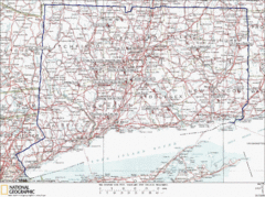
Connecticut Rock Climbing Locations Map
A map of most of the important rock climbing and bouldering areas in Connecticut. Click the link...
124 miles away
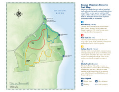
Esopus Meadows Preserve Trail Map
Trail map of Esopus Meadows Preserve park on the Hudson River.
124 miles away
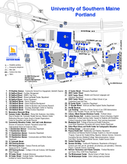
University of Southern Maine - Portland Map
124 miles away
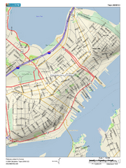
Portland, Maine City Map
124 miles away
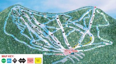
Plattekill Ski Trail Map
Official ski trail map of Plattekill ski area from the 2007-2008 season.
125 miles away
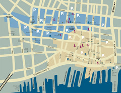
Portland, Maine Tourist Map
125 miles away
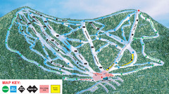
Ski Plattekill Ski Trail Map
Trail map from Ski Plattekill.
125 miles away
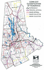
Connecticut Roadway Classification Map
125 miles away

