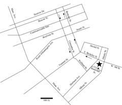
Rotch Field Location Map
Directions to Rotch Playing Field in Boston Common.
112 miles away
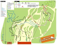
Hunter Mountain Bike Park Map
Map of bike trails in park
112 miles away
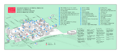
Boston University Medical Campus and Boston...
Boston University Medical Campus and Boston Medical Center area map. All buildings shown.
112 miles away
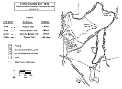
Pulaski State Park Map
113 miles away
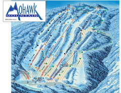
Mohawk Mountain Ski Trail Map
Ski trail map of Mohawk Mountain ski area
113 miles away
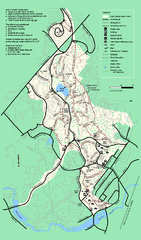
Stony Brook Reservation trail map
Trail map of the Stony Brook Reservation in Massachusetts.
113 miles away
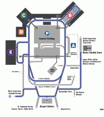
Boston/General Edward Lawrence Logan...
Terminal map of Boston/General Edward Lawrence Logan International Airport. Shows all areas.
113 miles away
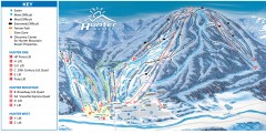
Hunter Mountain ski trail map
Official ski trail map of Hunter Mountain ski area from the 2006-2007 season.
113 miles away

North Mohawk Mountain State Forest (Winter Trails...
Winter trail map for North Mohawk Mountain State Forest in Connecticut.
113 miles away

North Mohawk Mountain State Forest (Summer Trails...
Summer trail map of the North section of Mohawk Mountain State Forest in Connecticut.
113 miles away
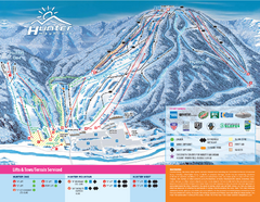
Hunter Mountain Ski Bowl Ski Trail Map
Trail map from Hunter Mountain Ski Bowl.
113 miles away
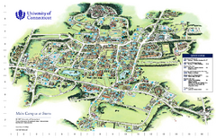
University of Connecticut - Storrs Campus Map
University of Connecticut - Storrs Campus Map. All areas shown.
113 miles away
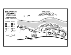
Housatonic State Forest campground map
Campground map of Housatonic State Forest in Connecticut.
113 miles away
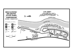
Housatonic Meadows State Park campground map
Campground map for Housatonic Meadows State Park in Connecticut.
113 miles away
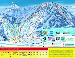
Hunter Mountain Trail Map
114 miles away
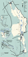
Blackstone Trail Map
Map of Blackstone River State Park in Massachusetts.
114 miles away
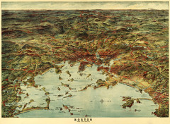
Walker's Map of Boston Harbor and Environs...
Walker's map of Boston Harbor and immediate environs from 1905.
114 miles away
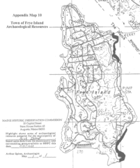
Frye Island Archaeological Map
114 miles away
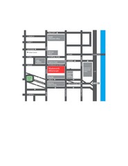
Wadsworth Athenium Museum Location Map
Wadsworth Athenium visitor location map with locations of major buildings, streets, parks, and...
114 miles away
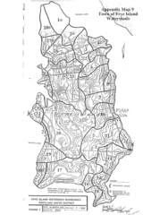
Frye Island Watershed Boundary Map
114 miles away
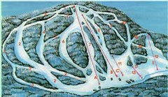
McCauley Mountain Ski Trail Map
Trail map from McCauley Mountain.
114 miles away
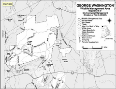
George Washington Wildlife Management Area Map
114 miles away
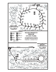
Mashamoquet Brook State Park campground map
Campground map of Mashamoquet Brook State Park in Connecticut.
114 miles away
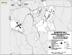
Durfee Hill Wildlife Management Area Map
114 miles away
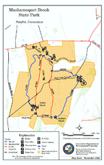
Mashamoquet Brook State Park trail map
Trail map of Mashamoquet Brook State Park in Connecticut.
114 miles away
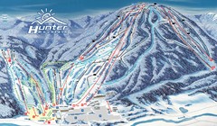
Hunter Mountain Trail Map
Ski trail map
115 miles away
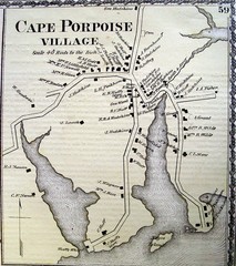
Cape Porpoise Village Map
115 miles away

Mansfield Cemetery Map
115 miles away

South Mohawk Mountain State Forest (Winter Trails...
Winter trial map for the Southern Section of Mohawk Mountain State Forest in Connecticut.
115 miles away
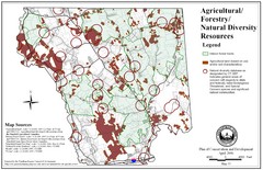
Mansfield Conservation and Development Map
Guide to Agricultural, Forestry and Natural Diversity Resources
115 miles away
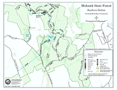
South Mohawk Mountain State Forest (Summer Trails...
Summer trails for South Mohawk State Forest in Connecticut.
115 miles away
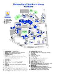
University of Southern Maine - Gorham Map
116 miles away
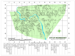
Woonsocket Street Map
Street map of Woonsocket, Rhode Island. Shows street legend.
116 miles away
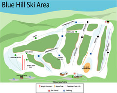
Blue Hills Ski Area Ski Trail Map
Trail map from Blue Hills Ski Area.
116 miles away
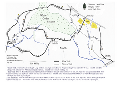
Sprague Farm - Glocester Land Trust Map
116 miles away

Poets Walk Trail Map
Guide to Poet's Walk and Hudson River Overlook
116 miles away
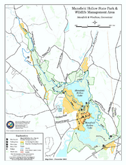
Mansfield Hollow State Park map
Map for Mansfield Hollow State Park and Wildlife Management Area in Connecticut.
117 miles away
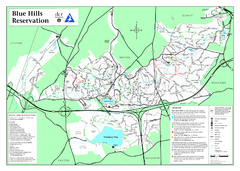
Blue Hills State Park Map
Clearly marked state park map of this beautiful state park.
117 miles away
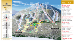
Owl’s Head Ski Trail Map
Trail map from Owl’s Head, which provides downhill skiing. This ski area has its own website.
117 miles away
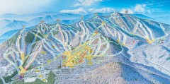
Sunday River Ski Trail map 2006-07
Official ski trail map of Sunday River ski area from the 2006-2007 season.
117 miles away

