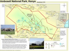
Amboseli National Park Map
Park map of Amboseli National Park, Kenya, home of elephants.
1455 miles away
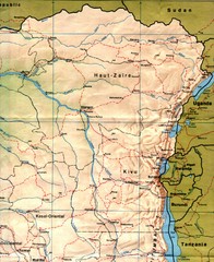
Zaire (Eastern Region) Map
Eastern Zaire (now Democratic Republic of the Congo)
1466 miles away
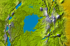
Lake Victoria topography Map
1466 miles away
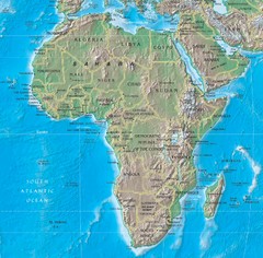
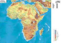
Physical Africa Map
1476 miles away
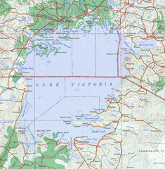
Lake Victoria 1968 Map
1486 miles away
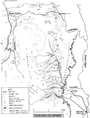
Nguruman Mountain Map
1486 miles away
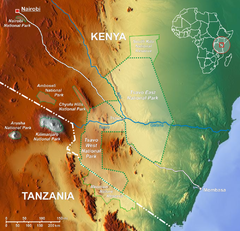
Tsavo National Park Map
1487 miles away
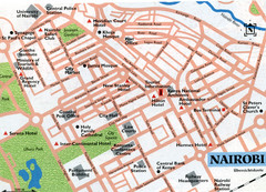
Nairobi City Map
Close up map marking roads and parks in downtown Nairobi.
1533 miles away
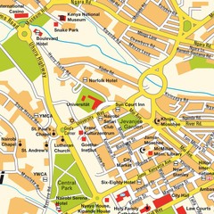
Niarobi City Map
1534 miles away
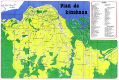
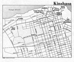
Kinshasa Overview Map
Overview map of Kinshasa, Democratic Republic of Congo shows major streets.
1550 miles away
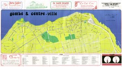
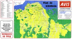
Kinshasa Gombe and Centreville Tourist Map
Tourist map of Gombe and Centreville in Kinshasa. Shows streets and points of interest. In French...
1553 miles away
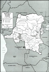
Republic of the Congo 1964 Military Map
Map of the military situation with a hostage crisis in 17 July 1964. Map shows rebel forces and...
1560 miles away
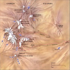
Rwenzori National Park Mt. Stanley Map
1562 miles away
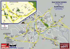
Kampala Tourist Map
Tourist map of Kampala
1574 miles away
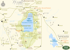
Lake Nukuru Map
Lake Nukuru and its surrounding areas provide for an amazing safari experience.
1575 miles away
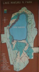
Lake Nakuru National Park Map
1579 miles away
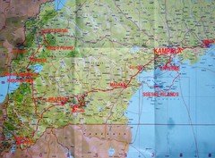
Uganda Tourist Map
1614 miles away
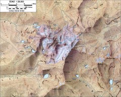
Mt. Kenya Topo Map
Topographical map of Mt. Kenya, the second highest mountain in Africa at 17058 ft
1618 miles away
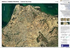
Cabinda City Map
Topo city map of central Cabinda, Angola. Shows points of interest.
1623 miles away
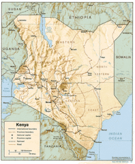
Kenya Tourist Map
1640 miles away
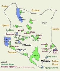
Kenya Tourist Map
1640 miles away
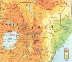
Kenya Map
Physical map of Kenya. Shading based on elevation.
1640 miles away
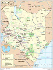
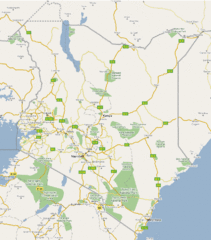
Kenya Overview Map
Overview map of Kenya. Shows major cities, roads, and national parks.
1640 miles away
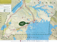
Uganda Tourist Map
Map of Uganda shows Trails and the proposed location of Equator City.
1643 miles away
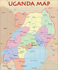
Uganda Political Map
Political map of Uganda. Shows regions, cities, and water features.
1643 miles away
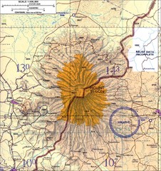
Mount Elgon topo. Map
1654 miles away
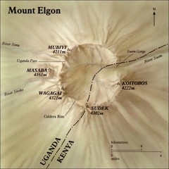
Mount Elgon shaded relief Map
1658 miles away
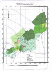
Budongo Forest Map
Budongo Forest Map Shows color-coded forest management zones.
1677 miles away
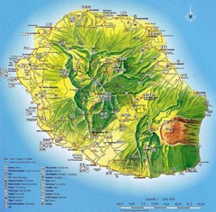
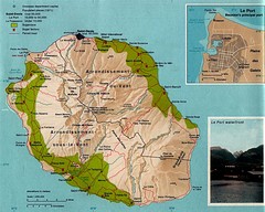
Reunion Island Map
Guide to Reunion, an overseas department of France, off the coast of Madagascar
1684 miles away
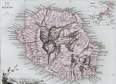
Reunion 1886 Map
1687 miles away
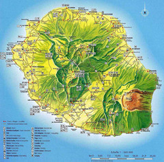
Reunion Tourist Map
Tourist map of the French island of Reunion off the east coast of Madagascar in the Indian Ocean...
1687 miles away
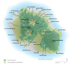
Reunion National Parks Map
1689 miles away
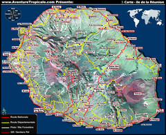
Reunion Tourist Map
1690 miles away

