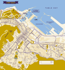
Cape Town City Tourist Map
Tourist Map of Cape Town, South Africa showing tourist attractions and street level detail of the...
1046 miles away
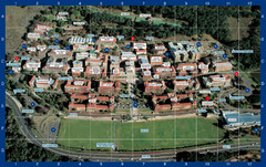
University of Cape Town Photo Map
Upper Campus Map of University of Cape Town - labeled photograph map.
1046 miles away
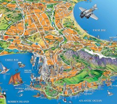
Capetown Tourist Map
Informal Map of Cape Town with several highlights of area attractions
1046 miles away
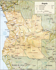
Angola relief Map
1046 miles away
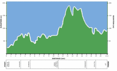
Two Oceans Half Marathon Elevation Map
Elevation map for the Two Oceans Half Marathon
1047 miles away
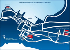
Cape Peninsula University of Technology Campus Map
Maps of Cape Peninsula U. of Technology campuses in Cape Town, Mowbray & Granger Bay
1048 miles away
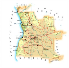
Angola Map
1049 miles away
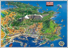
Cape Town Bird's Eye View Map
Bird's eye view tourist map of Cape Town and peninsula, South Africa.
1049 miles away
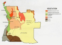
Angola vegetation Map
1051 miles away
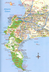
Cape Peninsula Map
1052 miles away
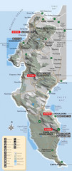
Cape Town Map
Map of marine-protected areas in and around Cape Town
1052 miles away
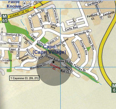
Capri Village Map
1055 miles away
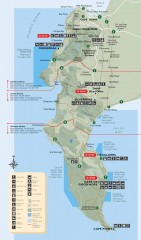
Table Mountain National Park Recreational Map
Official recreational map of Table Mountain National Park near Capetown, South Africa.
1055 miles away
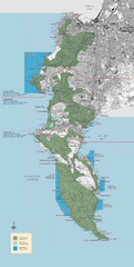
Table Mountain National Park Map
Official management map of Table Mountain National Park Map near Capetown, South Africa. Also...
1059 miles away
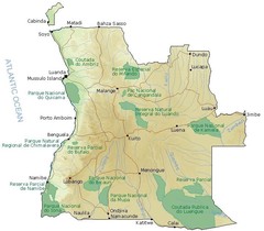
Angola National Parks Map
1068 miles away
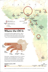
Sub-Saharan Africa Oil Map
Shows major oil producing countries in Sub-Saharan Africa. Biggest two countries are Nigeria and...
1069 miles away
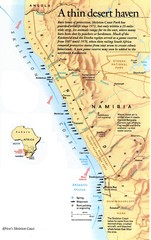
Skeleton Coast Map
1069 miles away
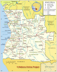
Angola Political Map
Detailed map of Angola marking borders, rivers,capitols, airports, provinces and more.
1072 miles away
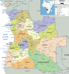
Angola poiitical regions Map
1078 miles away
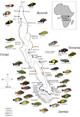
Fish of Lake Tanganyika Map
1084 miles away

Madagascar land cover and elevation Map
1087 miles away
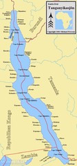
Lake Tanganyika Map
Deepest Lake in Africa at 4823 ft.
1100 miles away
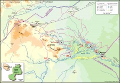
Seleous Game reserve, northern portion Map
Shows the northern part of the Seleous Game reserve in Tanzania around the Rufiji River and Beho...
1157 miles away
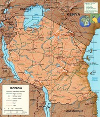
Tanzania Map
1157 miles away
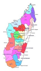
Madagascar regions Map
1158 miles away
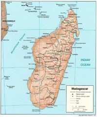
Madagascar Roads and Trains Map
Cities, roads and train lines.
1163 miles away
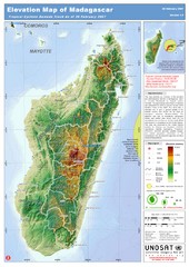
Madagascar Elevation Map
Shows color-coded elevation of island of Madagascar. Shows tropical cyclone Gamede track as of Feb...
1163 miles away
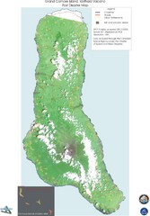
Grand Comore Island Volcanic Eruption Map
Karthala volcanic eruption post disaster map on Grand Comore Island, 8/12/2005
1178 miles away

Grand Comore Island Topography Map
1184 miles away

Comoros Islands Map
1199 miles away

Early East and Central Africa Map - Slug Map
Sketch of a Map from 1 & deg;N. to 15 & deg;S. Latitude and from 23 & deg; to 43 &...
1200 miles away
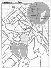
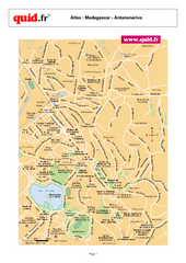
Antananarivo, Madagascar Tourist Map
1202 miles away
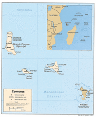
Mayotte Regional Map
Guide to the area around Mayotte
1205 miles away
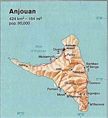
Anjouan Island topography Map
1215 miles away
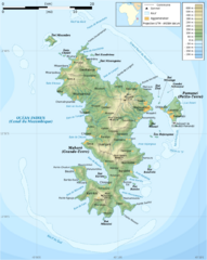
Mayotte Topographic Map
Guide to the island nation of Mayotte
1229 miles away
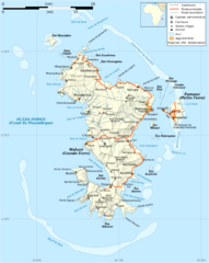
Mayotte Map
Guide to the country of Mayotte, an overseas collectivity of France
1230 miles away

Mayotte tourism Map
1231 miles away
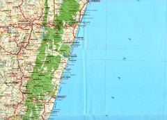
Antananarivo region Map
1247 miles away

