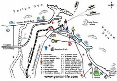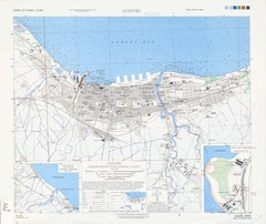
Aomori City Tourist Map
Map of places of interest, Aomori.
511 miles away
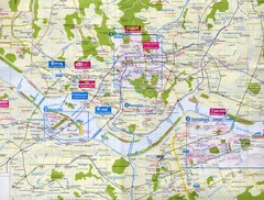
Seoul City Map
City map of Seoul, Korea. Scanned.
516 miles away
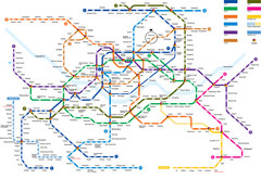
Seoul Subway Map
516 miles away

Anyang Guide Map
516 miles away
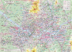
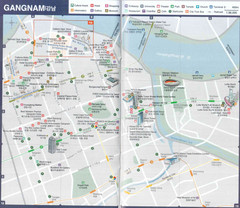
Seoul Tourist Map
Guide to Seoul, South Korea, in Korean
516 miles away
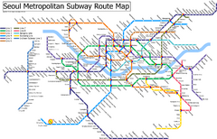
Seoul Subway Map
517 miles away
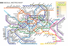
Seoul Subway Map
517 miles away
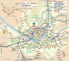
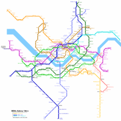
Seoul Metro Map
Unofficial metro map of Seoul, South Korea.
517 miles away
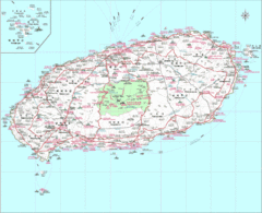
Jejudo Map
Reference map of Jejudo Island, South Korea. The largest island in Korea.
522 miles away
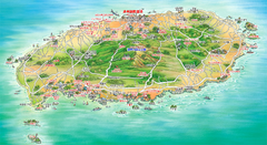
Jeju Tourist Map
Tourist map of island of Jeju, Korea. Shows points of interest. In Korean.
523 miles away
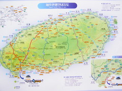
Jeju Tourist Map
Tourist map of Cheju (Jeju) Island, South Korea. The honeymoon island. From photo.
524 miles away
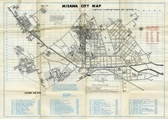
Misawa City Map
City map of Misawa, home of the US Misawa Air Base
525 miles away

Kimpo Airport Guide Map
526 miles away
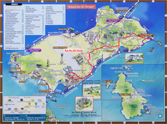
Yeongjong Island Tourist Map
Tourist map of Yeongjong Island, South Korea, off the coast of Incheon, South Korea. Also shows...
541 miles away
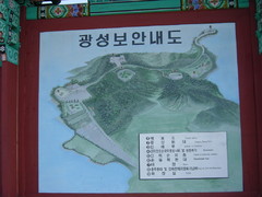
Ganghwa Island Map
From photo of sign. In Korean.
549 miles away
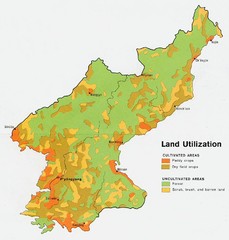
North Korea land use Map
568 miles away
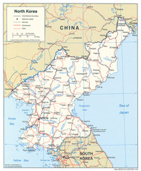
North Korea Tourist Map
588 miles away
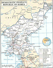
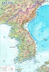
Democratic People's Republic of Korea Map
Map of the DPRK (North Korea)
588 miles away
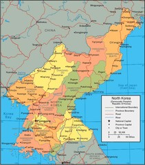
North Korea political Map
602 miles away
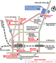
Muroran Institute of Technology Campus Map
Simple and clear map of this small campus.
606 miles away
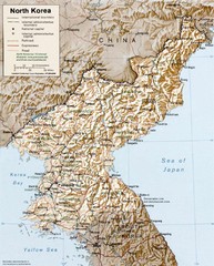
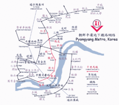
North Korea Map
611 miles away
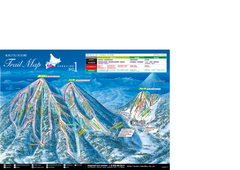
Rusutsu Resort Ski Trail Map
Trail map from Rusutsu Resort, which provides downhill skiing. This ski area has its own website.
626 miles away
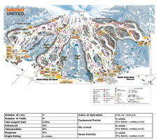
Niseko Ski Resort Map
Niseko's Mt. An'nupuri is home to three major ski resots: Niseko Grand Hirafu, Niseko...
627 miles away
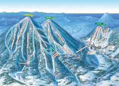
Rusutu Trail Map
Simple map marking trails and peaks.
627 miles away
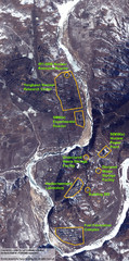
Map of Yongbyon Nuclear Complex
Details of North Korea’s Yongbyon Nuclear Complex. In early October 2008, the IAEA said North...
643 miles away
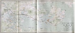
1915 Eastern Asia Map
655 miles away
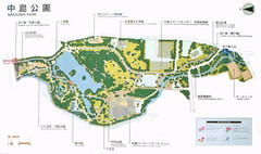
Nakajima Park Map
657 miles away
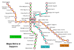
Sappora Subway Map
Clear map of Sappora's subway system.
658 miles away
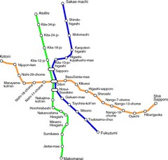
Sapporo Metro Map
Simple map of Sapporo's metro system.
658 miles away
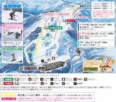
Furano Ski Trail Map
Trail map from Furano.
702 miles away
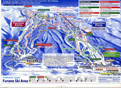
Furano Ski Trails Map
Map marking the great trails on this amazing mountain.
703 miles away
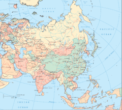
Asia Country and Tourist Map
Countries and continents in Asia
708 miles away
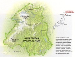
Diasetsuzan National Park Map
726 miles away
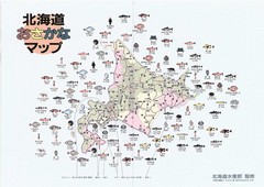
Osakana Fish Map
Map of Osakana, Japan shows all native fish. In Japanese.
731 miles away

Kumejima Island Tourist Map
Kumejima Island
733 miles away

