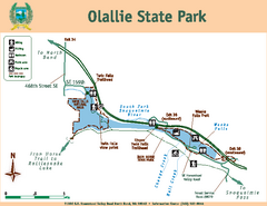
Olallie State Park Map
Map of park with detail of trails and recreation zones
146 miles away
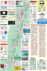
Milton tourist map
Tourist map of Milton, Washington. Shows all businesses.
147 miles away
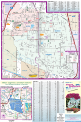
Milton and Edgewood tourist map
Tourist map of Milton and Edgewood, Washington. Shows all businesses.
147 miles away
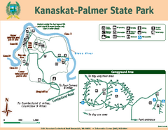
Kanaskat-Palmer State Park Map
Map of park with detail of trails and recreation zones
149 miles away
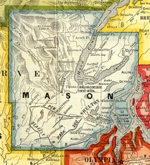
Mason County Washington, 1909 Map
150 miles away
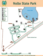
Nolte State Park Map
Map of park with detail of trails and recreation zones
151 miles away
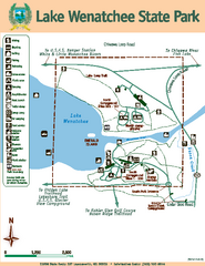
Lake Wenatchee State Park Map
Map of island with detail of trails and recreation zones
151 miles away
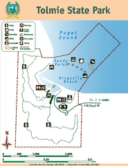
Tolmie State Park Map
Map of park with detail of trails and recreation zones
152 miles away
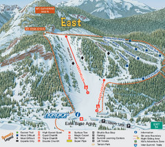
The Summit at Snoqualmie Summit East Ski Trail Map
Trail map from The Summit at Snoqualmie, which provides night and terrain park skiing. It has 30...
152 miles away
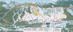
The Summit at Snoqualmie Summit Central Ski Trail...
Trail map from The Summit at Snoqualmie, which provides night and terrain park skiing. It has 30...
152 miles away
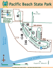
Pacific Beach State Park Map
Map of park with detail of trails and recreation zones
153 miles away
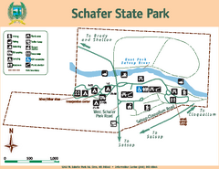
Schafer State Park Map
Map of park with detail of trails and recreation zones
153 miles away
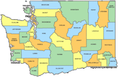
Washington State Counties Map
154 miles away
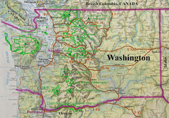
Washington State Road and Recreation Map
154 miles away
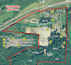
Grays Harbor County Straddleline ORV Park...
Park Map near Olympia
156 miles away
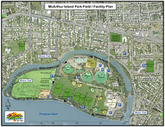
MacArthur Island Park Map
Park map of MacArthur Island Park in the Thompson River in Kamloops, BC. Shows Rivers Trail...
156 miles away

Kamloops tourist info map by Jean-Louis Rheault
Tourist map of Kamloops, British Columbia. Photo of 20 foot sign with the cartographer, Jean-Louis...
156 miles away

Olympia Map
Map of downtown Olympia's parking and shuttle routes.
157 miles away
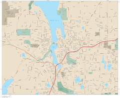
Olympia, Washington City Map
157 miles away
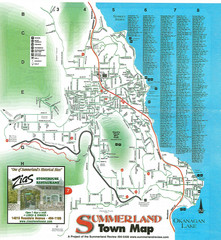
Summerland Town Map
Map of Summerland with details on outdoor-recreation locations and streets
157 miles away
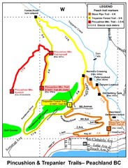
Peachland Walks Map
Guide to Pincushion and Trepanier Trails in Peachland, BC
157 miles away
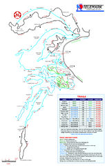
Telemark Cross Country Ski Trail Map
Trail map from Telemark Cross Country, which provides nordic skiing. This ski area has its own...
158 miles away
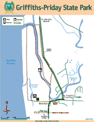
Griffiths-Priday State Park Map
Griffiths-Priday State Park
158 miles away
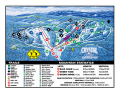
Crystal Mountain Resort Ski Trail Map
Trail map from Crystal Mountain Resort, which provides downhill skiing. This ski area has its own...
159 miles away
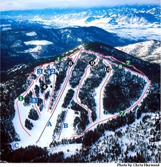
Loup Loup Ski Bowl Ski Trail Map
Trail map from Loup Loup Ski Bowl, which provides downhill, night, and nordic skiing. It has 2...
160 miles away
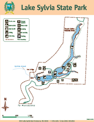
Lake Sylvia State Park Map
Map of island with detail of trails and recreation zones
161 miles away
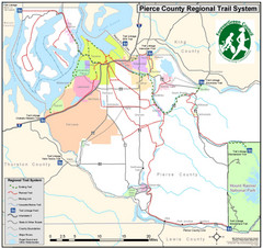
Pierce County Regional Trail Map
County-wide system of trails
162 miles away
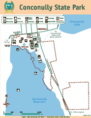
Conconully State Park Map
Map of park with detail of trails and recreation zones
162 miles away
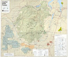
Capitol State Forest Map
163 miles away
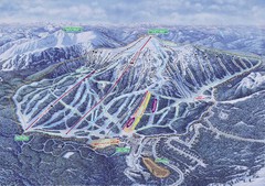
Apex Mountain Ski Resort Map
Apex Mountain Trail Map, Lifts and Elevations
163 miles away
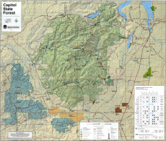
Capitol State Forest Map
Shows all trails in Capitol State Forest and surrounding area, including Lower Chehalis State...
163 miles away
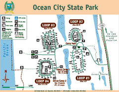
Ocean City State Park Map
Map of park with detail of trails and recreation zones
164 miles away
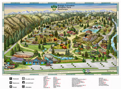
British Columbia Wildlife Park Visitor Map
Wildlife Visitor Park Map. Full color with illustrations.
165 miles away
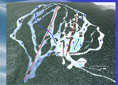
2004–09 Harper Mountain Map
Trail map from Harper Mountain, which provides downhill and nordic skiing. This ski area has its...
165 miles away
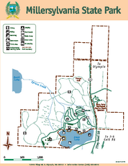
Millersylvania State Park Map
Map of park with detail of trails and recreation zones
166 miles away
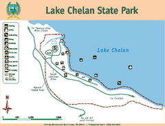
Lake Chelan State Park Map
Map of island with detail of trails and recreation zones
167 miles away
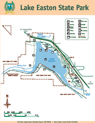
Lake Easton State Park Map
Map of island with detail of trails and recreation zones
168 miles away

Pierce County Washington Map, 1909 Map
168 miles away
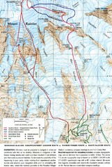
Mount Rainier Topo Map
Map of Mount Rainier Ascent. We ascended the "Muir Snowfield" and then went up the "...
171 miles away

