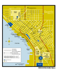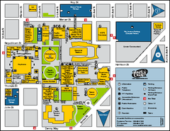
Seattle City Center, Washington Map
Map of points of interest in Seattle Center. KeyArena, the Space Needle, theaters, parking and...
122 miles away
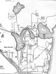
Seattle Historic Bike Paths Map
Historic bike paths in Seattle
122 miles away
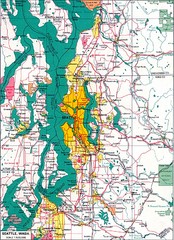
Seattle Region Map
122 miles away
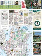
Greater Madison tourist map
Tourist map of Greater Madison, Washington. Shows all businesses.
122 miles away
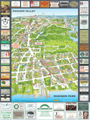
Madison Park tourist map
Tourist map of Madison Park, Washington. Shows all businesses.
122 miles away
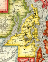
Kitsap County Washington, 1909 Map
122 miles away
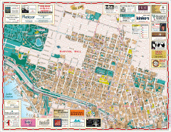
Capitol Hill tourist map
Tourist map of Capitol Hill in Seattle, Washington. Shows all businesses.
122 miles away
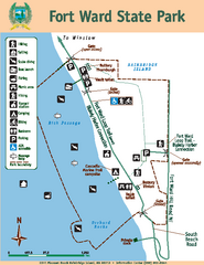
Fort Ward State Park Map
Map of park with detail of trails and recreation zones
122 miles away
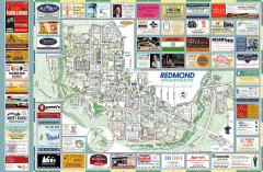
Redmond tourist map
Tourist map of Redmond, Washington. Shows all businesses.
122 miles away
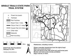
Bridle Trails State Park Map
122 miles away
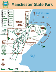
Manchester State Park Map
Map of park with detail of trails and recreation zones
123 miles away
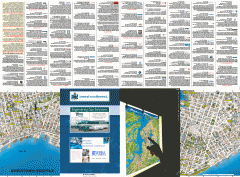
Downtown Seattle biotech map
Downtown Seattle map of biotechnology companies.
123 miles away
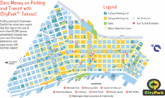
Seattle City Parks Map
123 miles away
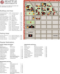
Seattle University Map
Campus Map
123 miles away

Seattle Shopping map for Lucky Magazine
Illustrated map of Seattle shopping locations illustrated by MapsIllustrated for Lucky Magazine(NYC)
123 miles away
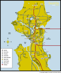
Seattle, Washington City Map
123 miles away
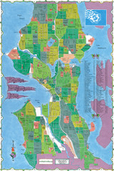
Seattle Neighborhood Map
123 miles away
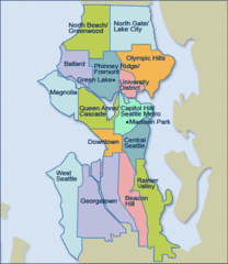
Seattle Neighborhood Map
123 miles away
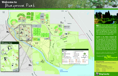
Marymoor Park Map
123 miles away
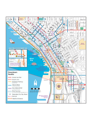
Downtown Seattle Bikeways Map
Map of bike paths, bike lanes, public transportation and points of interest in Seattle, Washington.
123 miles away
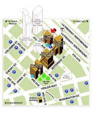
Municipal Court of Seattle Location Map
123 miles away
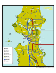
Neighborhoods of Seattle, Washington Map
Tourist map of Seattle, Washington, showing neighborhoods, parks, and scenic drives.
123 miles away
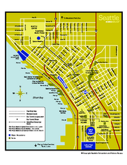
Downtown Seattle, Washington Map
Tourist map of downtown Seattle, Washington. Shows locations of Space Needle, Experience Music...
123 miles away
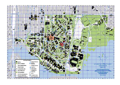
University of Washington - Seattle Campus Map
Campus Map of the University of Washington - Seattle Campus. All buildings shown.
123 miles away
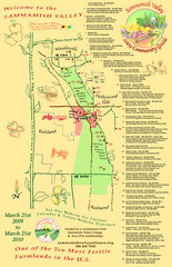
Sammamish Valley Guide Map
124 miles away
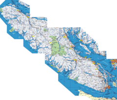
Vancouver Island Map
Detailed map of Vancouver Island, British Columbia. Shows towns, roads, and parks.
124 miles away
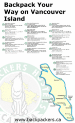
Vancouver Island Backpacking Map
Shows hostels on Vancouver Island, BC
124 miles away
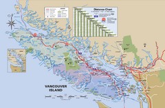
Vancouver Island Map
124 miles away
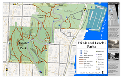
Frink Park and Leschi Park Map
124 miles away
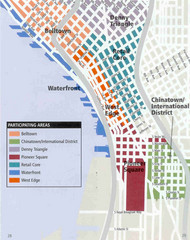
Seattle Neighborhoods Map
Map outlines several neighborhoods in Seattle, Wahsington
125 miles away
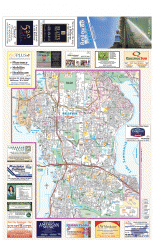
Bellevue tourist map
Tourist map of Bellevue, Washington. Shows all businesses.
125 miles away
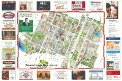
Tourist map of Downtown Bellevue
Tourist map of Downtown Bellevue, Washington. Shows all businesses.
125 miles away
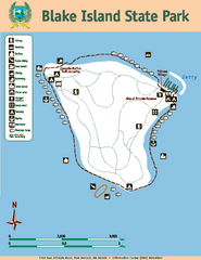
Blake Island State Park Map
Map of park with detail of trails and recreation zones
126 miles away
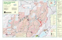
Tahuya State Forest Trail Map
Shows trails of Tahuya State Forest. Show roads, doubletrack, singletrack, and 4WD only.
126 miles away
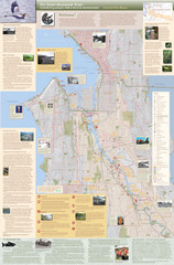
Duwamish River Community Map
This is a printed map, 32" X 40", created for the Duwamish River Cleanup Coalition in...
126 miles away
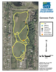
Genesee Park Trail Map
Trail map of Genesee Park in Mt Baker, Seattle, WA
126 miles away
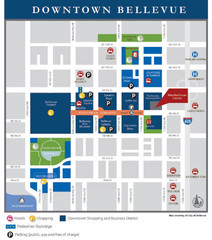
Downtown Bellevue Map
Driving Directions and Downtown Map
127 miles away
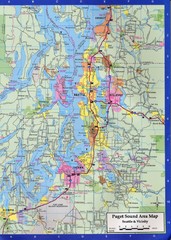
Seattle, Washington City Map
127 miles away
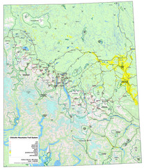
Chilcotin Mountains Trail System Map
Trail system map of the Chilcotin Mountains in BC, Canada "On the trail system map '...
127 miles away

