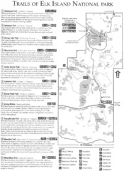
Elk Island National Park Trail Map
Map of hiking trails of Elk Island National Park, Alberta
533 miles away
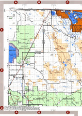
Modoc National Forest Map
Forest Visitor Map of the western most part of Modoc National Park. Includes county boundaries...
534 miles away
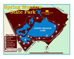
Spring Meadow Lake State Park Map
This urban, day-use-only park minutes from Helena fed by natural springs, is a popular spot for...
535 miles away
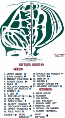
Maverick Mountain Ski Area Ski Trail Map
Trail map from Maverick Mountain Ski Area.
537 miles away
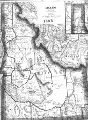
Idaho 1883 Map
538 miles away
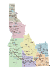
Idaho Road Map
538 miles away
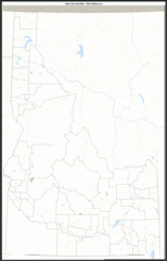
Idaho Zip Code Map
Check out this Zip code map and every other state and county zip code map zipcodeguy.com.
538 miles away
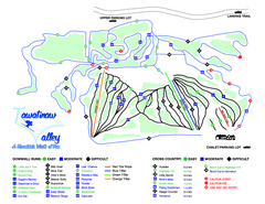
Tawatinaw Valley Ski Trail Map
Trail map from Tawatinaw Valley, which provides downhill and nordic skiing. This ski area has its...
538 miles away
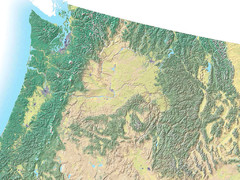
Northwest USA topo Map
539 miles away

Helena, Montana City Map
548 miles away
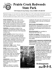
Prairie Creek Redwoods State Park Campground Map
Map of campground region of park with detail of trails and recreation zones
548 miles away
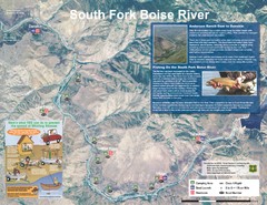
South Fork Boise River Map
Map of the South Fork of the Boise River from Anderson Ranch Dam to Neal Bridge. Premier wild...
548 miles away
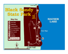
Black Sandy State Park Map
Simple but clear map of State Park.
549 miles away
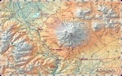
Mt. Shasta Scenic Area map
Great map of the Mt. Shasta region. Shows roads (including 4WD), mountains, lakes, and hiking...
549 miles away
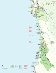
Redwood National Park Map
Official NPS map of Redwood National Park, California. Also shows Jedediah Smith Redwoods State...
552 miles away
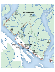
Ketchikan Area Map
Map of Ketchikan, Alaska and Revillagigedo Island. Shows trails, lakes, parks, and main roads.
552 miles away
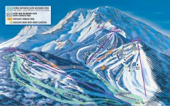
Mt. Shasta Ski Park Ski Trail Map
Official ski trail map of Mount Shasta Ski Park ski area
554 miles away
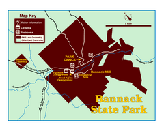
Bannack State Park Map
555 miles away
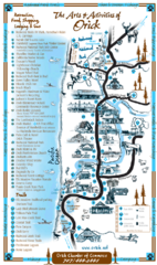
Orick Redwood National Park Map
556 miles away
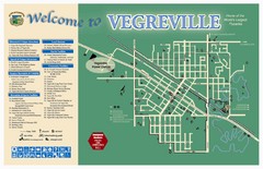
Vegreville Tourist Map
Tourist map of Vegreville, Alberta. Shows points of interest.
558 miles away
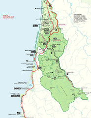
Prairie Crek State Park Map
559 miles away
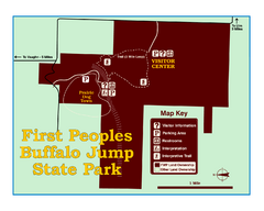
First People's Buffalo Jump State Park Map
A visitor center and interpretive trails tell the story of this prehistoric bison kill site, one of...
560 miles away
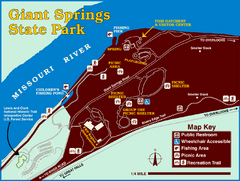
Giant Springs State Park Map
Set aside a whole afternoon to experience this scenic and historic freshwater springs site. First...
560 miles away
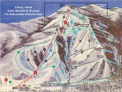
Soldier Mountain Ski Trail Map
Trail map from Soldier Mountain, which provides downhill and terrain park skiing. It has 3 lifts...
563 miles away

Redwood National Park Map
563 miles away
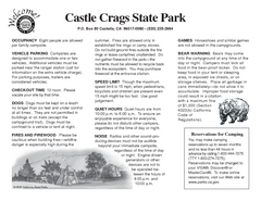
Castle Crags State Park Map
Map of park with detail of trails and recreation zones
565 miles away
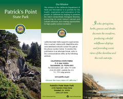
Patrick's Point State Park Map
Map of park with detail of trails and recreation zones
567 miles away
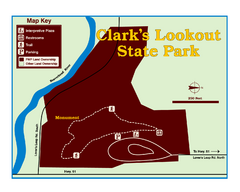
Clark's Lookatout State Park Map
Clearly marked State Park Map.
568 miles away
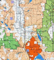
Modoc National Park Map
Visitor Map of Modoc National Park, eastern part. Includes all roads, lakes, camping and boating...
568 miles away
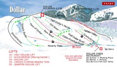
Sun Valley—Bald Mountain Ski Trail Map
Trail map from Sun Valley—Bald Mountain, which provides downhill, nordic, and terrain park skiing...
570 miles away
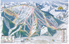
Sun Valley Ski Area Trail Map
Official ski trail map of Bald Mountain, the main mountain of Sun Valley ski area in Sun Valley...
570 miles away
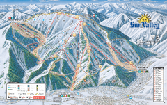
Sun Valley Ski Trail Map 2008
Ski trail map of Sun Valley ski area
570 miles away
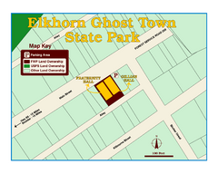
Elkhorn Ghost Town State Park Map
Clearly marked map of old 1880's ghost town with impressive structures.
573 miles away
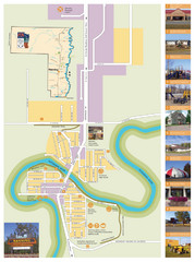
Manning Town Map
574 miles away
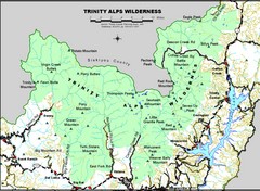
Trinity Alps Wilderness Map
Overview map of the Trinity Alps Wilderness near Weaverville, CA
574 miles away
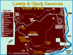
Lewis and Clark Caverns State Park Map
Montana's first and best-known state park showcases one of the most highly decorated limestone...
577 miles away
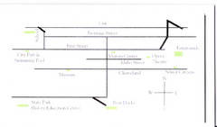
Glenns Ferry City Map
City map of Glenns Ferry, Idaho with information
577 miles away
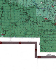
Klamath National Forest Map
Visitor Map of Klamath, eastern part of the forest, includes all roads, camp grounds, creeks, and...
578 miles away
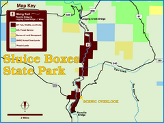
Sluice Boxes State Park Map
Remains of mines, a railroad, and historic cabins line Belt Creek as it winds through a beautiful...
578 miles away
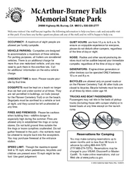
McArthur-Burney Falls Memorial State Park...
Map of park with detail of trails and recreation zones
578 miles away

