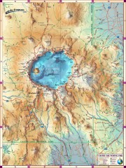
Crater Lake National Park map
Great map of Crater Lake National Park shows all trails, viewpoints, mountains, roads, campgrounds...
443 miles away
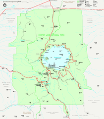
Crater Lake National Park official map
Official map of Crater Lake National Park. Shows hiking trails, elevations of peaks, roads, and...
443 miles away
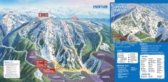
Brundage Ski Trail Map
Official ski trail map of Brundage ski area from the 2007-2008 season.
443 miles away
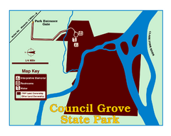
Council Grove State Park Map
Clearly marked map.
446 miles away
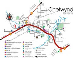
Chetwynd Town Map
447 miles away
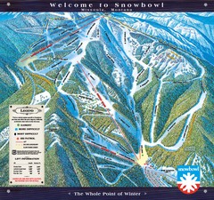
Montana Snowbowl Ski Trail Map
Trail map from Montana Snowbowl.
450 miles away

Missoula, Montana City Map
454 miles away
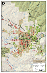
Missoula Bike Trails Map
Road and Mt. Bike trails with a bit of topology near Missoua
454 miles away

Missoula Trail System Map
Basic Map of Hike/Bike/Run Trail system for Missoula MT
454 miles away
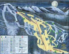
Marshall Mountain Ski Trail Map
Trail map from Marshall Mountain.
457 miles away
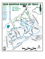
Bear Mountain Nordic Ski Trail Map
Trail map from Bear Mountain.
459 miles away
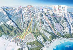
Tamarack Ski Trail Map
Official ski trail map of Tamarack ski area from the 2007-2008 season.
459 miles away
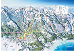
Tamarack Resort Ski Trail Map
Trail map from Tamarack Resort, which provides downhill, nordic, and terrain park skiing. It has 7...
460 miles away
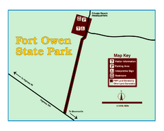
Fort Owen State Park Map
Fort Owen’s adobe and log remains preserves the site of the first permanent white settlement...
461 miles away

Canyon Ski Area Ski Trail Map
Trail map from Canyon Ski Area, which provides downhill skiing. This ski area has its own website.
462 miles away
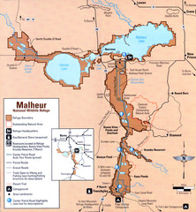
Malheur National Wildlife Refuge Map
Detailed Map of the Malheur Wildlife Refuge in Oregon showing places of interest, roads and...
466 miles away
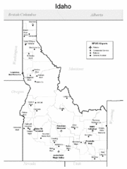
Idaho Airports Map
471 miles away
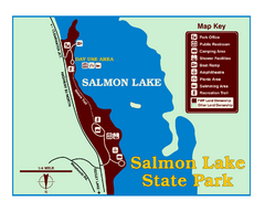
Salmon Lake State Park Map
Immediately adjacent to Montana 83, this park is an access point to one of the beautiful lakes in...
474 miles away
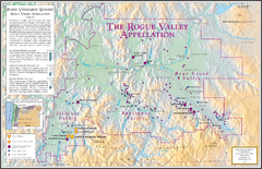
Oregon Rogue Valley wineries Map
Southern Oregon's Rogue Valley wineries
475 miles away
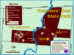
Travelers' Rest State Park Map
The Lewis and Clark expedition camped here twice during their historic journey to locate the...
477 miles away
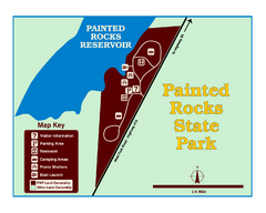
Painted Rocks State Park Map
Located in the scenic Bitterroot Mountains, this 23-acre park offers boating and water sport...
482 miles away
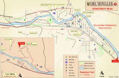
Drumheller Pedestrian Trail Map
483 miles away
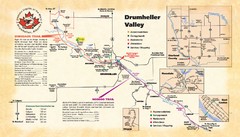
Drumheller Valley Tourist Map
Tourist map shows trails and points of interest of area around Drumheller, Alberta.
483 miles away
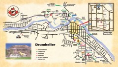
Drumheller Tourist Map
Tourist map of Drumheller, Alberta. Shows accommodations, campgrounds, restaurants, attractions...
483 miles away

Bear Creek Greenway Map
Trail map of the Bear Creek Greenway connecting Central Point to Ashland, Oregon. Will eventually...
483 miles away
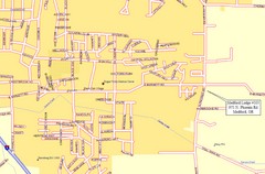
Medford, Oregon City Map
483 miles away

Nisga'a Commercial Recreation Area Map
Guide to commercial recreation in aboriginal lands in British Columbia
485 miles away
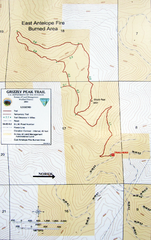
Grizzly Peak Trail Map
Topographic trail map of Grizzly Peak near Ashland, Oregon. Shows trails and distances. From...
488 miles away
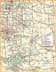
Southern Alberta Map
Shows highways, cities and towns, national/provincial parks and recreation areas, UNESCO World...
490 miles away
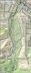
Lithia Park Trail Map
Trail map of Lithia Park in town of Ashland, Oregon. Adjacent to the Oregon Shakespeare Festival.
493 miles away
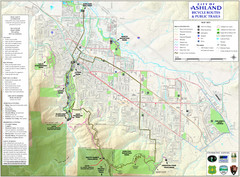
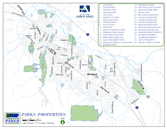
Ashland Trails Map
Trail map of Ashland, Oregon. Shows bicycle routes and public parks and trails.
493 miles away

BTS Route Map
Map of BTS bus routes throughout Klamath Falls
494 miles away
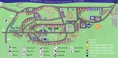
Devon Lions Park Campgrounds Map
494 miles away
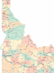
Idaho Road Map
495 miles away
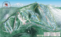
Lost Trail Powder Mountain Ski Trail Map
Official ski trail map of Lost Trail Powder Mountain ski area
496 miles away
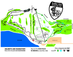
Rabbit Hill Ski and Snowboard Center Mountain...
Trail map from Rabbit Hill Ski and Snowboard Center, which provides downhill skiing. This ski area...
496 miles away
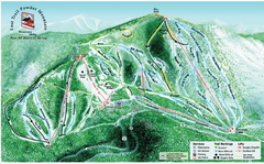
Lost Powder Mountain Ski Trail Map
Trail map from Lost Trail Powder Mountain.
496 miles away

