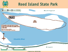
Reed Island State Park Map
Map of park with detail of trails and recreation zones
262 miles away
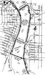
Portland Oregon downtown walk Map
Walk from the Amtrak Station to the Oregon Museum of Science and Industry. 4 miles round trip...
262 miles away
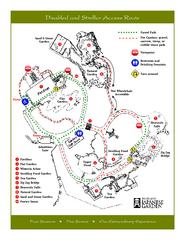
Portland Japanese Garden Map
So Far My favorite Japanese Garden
262 miles away
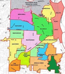
Portland, Oregon Neighborhood Map
262 miles away
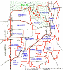
Portland, Oregon Neighborhood Map
262 miles away
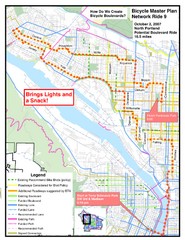
Portland, Oregon Bike Map
262 miles away
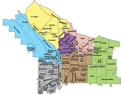
Portland, Oregon Neighborhood Map
262 miles away
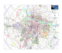
Portland, Oregon Tourist Map
262 miles away
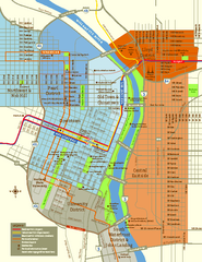
Central Portland, Oregon Map
Tourist map of Portland, Oregon. Shows museums, sports arenas, parks, and public transportation.
262 miles away
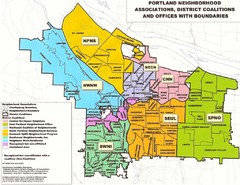
Portland Neighborhood Map
Shows neighborhood associations of Portland, Oregon.
263 miles away
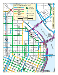
North Downtown Portland Bike Parking Map
Biking map of northern downtown Portland, Oregon. Shows bike paths, parking, and stores.
263 miles away
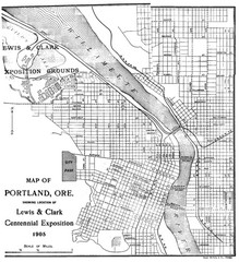
Portland, Oregon Map
Map of Portland, Oregon during centennial exposition of the Lewis & Clark Exploration...
263 miles away
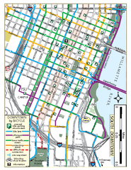
South Downtown Portland Bike Map
Biking map of southern downtown Portland, Oregon. Shows bike paths, bike parking, and bike shops.
263 miles away
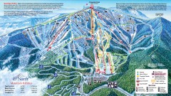
49 Degrees North Ski Trail Map
Official ski trail map of ski area from the 2007-2008 season.
263 miles away
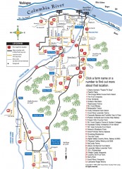
Hood River County Fruit Loop map
35-mile scenic drive through the valley's orchards, forests, farmlands, and friendly...
263 miles away
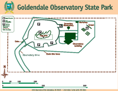
Goldendale State Park Map
Map of park with detail of trails and recreation zones
263 miles away
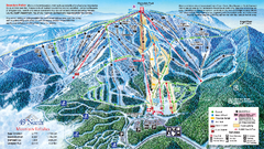
49 North Mountain Resort Ski Trail Map
Trail map from 49 North Mountain Resort, which provides downhill, night, nordic, and terrain park...
263 miles away
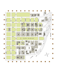
Portland State University Map
Campus Map of Portland State University. All buildings shown.
263 miles away
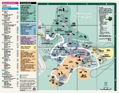
Oregon Zoo Map 2009
263 miles away
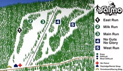
Salmo Ski Area Ski Trail Map
Trail map from Salmo Ski Area, which provides downhill skiing. This ski area has its own website.
264 miles away
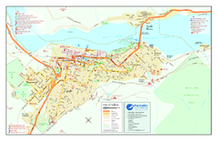
Nelson BC Town Map
264 miles away
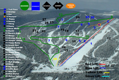
2004–07 Troll Downhill Map
Trail map from Troll. This ski area opened in 1972.
265 miles away
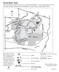
Powell Butte Nature Park Trail Map
Trail map of Powell Butte Nature Park. Shows over 9 miles of trails
266 miles away
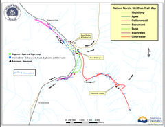
Nelson Nordic Ski Trail Map
Trail map from Nelson Nordic, which provides night and nordic skiing. This ski area has its own...
267 miles away
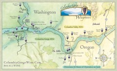
Columbia Gorge Wine Map
Wineries of the Columbia River Gorge area, Oregon.
268 miles away

Happy Valley Oregon Road Map
268 miles away

Tigard Oregon Road Map
269 miles away

Lake Oswego Oregon Road Map
270 miles away
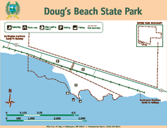
Dougs Beach State Park Map
Map of park with detail of trails and recreation zones
270 miles away
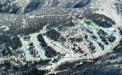
Whitewater Ski Resort Silver King Ski Trail Map
Trail map from Whitewater Ski Resort.
270 miles away
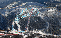
Whitewater Ski Resort Summit Ski Trail Map
Trail map from Whitewater Ski Resort.
270 miles away

King City Oregon Road Map
270 miles away
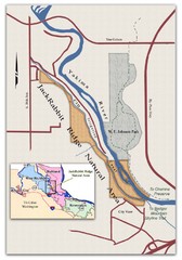
JackRabbit Ridge Natural Area Map
Shows urban wildlands
273 miles away
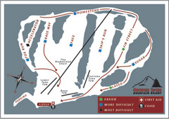
Cooper Spur Ski Area Ski Trail Map
Trail map from Cooper Spur Ski Area.
273 miles away
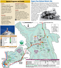
Glacier National Park and Revelstoke National...
Official park map of Glacier National Park and Revelstoke National Park in British Columbia, Canada.
274 miles away
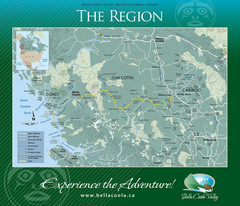
Bella Coola Valley Region Map
Shows large region around Bella Coola, British Columbia, from the northern tip of Vancouver Island...
276 miles away
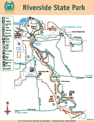
Riverside State Park Map
Map of park with detail of trails and recreation zones
277 miles away
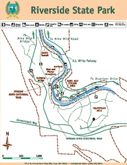
Riverside State Park Map
Map of park with detail of trails and recreation zones
277 miles away
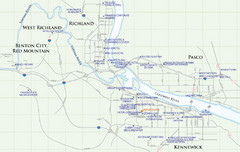
Kennewick Hotel Map
278 miles away


