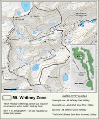
Mt. Whitney Zone Map
Zone map of Mt. Whitney area. Shows trail from Whitney Portal and Zone requiring Limited Use...
134 miles away
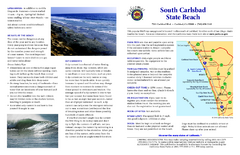
South Carlsbad State Beach Campground Map
Map of beach and park with detail of trails and recreation zones
136 miles away
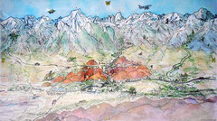
Lone Pine Map
Panorama tourist map of town of Lone Pine, California with surrounding area including the Alabama...
138 miles away
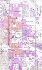
Palm Springs California City Map
138 miles away
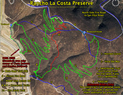
Rancho La Costa Preserve Trail Maps Map
Mountain Biking Trail Map for Rancho La Costa Preserve near San Diego.
140 miles away
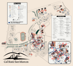
Cal State San Marcos Campus Map
Campus map of Cal State San Marcos in San Marcos, CA
140 miles away
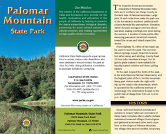
Palomar Mountain State Park Map
Map of park with detail of trails and recreation zones
140 miles away
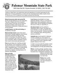
Palomar Mountain State Park Campground Map
Map of campground region of park with detail of trails and recreation zones
140 miles away
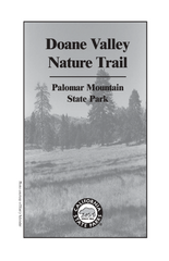
Palomar Mountain State Park Trail Map
Map of doane valley trail in park
141 miles away
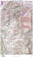
Palm Canyon Epic Trail Map
Upper Trailhead Map. Topo map marked with detail route and notes for ride.
141 miles away
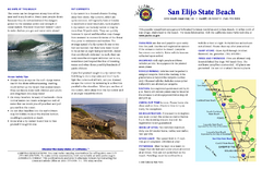
San Elijo State Beach Campground Map
Map of campground region of beach and park with detail of trails and recreation zones
142 miles away
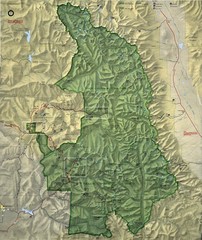
King Canyon and Seqouia Nationa Parks Map
142 miles away
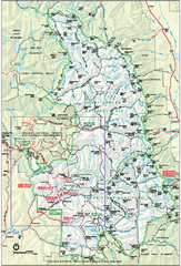
Sequoia National Park map and Kings Canyon...
Official park map of Sequoia National Park and Kings Canyon National Park.
142 miles away
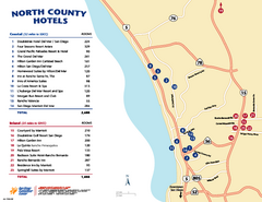
North County San Diego Tourist Map
Tourist map of North County area of San Diego, with hotel listings
142 miles away
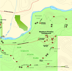
San Simeon State Park East Map
Map of east region of park with detail of trails and recreation zones
149 miles away

San Simeon State Park Map
Map of park with detail of trails and recreation zones
149 miles away
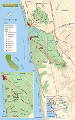
Torrey Pines State Beach and Reserve Map
Topo map of Torrey Pines State Beach and Reserve near San Diego, CA. Rated the #9 beach in America...
149 miles away
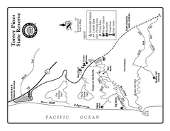
Torrey Pines State Reserve Trail Map
Map of park with detail of trails and recreation zones
149 miles away
Torrey Pines State Park Map
Map of park with detail of trails and recreation zones
149 miles away

Death Valley National Park Map
149 miles away
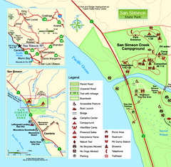
San Simeon State Park West Map
Map of west region of park with detail of trails and recreation zones
149 miles away
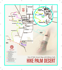
Palm Desert Hiking Trail Map
Trail map of Palm Desert, California. Shows hiking trails leaving right from town
149 miles away
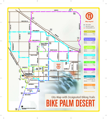
Palm Desert Biking Map
Biking route and trail map of Palm Desert, California
149 miles away
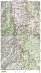
Palm Canyon Epic Map
Palm Canyon Trail - This point-to-point route takes you through a varied array of desert trails...
150 miles away
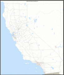
California Zip Code Map
Check out this Zip code map and every other state and county zip code map zipcodeguy.com.
150 miles away
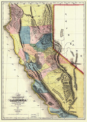
1851 California Regional Map
Great quality map of Californian regions in 1851.
150 miles away
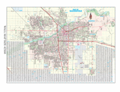
Bakersfield, California City Map
150 miles away
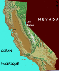
California elevation Map
California map showing elevations by contours, with Lake Tahoe identified.
150 miles away
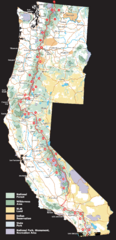
Pacific Crest Trail Route Overview Map
Western United States Map showing National Forests, State Parks, National Parks, Indian...
150 miles away
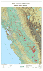
Dairy Locations and Herd Size for the Central...
Map of dairy locations, displayed by herd size in California's Central Valley. Base map...
150 miles away
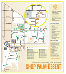
Palm Desert Shopping Map
Visitor map/shopping guide of Palm Desert
150 miles away
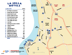
La Jolla Tourist Map
Tourist map of La Jolla, with hotel listings
152 miles away
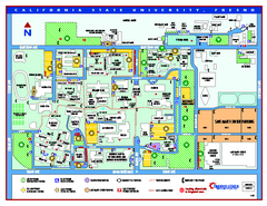
California State University - Fresno Map
California State University - Fresno Campus Map. All areas shown.
154 miles away
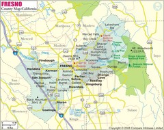
Fresno, California City Map
154 miles away
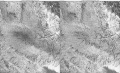
Toro Peak Elevation Map
Created with PALSAR Technology.
155 miles away
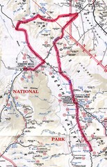
Death Valley Guide Map
155 miles away
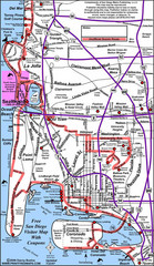
Pacific Beach, San Diego Tourist Map
156 miles away
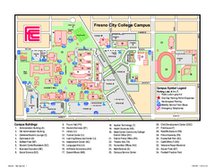
Fresno City College Campus Map
Fresno City College Campus Map. Shows all areas.
156 miles away
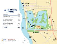
Mission Bay Tourist Map
Tourist map of the Mission Bay area of San Diego, with hotel listings
158 miles away

