
Kern County Map
50 miles away
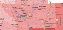
Bakersfield's Location in Kern County Map
50 miles away
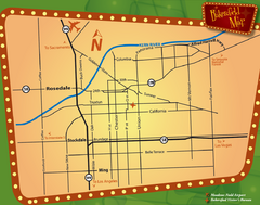
Bakersfield Overview Map
Shows major streets and highways in Bakersfield, CA
50 miles away
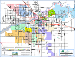
Bakersfield Police Beats Map
50 miles away

Bakersfield California 1889 Map
Map of Bakersfield, CA, showing the first subdivision of lands belonging to J. B. Haggin, 1889
50 miles away

Bakersfield E Zone map
City of Bakersfield Economic & Community Development supports economic diversity, civic growth...
50 miles away
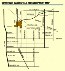
Downtown Bakersfield Redevelopment Area Map
The Downtown Redevelopment Area was established in 1972 and expanded in 1974, 1976, and 1979. It...
50 miles away

Orange Grove RV Park, Bakersfield California Map
50 miles away

Bakersfield City Limits Map
50 miles away
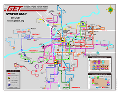
Bakersfield California Bus System Map (G.E.T. Bus)
Entire system map of all routes Golden Empire Transit offers in the City of Bakersfield, California.
50 miles away
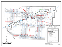
Metropolitan Bakersfield General Plan &ndash...
This map depicts the Circulation Element of the Metropolitan Bakersfield General Plan. This is a...
50 miles away
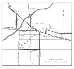
Bakersfield, 1944 Map
Official California State Division of Highways Map
50 miles away
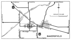
Bakersfield, 1934 Map
Official California State Division of Highways Map
50 miles away
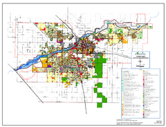
City of Bakersfield Zoning Map
This map depicts zoning for the City of Bakersfield. This map is not the official zoning map for...
50 miles away
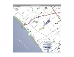
North Beach Cities, Los Angeles, California Map
Tourist map of the North Beach cities near Los Angeles, California. Beaches, shopping, and a...
50 miles away
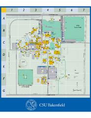
California State University Bakersfield Map
Campus map of California State University Bakersfield.
51 miles away
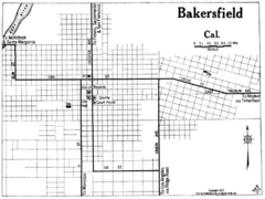
Bakersfield California, 1917 Map
51 miles away
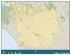
Ballona Wetlands Map
The Ballona Creek watershed, approximately 130 square miles, is the largest watershed draining into...
51 miles away

Town & Country Village Shopping Center in...
51 miles away
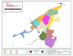
Culver City Neighborhood Map
Map shows official neighborhood zones of Culver City, California
51 miles away
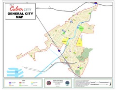
Culver City Map
General city map of Culver City, California. Shows the city boundary, schools, parks and other...
51 miles away
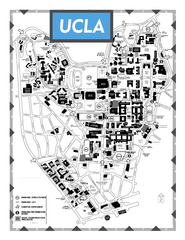
University of California - Los Angeles Map
Campus Map of the University of California - Los Angeles. All buildings shown.
51 miles away
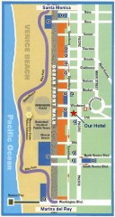
Venice Beach map
Walking map for Venice Beach in Los Angeles, California.
51 miles away
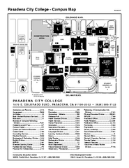
Pasadena City College Campus Map
Pasadena City College Campus Map. Shows all areas.
51 miles away
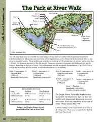
The Park at Riverwalk, Bakersfield California Map
Map of The Park at Riverwalk in Bakersfield California, including the fees for reservable areas.
51 miles away
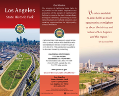
Los Angeles State Historic Park Map
Map of park with detail of trails and recreation zones
51 miles away

Downtown L.A. walking tour map
Walking tour map of Downtoan Los Angeles near the Civic Center, including the Arts District.
52 miles away
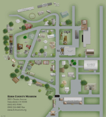
Kern County Museum Map
52 miles away

Downtown Los Angeles, California Map
Tourist map of Downtown Los Angeles, California. Shows theaters, museums, public transportation and...
52 miles away
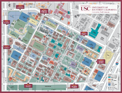
University of Southern California Map
Campus Map of the University of Southern California. All buildings shown.
52 miles away
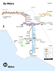
Los Angeles Metro Rail system map
Official map of the LA Metro Rail system. Comprised of the Metro Blue, Green, Red, Purple and Gold...
52 miles away

Bakersfield Commons Conceptual Site Plan Map
52 miles away

Bakersfield Commons Phase 1 Alt Map
52 miles away

Bakersfield Commons Existing and Proposed Zoning...
52 miles away
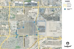
Bakersfield Commons Noise Monitoring Map
52 miles away

Bakersfield Commons Site Existing Conditions Map
52 miles away

Bakersfield Commons Proposed Retention Areas Map
52 miles away
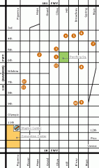
Downtown L.A. arts tour map
Self-Guided walking tour map of Downtown Los Angeles with a focus on the arts
52 miles away
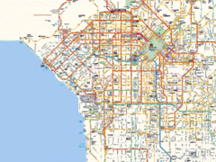
West Los Angeles Starbucks & Chase Map
52 miles away
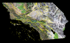
Southern California's Major Faults Map
As you can see by examining a fault map of southern California or a satellite image showing...
52 miles away

