
Ronald Reagan ULCA Medical Center Map
Pocket Map to the medical center campus
46 miles away
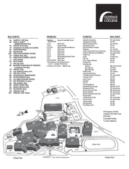
Glendale Community College Campus Map
Glendale Community College Campus Map. Shows all buildings.
46 miles away
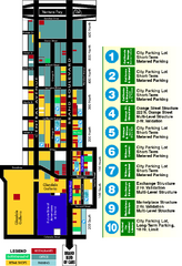
Downtown Glendale, California Map
Tourist map of downtown Glendale, California. Locations of retail, restaurants, entertainment and...
46 miles away
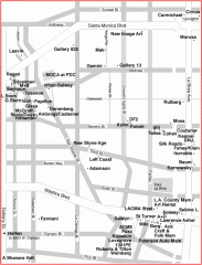
West Hollywood Art Gallery map
Art Gallery map of West Hollywood in Los Angeles
46 miles away
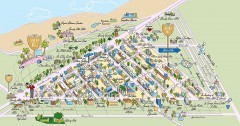
Beverly Hills, California Map
Tourist map of Beverly Hills, California. Shopping, restaurants, lodging and points of interest are...
46 miles away
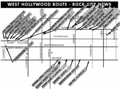
West Hollywood - Rock City News Map
Nightclubs, record stores, tattoo shops, etc.
46 miles away
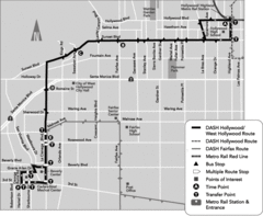
West Hollywood Area DASH Bus Routes Map
46 miles away
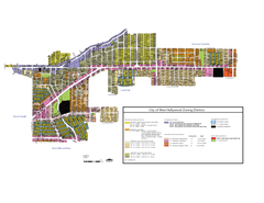
West Hollywood Zoning Map 10/08/09
46 miles away
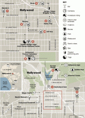
Hollywood map
Walking tour map of Hollywood, California, showing restaurants, shopping, and points of interest.
47 miles away
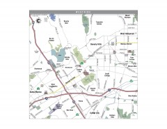
Westside Los Angeles, California Map
Tourist map of the Westside area of Los Angeles, California. Museums, parks, the UCLA campus, and...
47 miles away
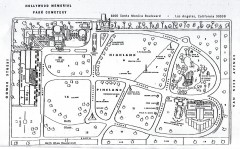
Hollywood Memorial Cemetery map
Map of Hollywood memorial Cemetery, showing celebrity gravesites.
47 miles away
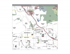
Hollywood, California Map
Tourist map of Hollywood, California. Museums, parks, visitor centers and media centers are shown...
48 miles away
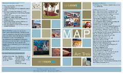
Art Trek Tour Map, Santa Monica, California
Art Trek tour map of 93 of the 120+ museums, art galleries and public displays in Santa Monica...
48 miles away
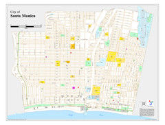
Santa Monica City Map
City map of Santa Monica, California
48 miles away
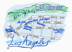
Los Angeles - hand drawn map
illustrated hand-drawn map produced for British airways - First Life magazine.
48 miles away

Buena Vista Aquatic Recreation Area, Lake Webb...
48 miles away
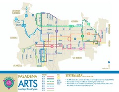
Pasadena ARTS (Area Rapid Transit System) Map
Pasadena A.R.T.S. (Metro) Route Map. System map of all train routes, streets and surrounding...
48 miles away
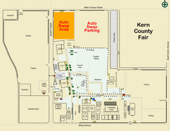
Bakersfield's Auto Swap Meet Map
48 miles away
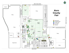
Kern County Fair Map
48 miles away
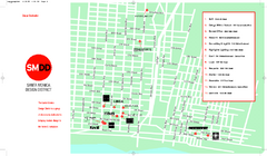
Design District, Santa Monica, California Map
Map of modern design showrooms in downtown Santa Monica, California.
48 miles away
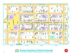
Downtown Santa Monica walking map
Detailed tourist map of Downtown Santa Monica and the Third Street Promenade in Los Angeles...
48 miles away
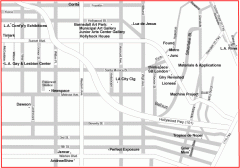
Hollywood, Silverlake, and Echo Park gallery map
Art Gallery map of Hollywood, Silverlake, and Echo Park in Los Angeles, California
48 miles away
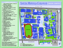
Santa Monica College Campus Map
Santa Monica College Campus Map. Shows all buildings.
48 miles away
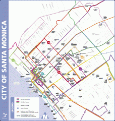
Big Blue Bus Lines in Downtown Santa Monica...
Map of bus lines serving downtown Santa Monica, California. Also shows points of interest such as...
48 miles away
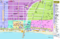
Santa Monica, California Map
Tourist map of Santa Monica, California, showing lodging, museums, visitor centers, and other...
49 miles away

Buena Vista Lakes Map
Buena Vista Aquatic Recreation Area is located off of Taft Highway, 23 miles southwest of...
49 miles away
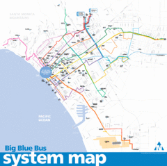
Big Blue Bus System Map
49 miles away
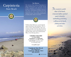
Carpinteria State Beach Map
Map of beach with detail of trails and recreation zones
49 miles away
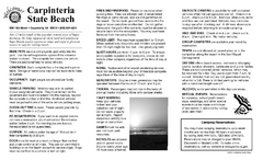
Carpinteria State Beach Campground Map
Map of park with detail of trails and recreation zones
49 miles away

California Aquaduct Map in Kern County
The California Aqueduct is the principal water conveyance structure for the California State Water...
49 miles away
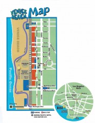
Venice Beach map
Map of Venice Beach. Shows streets and parking spots, as well as the Marina Pacific Hotel.
49 miles away
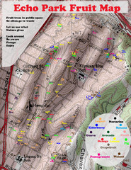
Elysian Park Fruit Map
Shows fruit growing in Elysian Park, Los Angeles (map erroneously calls it Echo Park)
50 miles away

Kern County California Map
50 miles away

Kern County District Supervisor Areas Map
Last Modified 12/13/2005
50 miles away
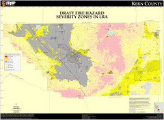
Fire Hazard Severity Zones, Kern County...
Fire Hazard Severity Zones, Kern County California: Local Responsibility Area
50 miles away

Fire Hazard Severity Zones, Kern County...
Fire Hazard Severity Zones, Kern County California: State Responsibility Area
50 miles away

Census Places and Cities in Kern County...
50 miles away

Kern County, 1916 Map
Kern County, 1916 Map, from California Mineral Production for 1919 (with County Maps), Bulletin No...
50 miles away

Kern County Boat Ramps Locator Map
The numbered locations can be found at http://www.boatrampslocator.com/california-kern-county-boat...
50 miles away
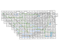
Awareness Floodplain Maps, Kern County Map
The maps labeled in blue have completed Awareness Floodplain Maps. The maps labeled in black are...
50 miles away

