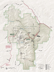
Pinnacles National Monument Map
185 miles away
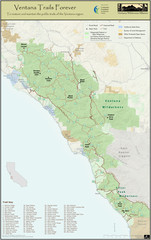
Ventana Wilderness Trails Map
Trail map of the Ventana Wilderness east of Big Sur. Also shows trails in the Silver Peak...
187 miles away

Rosarito Beach Map
188 miles away
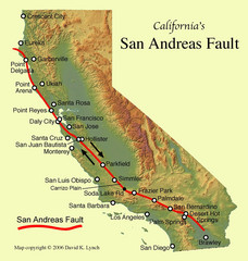
San Andreas Fault, California Map
191 miles away
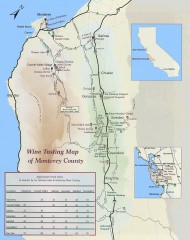
Wine tasting map of Monterey County
Wine tasting map of Monterey County, California, showing vineyards, wineries, and approximate drive...
192 miles away
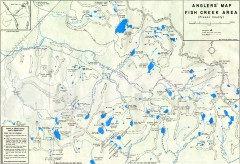
Fish Creek Area Anglers' Map
Hand-drawn fishing map of lakes, peaks, and trails in the Fish Creek Area of the John Muir...
196 miles away
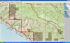
Timber Top, Big Sur Map
Route we climbed to Timber Top in Big Sur. Very steep trail.
198 miles away
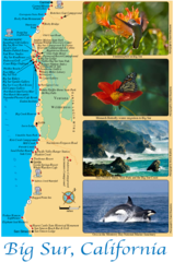
Big Sur Map
Tourist map of Highway 1 area near Big Sur, California
203 miles away

Relative Motion of Pacific and North American...
Diagram illustrating the plate-tectonic setting of southern California (image source: USGS general...
204 miles away
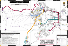
Mammoth Town Map
Town of Mammoth Lakes with shuttle lines included
204 miles away
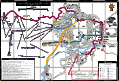
Mammoth Town Map
Map of Mammoth, including shuttle lines
204 miles away
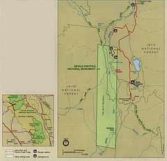
Devil's Postpile National Monument Map
204 miles away
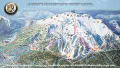
Mammoth Mountain Ski Trail map 2005
Official ski trail map of Mammoth Mountain ski area from the 2005-2006 season.
205 miles away

Mammoth Mountain Downhill Skiing Trails Map
Downhill skiing trails on Mammoth Mountain, near Mammoth Lakes, California. Shows trails and their...
205 miles away
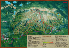
Mammoth Mountain Bike Park Map
Shows all trails at the Mammoth Mountain Bike Park.
205 miles away
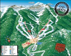
Las Vegas Ski & Snowboard Resort Ski Trail Map
Official ski trail map of Las Vegas Ski & Snowboard Resort (LVSSR) from the 2007-2008 season.
205 miles away

Mammoth Mountain Ski Trail Map
Trail map from Mammoth Mountain, which provides downhill, nordic, and terrain park skiing. It has...
205 miles away

Las Vegas Ski & Snowboard Resort Ski Trail Map
Trail map from Las Vegas Ski & Snowboard Resort, which provides downhill skiing.
205 miles away
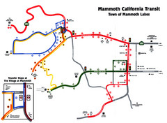
Mammoth Transit Map
Map of Mammoth transit system
205 miles away

Mi-Wok OHV Trail Map
Trail Maps for Off Road Bikes in Stanislaus National Forest
205 miles away
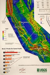
California Faults and Earthquake Probablity...
The Uniform California Earthquake Rupture Forecast map hangs at a press conference where...
206 miles away
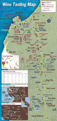
Monterey area wineries map
Map of wineries with public tasting rooms in the Monterey area
209 miles away
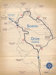
Red Rock Canyon Trail Map
Hiking trail map
210 miles away
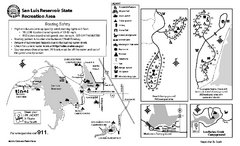
San Luis Reservoir State Recreation Area...
Map of campground region of park and reservoir with detail of trails and recreation zones
211 miles away

San Luis Reservoir State Recreation Area Map
Map of park and reservoir with detail of trails and recreation zones
211 miles away

Fremont Peak State Park Map
Map of park with detail of trails and recreation zones
212 miles away
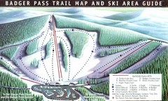
Badger Pass Ski Trail Map
Official ski trail map of Badger Pass ski area
212 miles away

Pacheco State Park Map
Map of park with detail of trails and recreation zones
213 miles away

Toro County Park Map
Trails of Toro County Park, Salinas Ca.
213 miles away
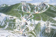
June Mountain Ski Trail Map
Official ski trail map of June Mountain ski area from the 2007-2008 season.
213 miles away
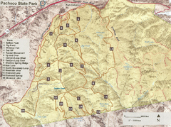
Pacheco State Park Trail Map
Map of park with details of different trails
214 miles away

Laguna Seca Raceway Map
Overview map of the Laguna Seca Raceway. Shows track, parking, and facilities.
215 miles away

John Muir Trail Elevation Map
Profile, Elevation, Landmarks and Mileage for the John Muir Trail entertainment not accurate enough...
215 miles away
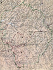
Yosemite National Park Map
Yosemite National Park Map. Shows location of all hiking trails, camp grounds, visitor center and...
215 miles away
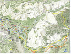
Half Dome view from Glacier Point Map
216 miles away
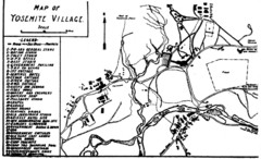
Yosemite Village Guide Map
217 miles away
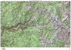
Island Pass to Yosemite Village Topo Map
217 miles away
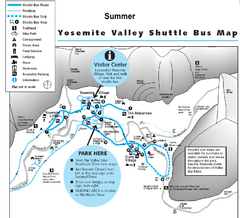
Yosemite Valley Shuttle Map
217 miles away
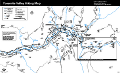
Yosemite Valley Trail Map
Trail map of hiking trails in Yosemite Valley, Yosemite National Park, California.
217 miles away


