Cabrillo National Monument Map
163 miles away

San Joaquin Valley Air Basin Map
This map is used to track air monitoring locations in periodic progress reports.
163 miles away
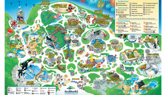
SeaWorld San Diego Theme Park Map
SeaWorld's San Diego Theme Park map. Take a look at all of SeaWorld's awesome exhibits...
164 miles away
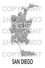
Urban Neighborhood Map: San Diego Map
This Urban Neighborhood Poster of San Diego is a modern twist on traditional maps. The typography...
164 miles away

San Diego Map
164 miles away
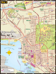
Central San Diego Tourist Map
164 miles away
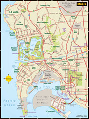
Central San Diego Tourist Map
164 miles away
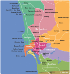
San Diego County Tourist Map
164 miles away
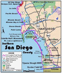
San Diego Beach Map
164 miles away
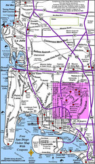
San Diego City Map
164 miles away
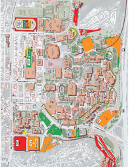
San Diego State University Map
Campus map of San Diego State University. All areas shown.
164 miles away
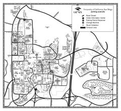
University of California at San Diego Map
University of California at San Diego Campus Map. All area's shown.
164 miles away
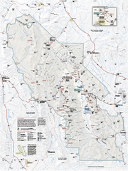
Death Valley National Park map
Official NPS map of Death Valley National Park. Shows all roads (paved and unpaved), 4 wheel drive...
165 miles away
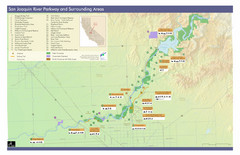
San Joaquin River Parkway Map
Map of the San Joaquin River Parkway. "The San Joaquin River Parkway is a mosaic of parks...
167 miles away
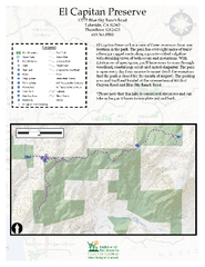
El Capitan Preserve Map
El Capitan Preserve has a view of three reservoirs from one location in the park. The park has...
167 miles away
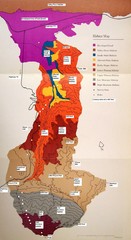
Habitat/Elevation Map of the Sant Rosa Mountains
Deep Canyon, with detailed descriptions of the major plant communities as they change with...
168 miles away
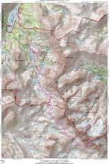
North Palisade South Lake Route Topo Map
Topo map of route from South Lake to North Palisade, 14,242 ft.
169 miles away

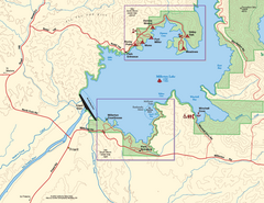
Millerton Lake State Recreation Area Park Map
Map of park with detail of trails and recreation zones
170 miles away
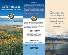
Millerton Lake State Recreation Area Map
Map of park with detail of trails and recreation zones
170 miles away
Millerton Lake State Recreation Area SW Map
Map of SW region of park with detail of trails and recreation zones
170 miles away
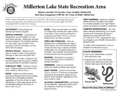
Millerton Lake State Recreation Area Campground...
Map of campground region of park with detail of trails and recreation zones
170 miles away
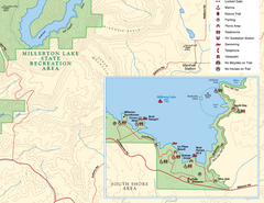
Millerton Lake State Recreation Area SE Map
Map of SE region of park with detail of trails and recreation zones
170 miles away
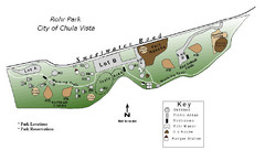
Rohr Park Map
170 miles away

Millerton Lake State Recreation Area NE Map
Map of NE region of park with detail of trails and recreation zones
170 miles away
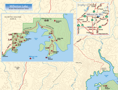
Millerton Lake State Recreation Area NW Map
Map of NW region of park with detail of trails and recreation zones
171 miles away
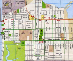
Imperial Beach, San Diego Map
173 miles away

Sierra High Route Map
Guide to the Sierra High Route, one of the most challenging treks in the Sierras
173 miles away
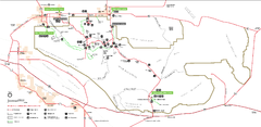
Joshua Tree National Park Official Park Map
Official NPS map of Joshua Tree National Park in California. Map shows all areas. The park is...
173 miles away
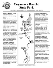
Cuyamaca Rancho State Park Campground Map
Map of park with detail of trails and recreation zones
174 miles away
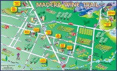
Madera wine map
Tourist map of Madera, California showing Madera Vinters and area wineries.
175 miles away
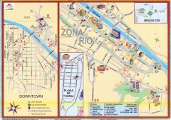
Tijuana Tourist Map
Shows major streets in downtown and Zona Rio of Tijuana, Mexico.
178 miles away
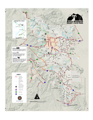
Anza-Borrego Desert State Park Map
Map of park with detail of trails and recreation zones
181 miles away
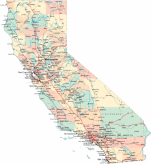
California Road Map
181 miles away

California Counties Map
181 miles away

Limeklin State Park Map
Map of park with detail of trails and recreation zones
182 miles away
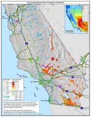
Concentrating Solar Power Prospects California Map
Shows power plants, concentrating solar resources, and transmission lines for all of California...
182 miles away
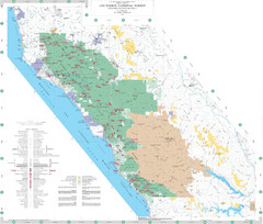
Los Padres National Forest Map - North
Overview map of the northern section of Los Padres National Forest in the Monterey Ranger District...
182 miles away

Montery Bay Sea Floor Map
185 miles away


