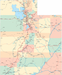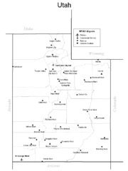
Utah Airports Map
0 miles away
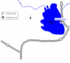
Huntington Lake State Park Map
Take a hike around this beautiful lake.
8 miles away
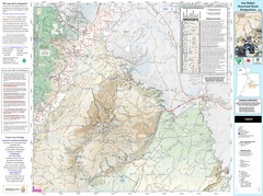
San Rafael, Utah Trail Map
Trails and main roads near Manti-LaSal National Forest and Castle Dale in Emery County, Utah
8 miles away
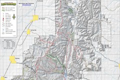
Utah Arapeen OHV Trail System- North Map
The Utah Arapeen OHV Trail System located in near the Towns of Fairview, Ephraim, and Mant, Utah.
14 miles away
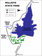
Millsite State Park Map
Camp in the quiet campground, and boat and fish on the blue waters of Millsite Reservoir. Play 18...
16 miles away
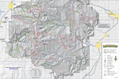
Utha Arapeen OHV Trail System- South Map
Utah Arapeen OHV Trail System map. Located near the towns of Fairview, Ephraim, and Manti, Utah.
22 miles away
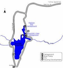
Scofield State Park Map
Camp, boat, and fish at this summer and winter recreation destination situated high in the Manti...
31 miles away
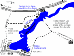
Yuba State Park Map
The sprawling waters of Yuba State Park provide a variety of recreation opportunities for visitors...
44 miles away
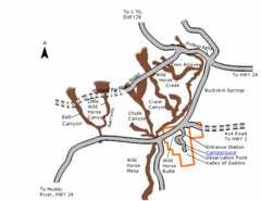
Goblin Valley State Park Map
The vast landscape of sandstone goblins may have visitors wondering if they're in Mars or Utah...
57 miles away
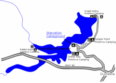
Starvation State Park Map
The sprawling waters of Starvation Reservoir offer great fishing and boating. Find a secluded...
68 miles away
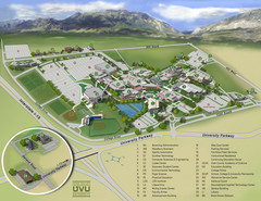
Utah Valley University Map
Campus map
69 miles away
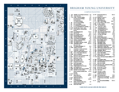
Brigham Young University Map
Campus Map of Brigham Young University in Utah. All buildings shown.
71 miles away
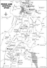
Provo, Utah City Map
71 miles away
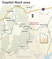
Capitol Reef National Park Map
Clear map marking major highways and cities.
72 miles away
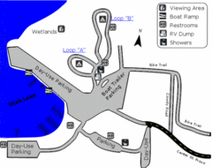
Utah Lake State Park Map
Utah's largest freshwater lake provides fishing access for channel catfish, walleye, white...
72 miles away
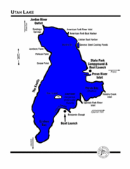
Utah Lake Map
74 miles away
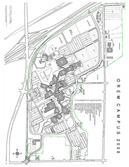
Utah Valley State University Map
Utah Valley State University. All areas shown.
75 miles away

Utah Dinosaur Country Map
77 miles away
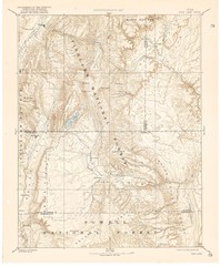
Topo Map of Capitol Reef Region (Fish Lake Quad...
This is one of four USGS maps done by the Powell survey and depicting the area around Capitol Reef...
77 miles away
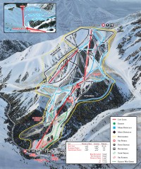
Sundance Ski Trail Map
Official ski trail map of Sundance ski area from the 2007-2008 season.
78 miles away

Timber Lakes Plat 5 Map
80 miles away

Timber Lakes Plat 4 Map
80 miles away
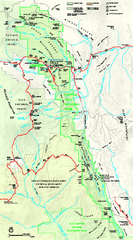
Capitol Reef National Park Official Map
Official NPS map of Capitol Reef National Park in Utah. Map shows all areas. The park and...
80 miles away

Timber Lakes Plat 6 Map
80 miles away

Shaded Relief Timber Lakes Estates Map
80 miles away
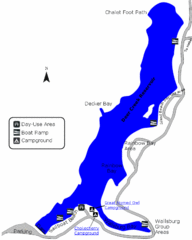
Deer Creek State Park Map
Deer Creek State Park lies in the southwest corner of beautiful Heber Valley and consistently...
80 miles away

Timber Lakes Plat 7 Map
81 miles away

Timber Lakes Plat 11 Map
81 miles away

Timber Lakes Plat 13 Map
81 miles away

Timber Lakes Plat 9 Map
81 miles away

Timber Lakes Plat 14 Map
81 miles away

Timber Lakes Plat 8 Map
81 miles away
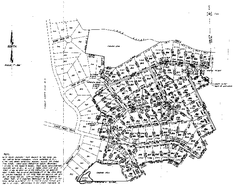
Timber Lakes Plat 8 Map
81 miles away
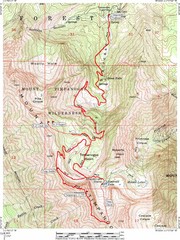
Mount Timpanogos Trail Map
Trail map of Mount Timpanogos 11,749 feet, in the Mount Timpanogos Wilderness Area, Utah. One of...
81 miles away

Timber Lakes Plat 3 Map
81 miles away

Timber Lakes Plat 2 Map
82 miles away
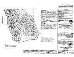
Timber Lakes Plat 12 Map
82 miles away

