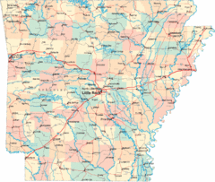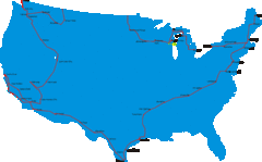
United States Select Cities Map
Approximately twenty cities in the United States.
221 miles away
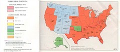
United States in 1870 Map
Map of the United States with territorities color coded and dated for statehood through 1920.
221 miles away
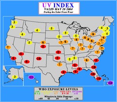
UV Index Map
UV forecast map for May 28, 2004 with exposure levels marked in color.
221 miles away
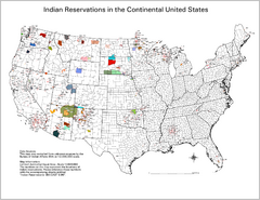
Indian Reservations in the Continental United...
Shows the location of Federal Indian Reservations in the continental United States
221 miles away
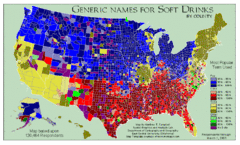
Pop vs Soda US Map
Shows most common names for soft drinks in the US by county. Based on 120,464 respondants.
221 miles away
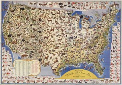
US Wildlife Map
Pictorial map of wildlife and game in the US.
221 miles away
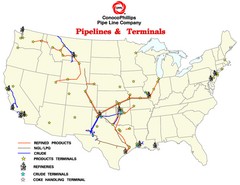
ConocoPhillips Pipelines & Terminals Map
Shows US pipelines & terminals for ConocoPhillips
221 miles away
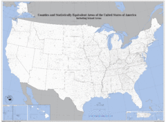
United States County Map
County map of the US
221 miles away
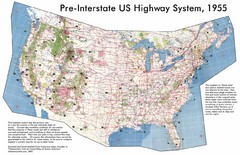
Pre-Interstate US Highway System Map
United States route and highway system pre-interstates, 1955
221 miles away
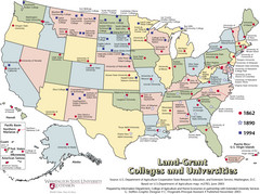
US College and University Land Grant Map
Shows land grants for US colleges and universities from 1862, 1890, and 1994
221 miles away
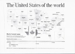
US GDP World Map
Labels each state in the US with the equivalent country in terms of GDP. Scanned.
221 miles away
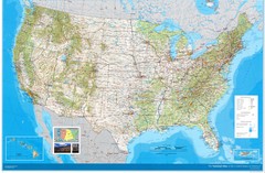
United States Map
Physical relief wall map of the United States.
221 miles away
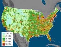
US Carbon Footprint Map
Shows the complete Vulcan Project CO2 emissions (all sectors - those presented in the first three...
221 miles away
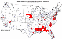
Ludacris' Hoes In Different Area Codes Map
Shows area codes in which rap star Ludacris claims to have hoes from his 2001 single "Area...
221 miles away
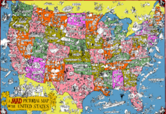
Mad Magazine USA Map
Detailed comedic drawings overlaid on a huge map of the US.
221 miles away
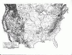
US Map - Landform Outline
Hand-drawn map of the US shows landforms (mountains and rivers) with amazing detail. Map created...
221 miles away
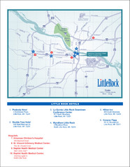
Little Rock Map
222 miles away
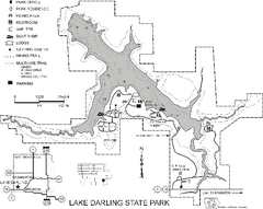
Lake Darling State Park Map
Map of hiking, biking and skiing trails, lake depths and park facilities for Lake Darling State...
223 miles away
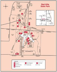
Red Hills, Illinois State Park Site Map
223 miles away

Red Haw State Park Map
Map of trails, lake depths, fishing spots and park facilities in Red Haw State Park.
223 miles away
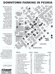
Parking in Downtown Peoria, Illinois Map
Tourist map of downtown Peoria, Illinois, showing locations of public parking.
223 miles away
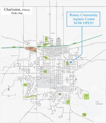
Charleston Town Map
224 miles away
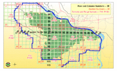
Little Rock City Map
City map of Little Rock, Arkansas with section designations
224 miles away
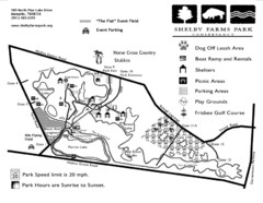
Shelby Farms Park Map
225 miles away
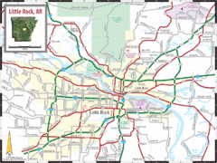
Little Rock, Arkansas City Map
225 miles away

Illinois Counties Map
226 miles away
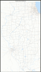
Illinois Zip Code Map
Check out this Zip code map and every other state and county zip code map zipcodeguy.com.
226 miles away
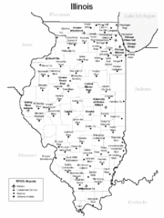
Illinois Airport Map
226 miles away
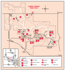
Jubilee College State Park, Illinois Site Map
226 miles away
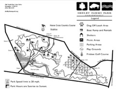
Shelby Farms Park Activities Areas Map
Visitor map of Shelby Farms Park. Shows parameters of dog areas, parking, play grounds, shelters...
226 miles away
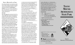
Toltec Mounds Archeological State Park Map
Map of the trails and earthworks sites of the Toltec Mounds Archeological State Park.
226 miles away
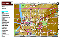
Memphis, Tennessee City Map
227 miles away
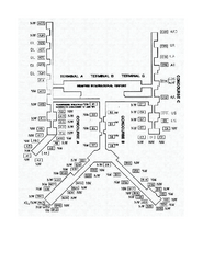
Memphis International Airport Terminal Map
Official Terminal Map of Memphis International Airport. Shows all terminals.
227 miles away
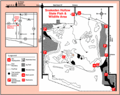
Snakeden Hollow State Park, Illinois Site Map
227 miles away
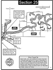
Mount Carmel, IL White River & Wabash River...
This is a page from the White River Guidebook. The map shows important information for boaters and...
227 miles away
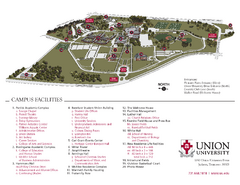
Union University Jackson Campus Map
Campus map of Union University in Jackson, Tennessee
228 miles away
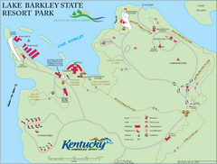
Lake Barkley State Resort Park Map
Map of the trails and facilities of Lake Barkley State Resort Park.
228 miles away
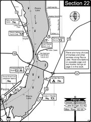
Peoria, IL Illinois River/Peoria Lake Map
For boating navigation and river road travel on the Illinois River.
228 miles away


