
Banner Marsh, Illinois Site Map
205 miles away
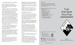
Lake Fort Smith State Park Map
Map of Lake Fort Smith State Park showing visitor center and park amenities.
205 miles away
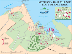
Kentucky Dam Village State Resort Park Map
Map of golf course and facilities for Kentucky Dam Village State Resort Park, one of three state...
206 miles away
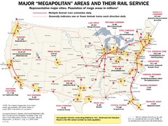
Amtrak Major Railway Map
Guide to major cities and rail lines connecting them
207 miles away
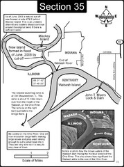
Mount Vernon, IN Wabash River & Ohio River Map
This is a page from the Wabash River Guidebook. The map shows important information for boaters and...
208 miles away
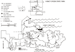
Honey Creek State Park Map
Map of trails, fishing spots and park facilities for Honey Creek State Park.
209 miles away
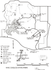
Nine Eagles State Park Map
Map of trails, lake depth and park facilities in Nine Eagles State Park.
209 miles away
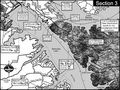
Kentucky Lake Tennesssee River-Land Between the...
This is the upper end of Kentucky Lake which is the Tennessee River. The map is designed for...
212 miles away
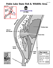
Pekin Lake, Illinois Site Map
215 miles away
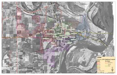
West Memphis City Map
City Map of West Memphis with ward boundaries
216 miles away
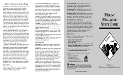
Mount Magazine State Park Map
Map of Mount Magazine State Park showing hiking trails and amenities.
218 miles away

ILO Dillin Habitat Area, Illinois Site Map
218 miles away
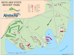
KenLake State Resort Park Map
Map of trails, facilities, and golf course for the KenLake State Resort Park located on the mid...
218 miles away
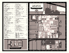
University of Memphis Map
Campus Map of the University of Memphis. All buildings shown.
218 miles away
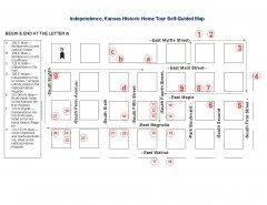
Walking tour of Historic Independence Map
Self-guided walking tour map of Historic Independence, Kansas. Shows historic housing in the...
218 miles away
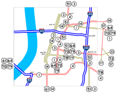
Downtown Memphis Map
Roads and freeways around Memphis.
219 miles away
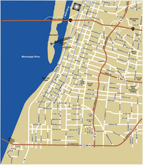
Downtown Memphis Map
219 miles away
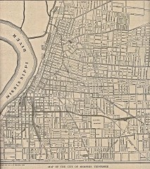
Antique map of Memphis from 1911
Antique map of Memphis, Tennessee from The New Encyclopedic Atlas and Gazetteer of the World. New...
219 miles away
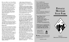
Pinnacle Mountain State Park Map
Map of the Pinnacle Mountain State Park including trails, park sites and amenities.
219 miles away
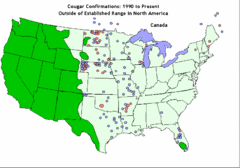
United States Cougar Territory and Eastern...
221 miles away
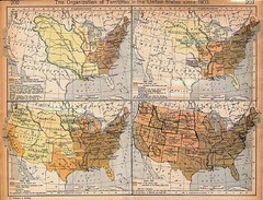
Expansion of United States Territory From 1803...
221 miles away
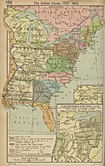
The United States - 1783-1803 Historical Map
221 miles away
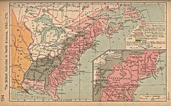
British Colonies - 1763-1776 Historical Map
221 miles away
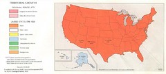
Territorial Expansion in United States - 1920...
221 miles away
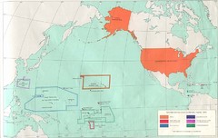
United States Territory - 1970 Historical Map
221 miles away
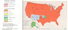
Territorial Expansion in Eastern United States...
221 miles away
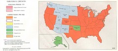
Territorial Expansion in Eastern United States...
221 miles away
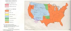
Territorial Expansion in Eastern United States...
221 miles away
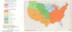
Territorial Expansion in Eastern United States...
221 miles away
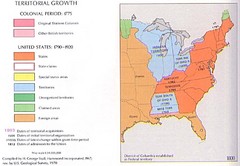
Territorial Expansion in Eastern United States...
221 miles away
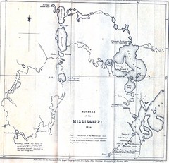
Sources of the Mississippi River - 1834...
221 miles away
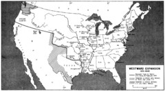
Westward Expansion in the United States 1815-1845...
221 miles away
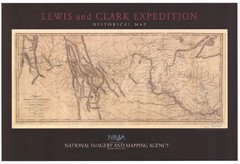
Historical Lewis & Clark Expedition...
221 miles away
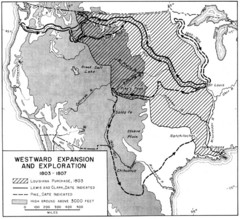
Westward Expansion in the United States 1803-1807...
221 miles away
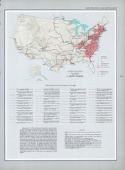
Exploration and Settlement in 1675 Historical...
221 miles away
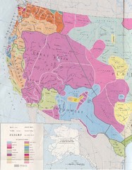
Early Native American Tribes in Western United...
221 miles away
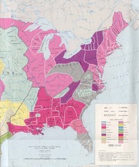
Early Native American Tribes in United States...
221 miles away
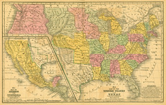
1839 United States Historical Map
221 miles away
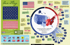
Our Flag: A Graphical Journey Map
A map/timeline that breaks down the visual history of the U.S. flag.
221 miles away
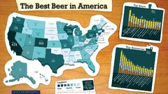
Best Beer in America 2008 Map
This map reveals the best, worst Great American Beer Festival medal winning states over 20 years of...
221 miles away

