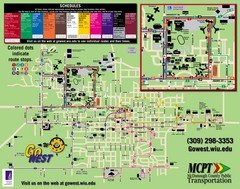
Western Illinois University Tranist Map
Map of Western Illinois University transit map throughout campus and Macomb
183 miles away

Shimek State Forest Hiking Trail Map
Map of hiking trails in Shimek State Forest.
184 miles away
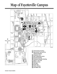
University of Arkansas Map
Campus Map of the University of Arkansas. All buildings shown.
184 miles away
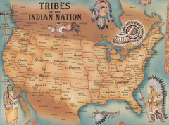
Tribes of the Indian Nation Map
Guide to the native tribes of North America
185 miles away
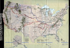
National Trails System Map
Map of all major US trail systems
185 miles away

Shimek State Forest Horse Trail Map
Map of Horse Trail Sytem within Shimek State Forest.
185 miles away
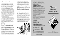
Woolly Hollow State Park Map
Map of Woolly Hollow State Park showing hiking trails and park amenities.
187 miles away
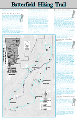
Butterfield Hiking Trail - Devil's Den State...
Butterfield Hiking Trail in Devil's Den State Park detail trail and special points of interest.
190 miles away
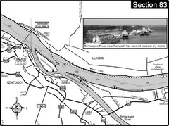
Ohio River & Tennessee River at Paducah, KY...
This is a page from the Ohio River Guidebook. The map shows important information for boaters and...
191 miles away
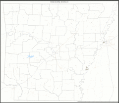
Arkansas Zip Code Map
Check out this Zip code map and every other state and county zip code map zipcodeguy.com.
191 miles away
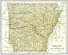
Old Arkansas Map
Old 1892 historical map in great condition.
191 miles away
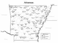
Arkansas Airports Map
191 miles away
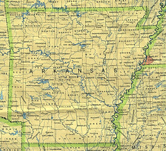
Arkansas County Map
Arkansas divided into counties
191 miles away
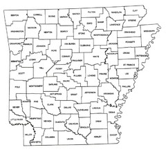
Arkansas Historical County Map
Historical County Map of Arkansas from 1936
191 miles away
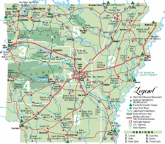
Arkansas State Park Map
Map highlights Arkansas State Parks and tourist areas including towns and major roads.
191 miles away
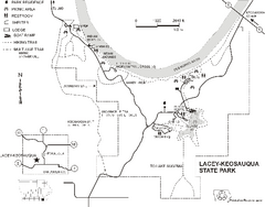
Lacey-Keosauqua State Park Map
Map of trails, indian mounds, lake depths and park facilities for Lacey-Keosauqua State Park.
192 miles away

Shelbyville Fish and Wildlife Area, Illinois Map
193 miles away
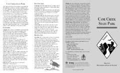
Cane Creek State Park Map
Cane Creek State Park Detail Map showing amenities, camp sites, and lake.
197 miles away

University of Kansas Bus Route Map
197 miles away
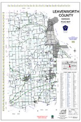
Leavenworth County Road Map
County road map of Leavenworth County, Kansas
197 miles away
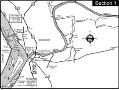
Smithland, KY Cumberland & Ohio Rivers Map
This is the mouth (end) of the Cumberland River as it pours into the Ohio River after flowing 695...
198 miles away
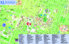
University of Kansas - Main Campus Map
University of Kansas - Main Campus Map. All areas shown.
198 miles away

Edward R. Madigan State Park, Illinois Site Map
198 miles away
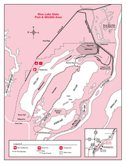
Rice Lake, Illinois Site Map
198 miles away
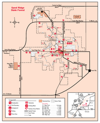
Sand Ridge State Forest, Illinois Site Map
199 miles away

Snow Creek Ski Trail Map
Trail map from Snow Creek.
199 miles away
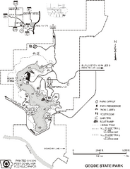
Geode State Park Map
Map of trails, lake depths and park facilities for Geode State Park.
199 miles away
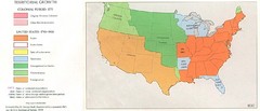
Territorial Expansion in Eastern United States...
200 miles away
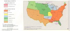
Territorial Expansion in Eastern United States...
200 miles away

Mount Nebo State Park Trail Map
Trail Map of Mount Nebo State Park showing hiking trails and park amenities.
200 miles away
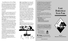
Lake Dardanelle State Park Map
Map of Lake Dardanelle State Park showing park sites, trails and amenities.
200 miles away
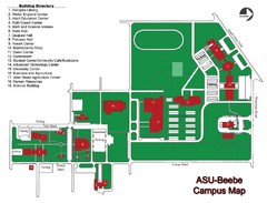
Arkansas State University-Beebe Campus Map
Campus map of Arkansas State University's Beebe campus.
201 miles away
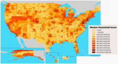
USA Income Map
States Income Inequality Map with color-coded key.
201 miles away
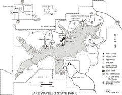
Lake Wapello State Park Map
Map of trails, lake depths and fishing spots at Lake Wapello State Park.
201 miles away
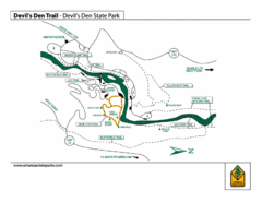
Devil's Den State Park Trail Map
Several trails marked on map for Devil's Den State Park.
202 miles away
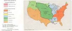
Territorial Expansion in Eastern United States...
203 miles away

Henderson County Wildlife Area, Illinois Site Map
204 miles away
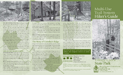
Village Creek State Park Trail Map
Trail map for hiking, bicycles and horses in Village Creek State Park.
205 miles away

