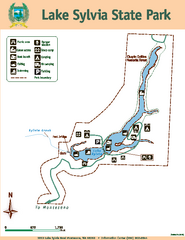
Lake Sylvia State Park Map
Map of island with detail of trails and recreation zones
266 miles away
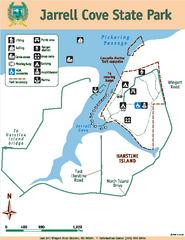
Jarrell Cove State Park Map
Map of park with detail of trails and recreation zones
266 miles away
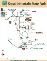
Squak Mountain State Park Map
Map of park with detail of trails and recreation zones
266 miles away
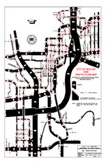
Renton WA Traffic Flow Map
City of Renton, WA traffic flow map
266 miles away
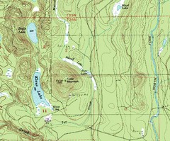
Fuller Mountain Topo Map
Fuller Mountain map with lakes, mountains and elevations identified.
268 miles away
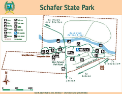
Schafer State Park Map
Map of park with detail of trails and recreation zones
268 miles away
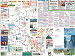
Snoqualmie Valley tourist map
Tourist map of the Snoqualmie Valley, Washington. Shows all businesses.
268 miles away
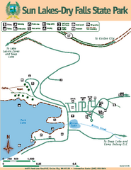
Sun Lakes-Dry Falls State Park Map
Map of park with detail of trails and recreation zones
268 miles away
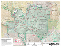
Cougar Mountain Park Trail Map
Trail map of Cougar Mountain Regional Wildland Park, part of the "Issaquah Alps"
268 miles away
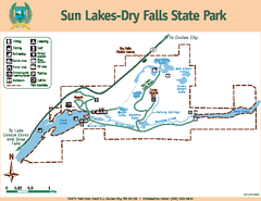
Sun Lakes-Dry Falls State Park Map
Map of park with detail of trails and recreation zones
268 miles away
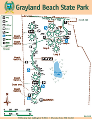
Grayland Beach State Park Map
Map of park with detail of trails and recreation zones
269 miles away
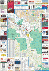
Issaquah tourist map
Issaquah, Washington tourist map. Shows all businesses.
269 miles away
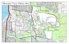
Newcastle Trails Trail Map
Trail map of existing and proposed trails in Newcastle, WA
269 miles away
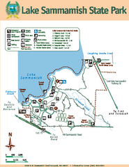
Lake Sammamish State Park Map
Map of island with detail of trails and recreation zones
270 miles away
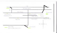
Glenns Ferry City Map
City map of Glenns Ferry, Idaho with information
271 miles away
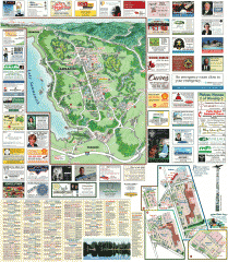
Sammamish tourist map
Sammamish, Washington tourist map. Shows all businesses.
271 miles away
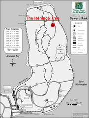
Seward Park Trails Map
Map of the trails in Seward Park, a 300-acre park on a peninsula in the south Seattle, WA area.
272 miles away
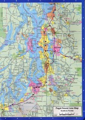
Seattle, Washington City Map
272 miles away
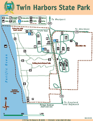
Twin Harbors State Park Map
Map of park with detail of trails and recreation zones
273 miles away
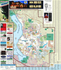
Sammamish tourist map
Tourist map of Sammamish, Washington. Shows all businesses.
273 miles away
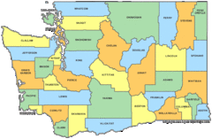
Washington State Counties Map
273 miles away
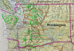
Washington State Road and Recreation Map
273 miles away
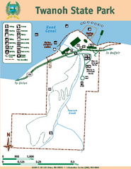
Twanoh State Park Map
Map of park with detail of trails and recreation zones
273 miles away
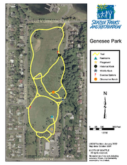
Genesee Park Trail Map
Trail map of Genesee Park in Mt Baker, Seattle, WA
273 miles away
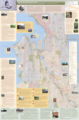
Duwamish River Community Map
This is a printed map, 32" X 40", created for the Duwamish River Cleanup Coalition in...
273 miles away
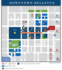
Downtown Bellevue Map
Driving Directions and Downtown Map
273 miles away
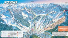
Stevens Pass Ski Trail Map
Official ski trail map of Stevens Pass ski area
274 miles away
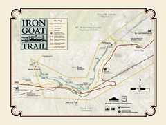
Iron Goat Trail Map
274 miles away
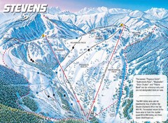
Stevens Pass Ski Area Stevens Pass Mill Valley...
Trail map from Stevens Pass Ski Area, which provides night and terrain park skiing. It has 8 lifts...
274 miles away
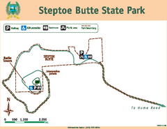
Steptoe Butt State Park Map
Map of park with detail of trails and recreation zones
274 miles away
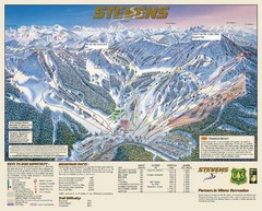
Stevens Pass Trail Map
274 miles away
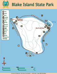
Blake Island State Park Map
Map of park with detail of trails and recreation zones
275 miles away
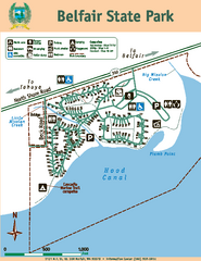
Belfair State Park Map
Map of park, with detail of trails and recreation zones
275 miles away
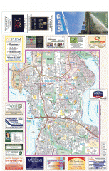
Bellevue tourist map
Tourist map of Bellevue, Washington. Shows all businesses.
275 miles away
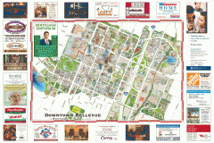
Tourist map of Downtown Bellevue
Tourist map of Downtown Bellevue, Washington. Shows all businesses.
275 miles away
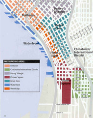
Seattle Neighborhoods Map
Map outlines several neighborhoods in Seattle, Wahsington
275 miles away
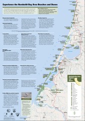
Humboldt Bay Area Beaches and Dunes Map
Humboldt Bay Beaches & Dunes Map & Guide
275 miles away
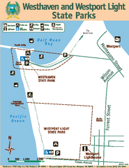
Westhaven/Westport Light State Parks Map
Map of park with detail of trails and recreation zones
275 miles away
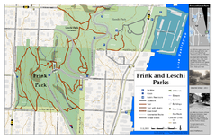
Frink Park and Leschi Park Map
276 miles away
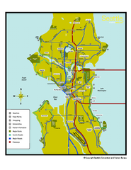
Neighborhoods of Seattle, Washington Map
Tourist map of Seattle, Washington, showing neighborhoods, parks, and scenic drives.
276 miles away

