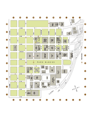
Portland State University Map
Campus Map of Portland State University. All buildings shown.
158 miles away
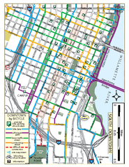
South Downtown Portland Bike Map
Biking map of southern downtown Portland, Oregon. Shows bike paths, bike parking, and bike shops.
158 miles away
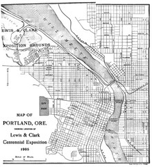
Portland, Oregon Map
Map of Portland, Oregon during centennial exposition of the Lewis & Clark Exploration...
158 miles away
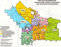
Portland Neighborhood Map
Shows neighborhood associations of Portland, Oregon.
158 miles away
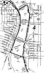
Portland Oregon downtown walk Map
Walk from the Amtrak Station to the Oregon Museum of Science and Industry. 4 miles round trip...
158 miles away
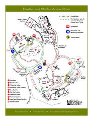
Portland Japanese Garden Map
So Far My favorite Japanese Garden
158 miles away
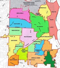
Portland, Oregon Neighborhood Map
158 miles away
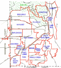
Portland, Oregon Neighborhood Map
158 miles away
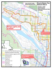
Portland, Oregon Bike Map
158 miles away
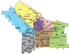
Portland, Oregon Neighborhood Map
158 miles away
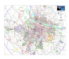
Portland, Oregon Tourist Map
158 miles away
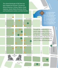
Old Town-China Town Map
Portland's oldest neighborhoods and history are easily seen in Old Town-China Town.
158 miles away
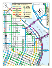
North Downtown Portland Bike Parking Map
Biking map of northern downtown Portland, Oregon. Shows bike paths, parking, and stores.
158 miles away
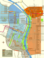
Central Portland, Oregon Map
Tourist map of Portland, Oregon. Shows museums, sports arenas, parks, and public transportation.
158 miles away
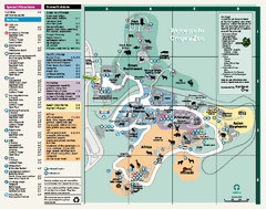
Oregon Zoo Map 2009
159 miles away
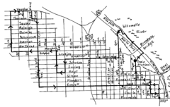
Pearl District Walking Map, Portland Oregon Map
Walk through the Pearl District, along the Willamette River and up to 23rd Street. Detour to the...
159 miles away
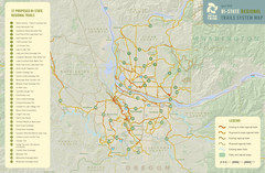
Bi-State Regional Trail System Plan Map
Shows plan for developing 37 Bi-State Regional Trails
161 miles away
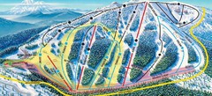
Mt. Ashland Ski Trail Map
Ski trail map of Mt. Ashland ski area near Ashland, Oregon
162 miles away
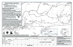
Forest Park Mountain Biking Map
Forest Park now includes over 5,100 wooded acres making it the largest, forested natural area...
163 miles away
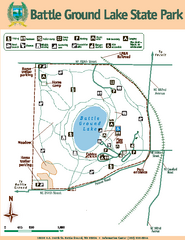
Battle Ground Lake State Park Map
Map of park with detail of trails and recreation zones
168 miles away
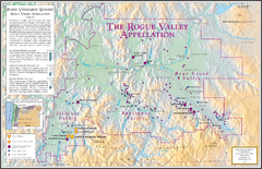
Oregon Rogue Valley wineries Map
Southern Oregon's Rogue Valley wineries
169 miles away
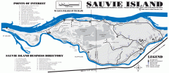
Sauvie Island tourist map
Tourist map of Sauvie Island in Oregon. Shows all businesses and points of interest.
173 miles away
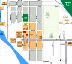
Guide Map of Old Town Ridgefield
Guide Map of Old Town Ridgefield, Washington
175 miles away
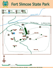
Fort Simcoe State Park Map
Map of park with detail of trails and recreation zones
176 miles away
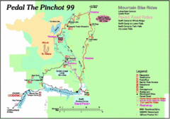
Pedal the Pinchot Bike Ride Route Map
Route Map for the Pedal the Pinchot 99 bike ride - annotated on a Park trail map.
177 miles away
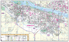
Kennewick, Washington City Map
179 miles away
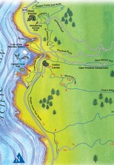
Cape Perpetua Map
180 miles away

City of Kennewick Map
Simple road map of Kennewick.
181 miles away
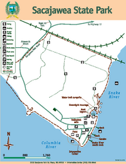
Sacajawea State Park Map
Map of park with detail of trails and recreation zones
182 miles away
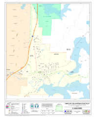
Lakeside Oregon Road Map
182 miles away
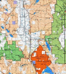
Modoc National Park Map
Visitor Map of Modoc National Park, eastern part. Includes all roads, lakes, camping and boating...
182 miles away
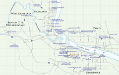
Kennewick Hotel Map
182 miles away
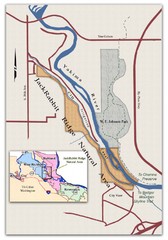
JackRabbit Ridge Natural Area Map
Shows urban wildlands
183 miles away
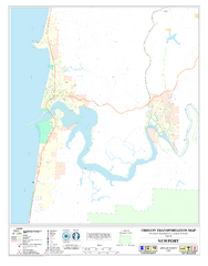
Newport Oregon Road Map
183 miles away
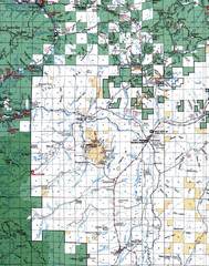
Clip07 Map
Visitor Maps of Klamath, central-western part of the park. Includes all roads, camp grounds...
183 miles away
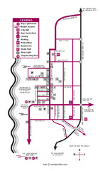
Nye Beach Tourist Map
183 miles away
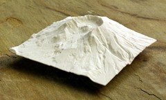
Mt. St. Helens 3D Print Map
This is a 3D-printed map of the cone, crater, and summit of Mt. St. Helens in Washington, USA. It...
184 miles away
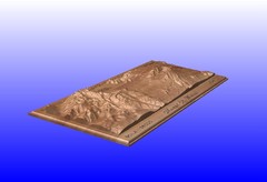
Mount St. Helens carved in wood by carvedmaps.com...
Mount St. Helens carved in wood by carvedmaps.com
184 miles away

Pacific Crest Trail Map
Shows entire route of 2,650 mile Pacific Crest Trail from Mexico to Canada.
184 miles away


